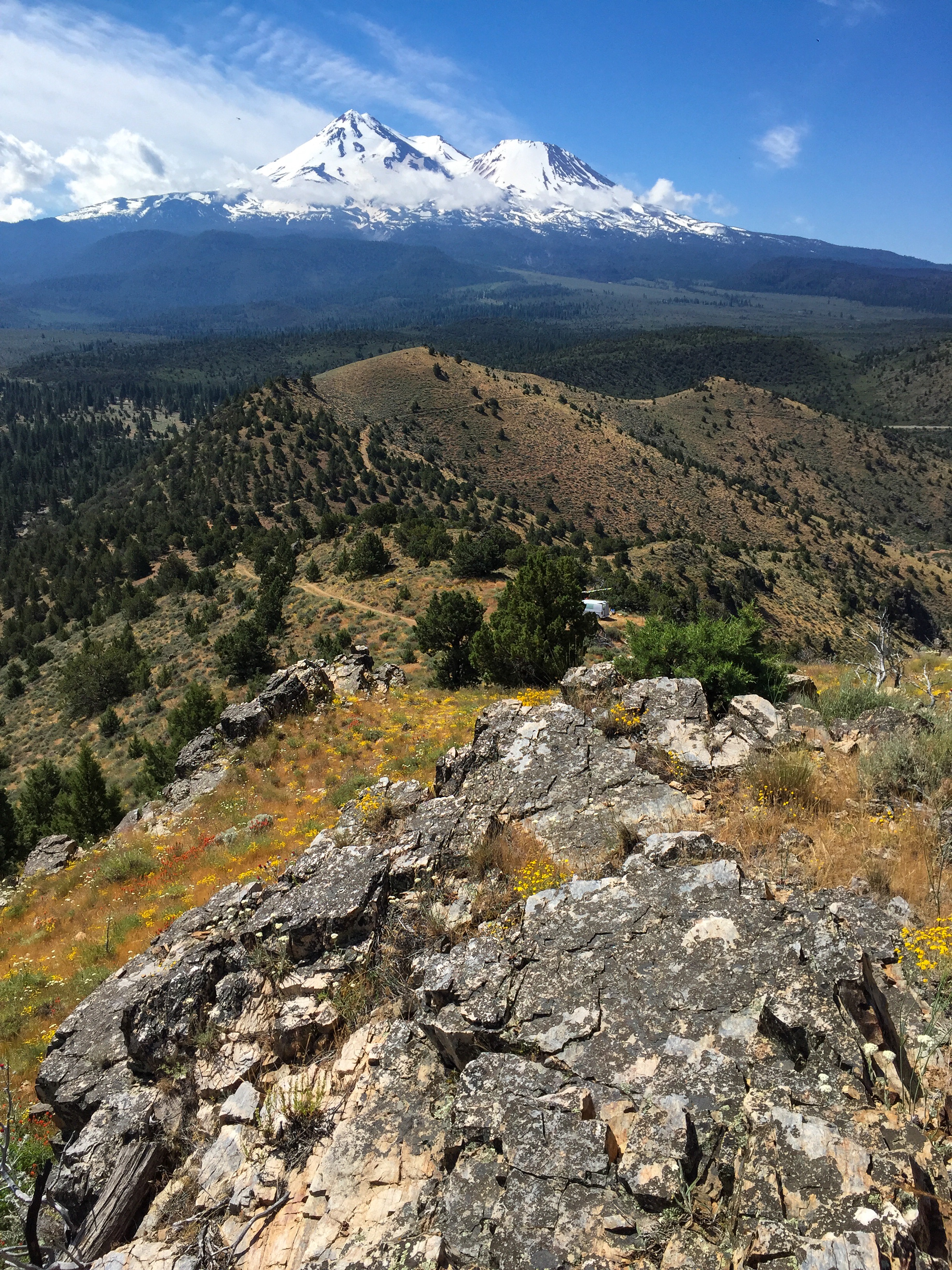
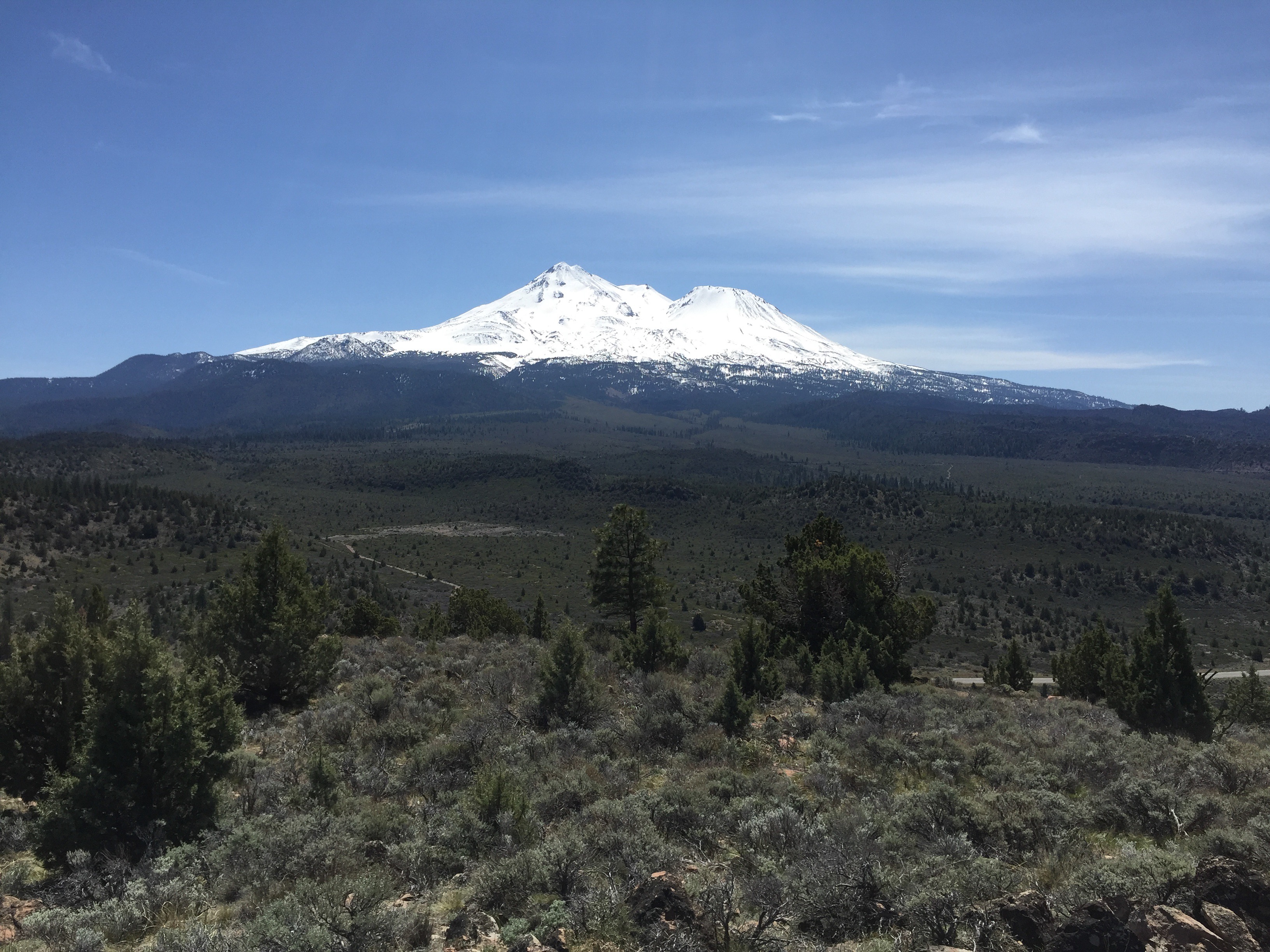
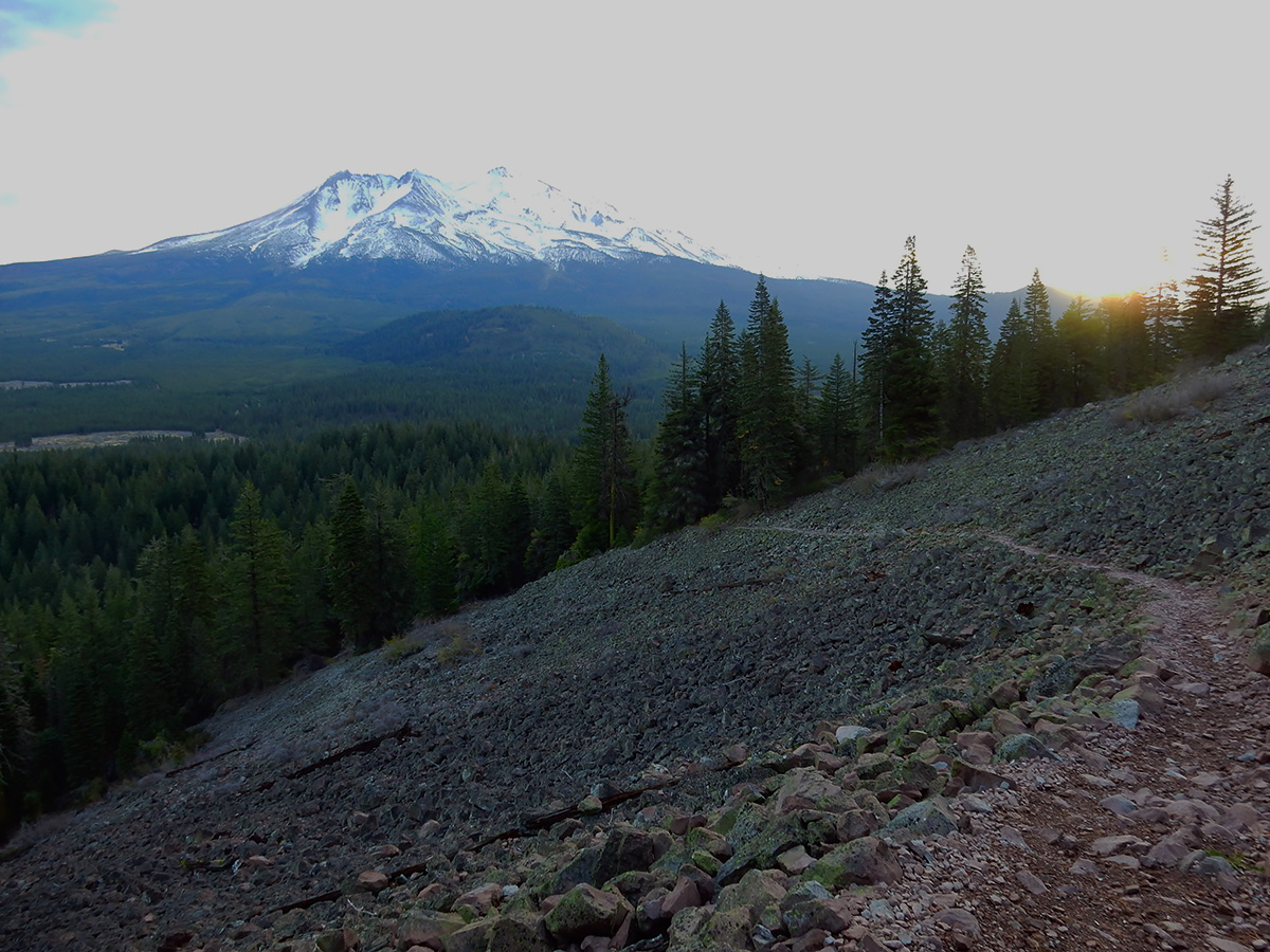
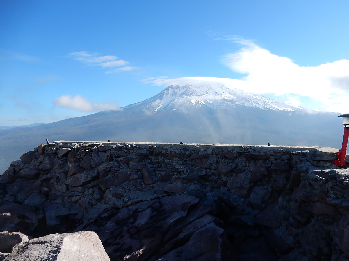
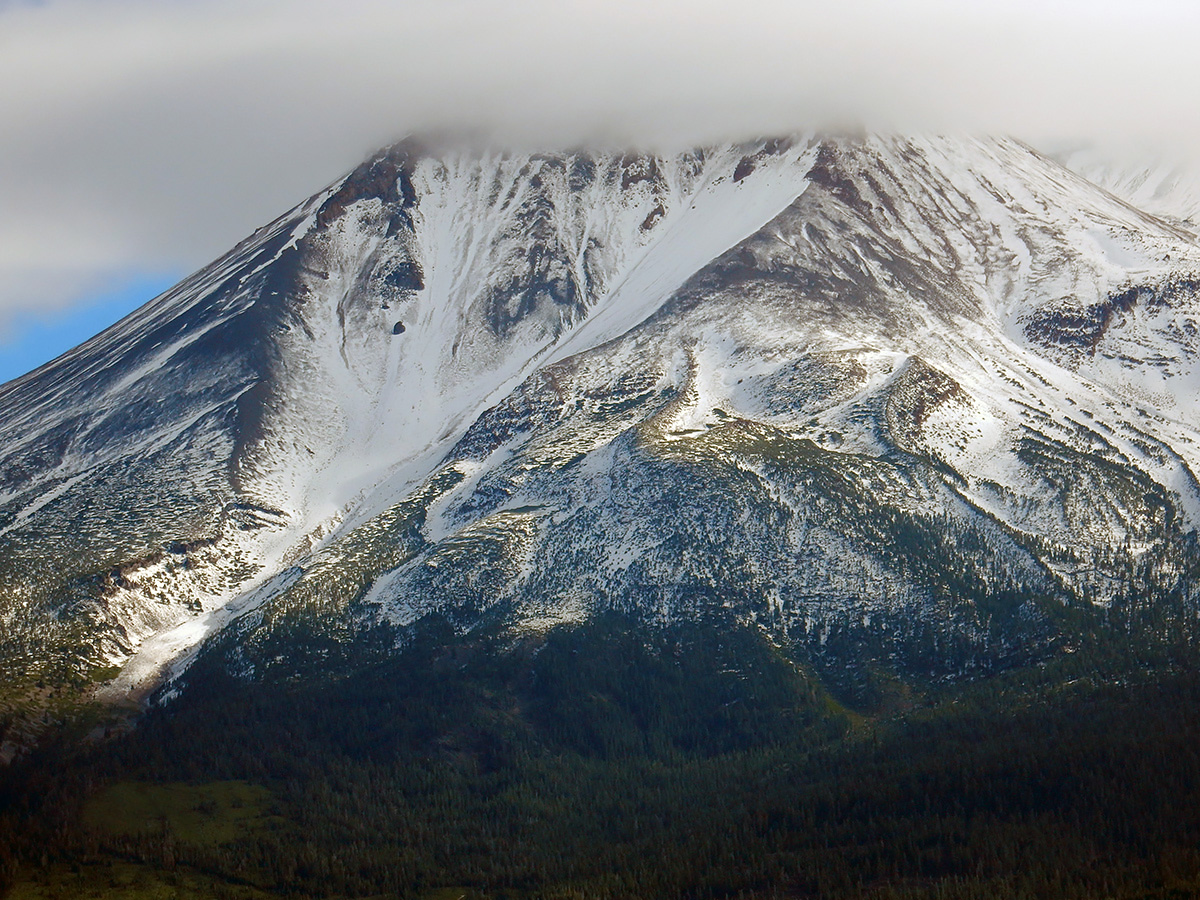
Looking south to Mount Shasta from the Yellow Butte high point. The middle and south peaks of the ridge line can be seen in the center.
Trip date: May 4, 2017
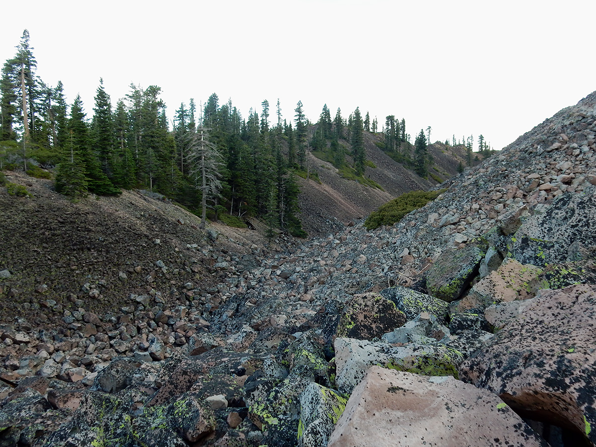
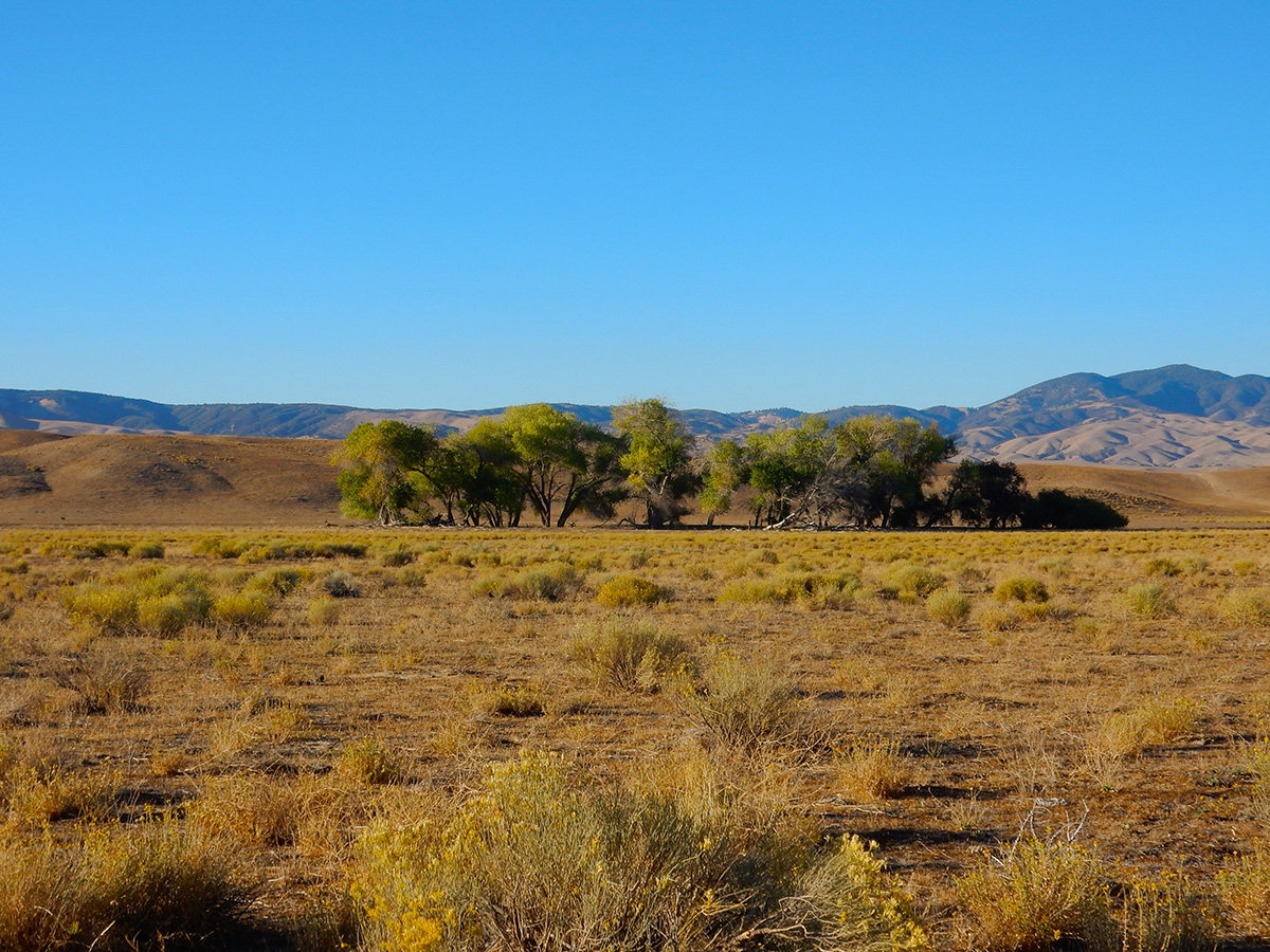
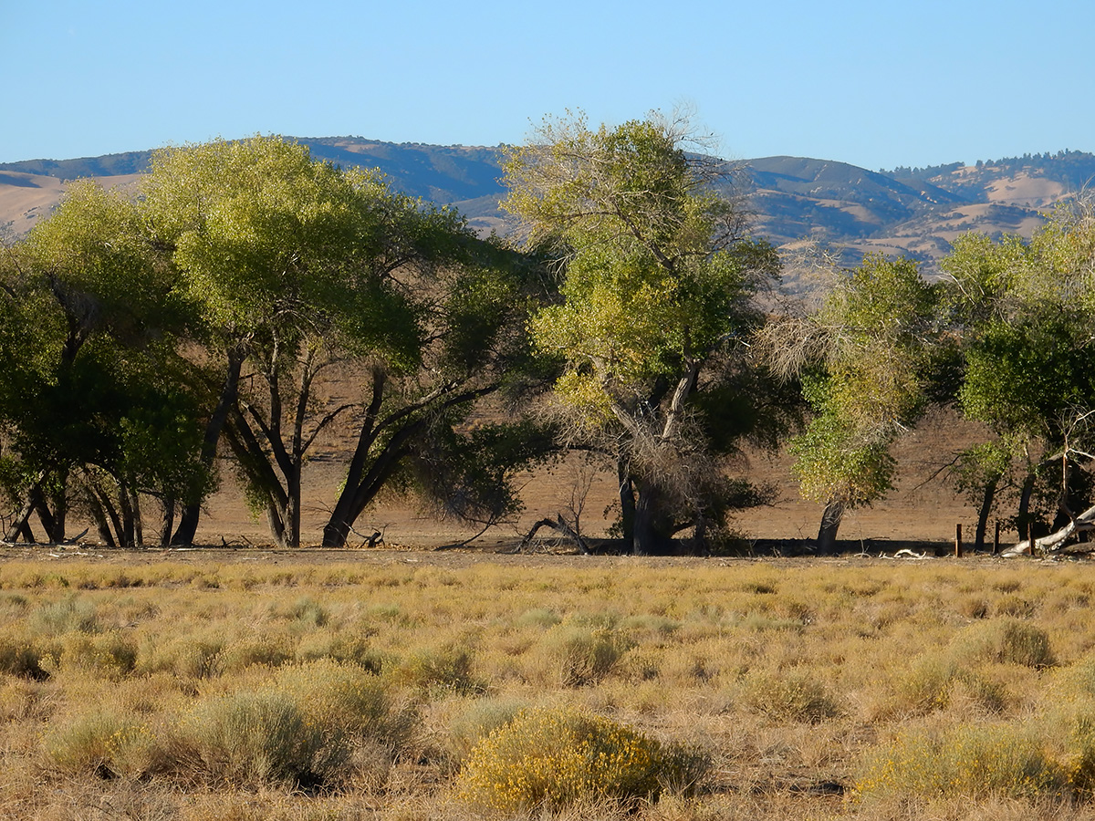
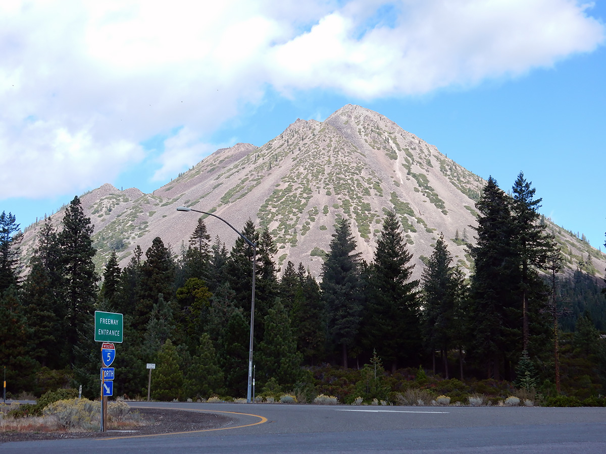
Yellow Butte is a hill on the north side of US Highway 97 about 12 miles northeast of Weed. Unlike other nearby peaks which are some kind of volcanic feature (dome, cinder cone or shield volcano), Yellow Butte is an uplifted complex of intrusive igneous and metamorphic rocks. This makes for some interesting quartzite outcrops on the top of the hill, and the unexpected diorite pluton along the first third of this route I hiked today.
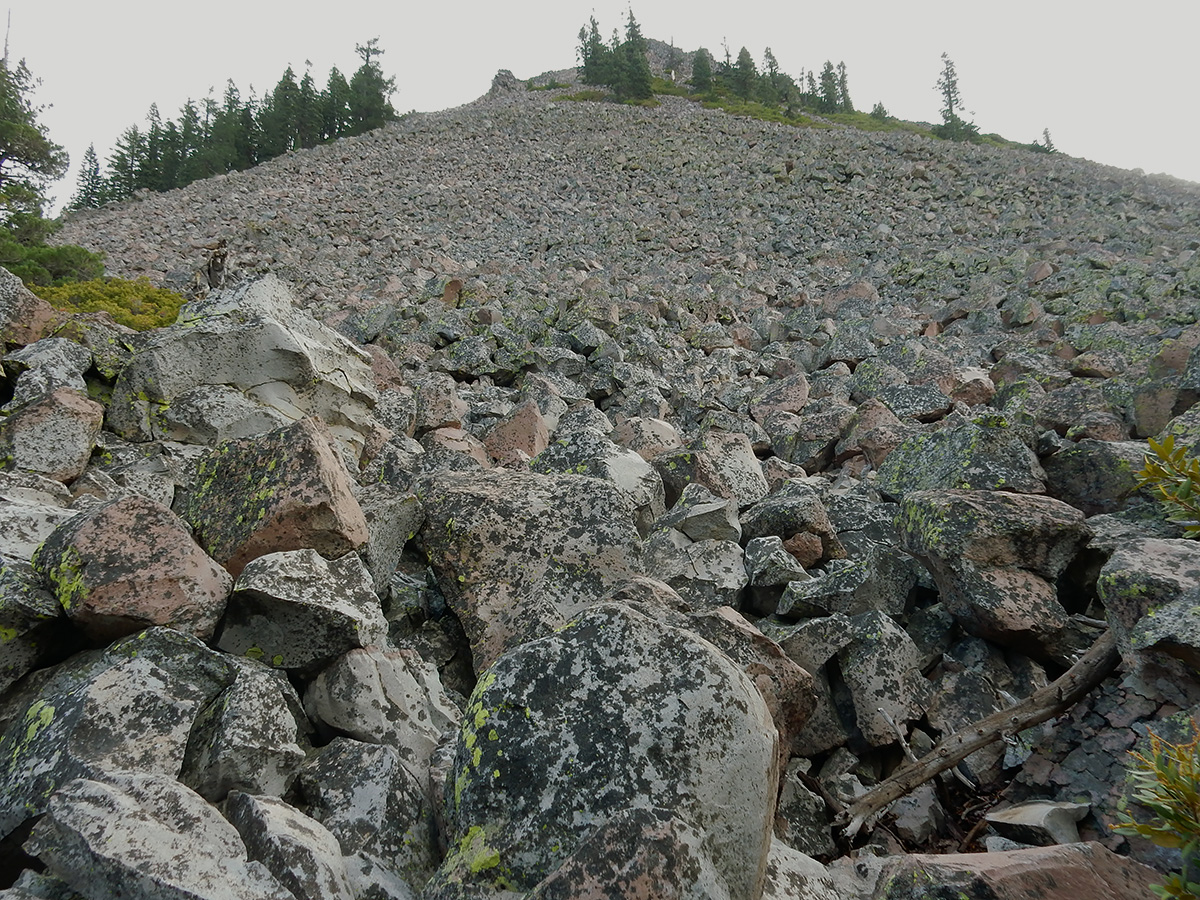
Yellow Butte is actually more of a ridge, with three distinct peaks, the northernmost being the highest. The route I’ve seen described elsewhere is a 3 mile round trip starting inside a Forest Service gate alongside Highway 97 that traverses the west side of the hill. Because my available time was short, I chose a shorter route on the east side of the hill on Yellow Butte Road, a narrow, dusty two-track off of 97. This route proceeds up to saddle area between the middle and north peaks. Truth be told, both routes to the peak are old two tracks themselves – in fact, one could drive to the summit in a 4WD high clearance vehicle. But, as I got near the top, I encountered a guy camping in a beat-up, 30 year old, 2WD, low clearance Chevy van at the top – so don’t I guess I don’t know what I’m talking about.
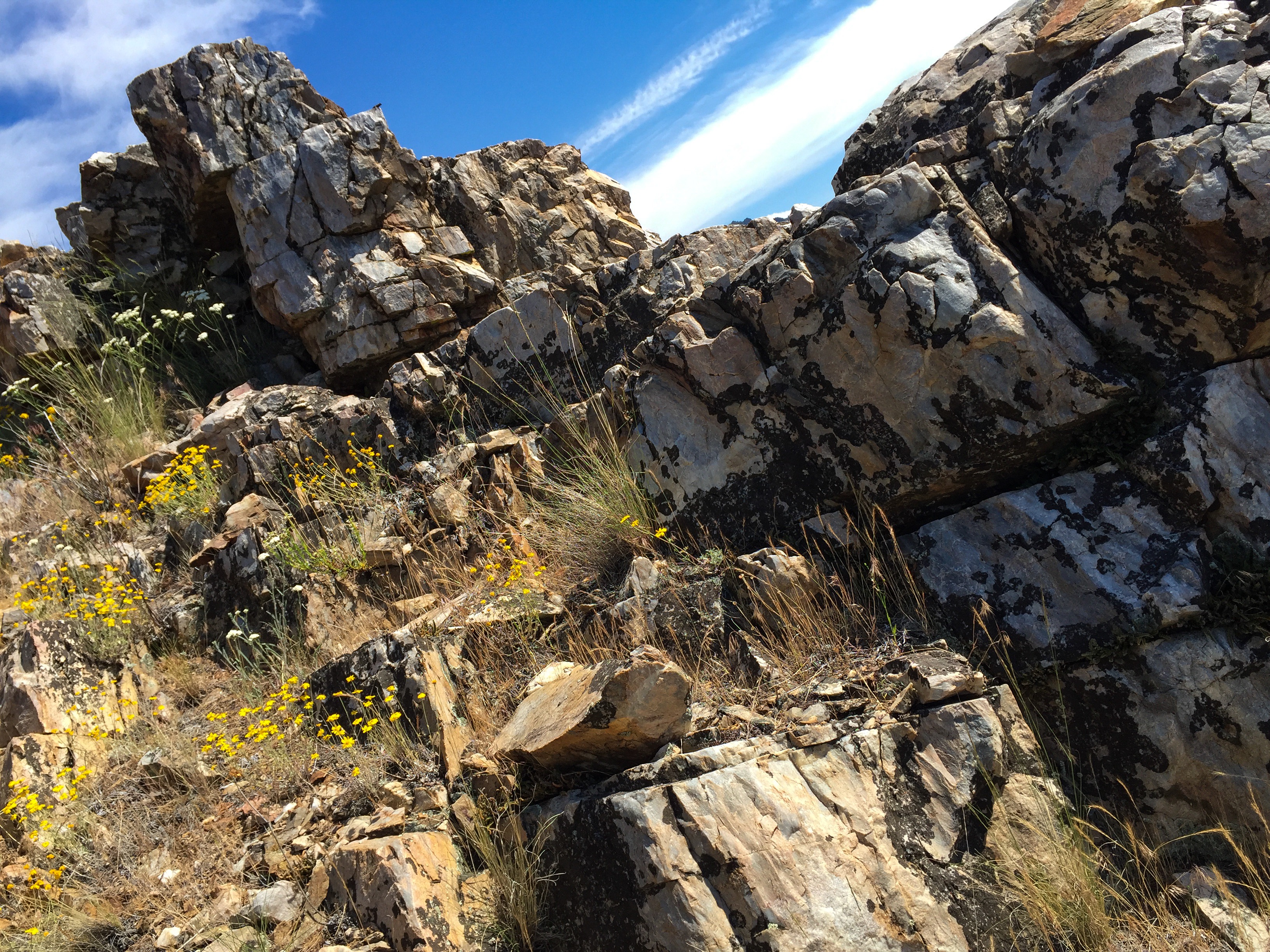
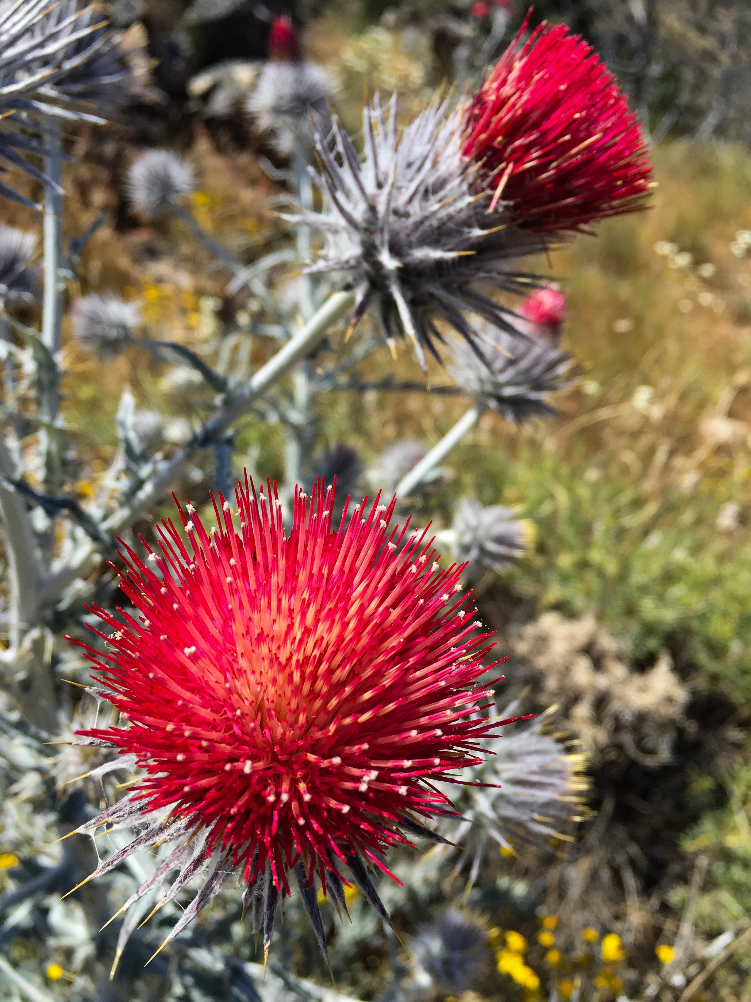
Summit area of Yellow Butte high point.Quartzite outcrop atop Yellow Butte.Looking west at Haystack (left) and cinder cone 3924 (right).Thistle along the trail.
I could not locate a survey triangulation mark indicated on some older topo maps. Neither could I find a summit log, so I left a new one behind.
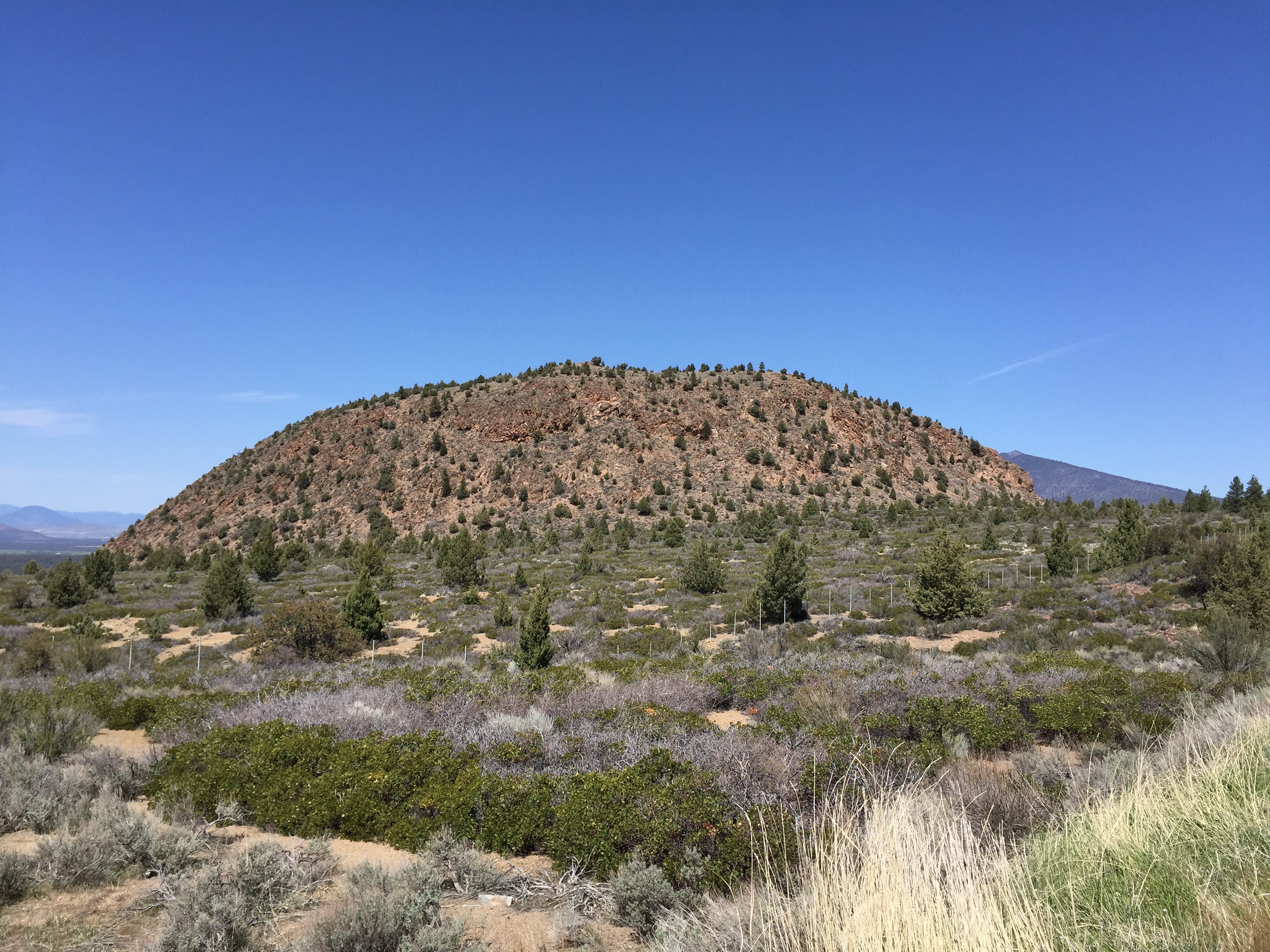
Haystack is a volcanic feature rising above US Route 97 11 miles northeast of Weed. The peak offers wonderful views of Mount Shasta to the south, the Trinity Mountains to the east, and the Mount Shasta Valley to the north. The trail is an overgrown 4WD trail to the top. Good parking is just off the highway inside a Forest Service gate. One walks about .4 mile before reaching the actual trail that starts the climb up the east flank of Haystack. The short climb takes a moderate effort to reach the top. The trail circles the rather flat, open top. Vegetation is typical high desert scrub with the scattered juniper tree. There is a high point marked with a cairn with asurvey mark underneath and a summit log. The summit log revealed that Haystack is visited every few days by hikers. The distance from the parking area to the high point is about one mile.
Haystack as seen from US Route 97.
My hiking partner & daughter, Claudia, on the trail as it climbs the east flank of Haystack.
Old growth juniper dots Haystack.
Summit cairn with benchmark and summit log.
Panorama from east to west, with Mount Shasta to the south. The Whaleback is to the left of Mount Shasta, and Mount Eddy is to the right. Click on the photo for a larger view.
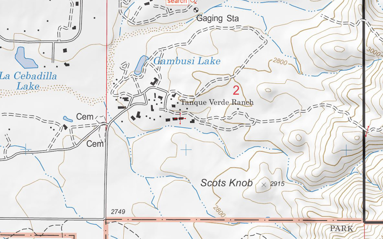
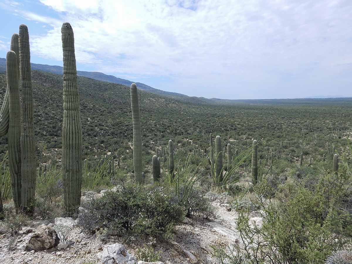
Scotts Knob is little hill (marked elevation of 2915 feet) on the eastern side of Tucson, about 1 mile east of the end of Speedway Boulevard, just north of the Saguaro National Park boundary, apparently on the property of the Tanque Verde Ranch (a local guest ranch). Unlike a couple of other hills in the area, this one is named on topographical maps, with an indicated elevation. (NOTE: On the Forest Service topo map below, “Scots Knob” with one “t” is used, but on all other maps it is spelled with two t’s)
My buddy Rob and I checked it out this Labor Day morning. Access is through a gate to the left of the TV Ranch sign; stay on any trail that goes right and hugs the boundary fence of the national park. You will eventually pass through a fence line that goes north/south – you will see the hill on your left. Proceed another 100 yards or so and another trail going north towards Scotts Knob will become apparent. Within a few minutes you will be on top of the summit. From the top you have nice views towards the Santa Catalina Mountains and Agua Caliente Hill to the north, and a great southwest sightline of the northwest face of Tanque Verde Ridge component of the Rincon Mountains.
Below are a few pictures from our exploration of Scotts Knob.
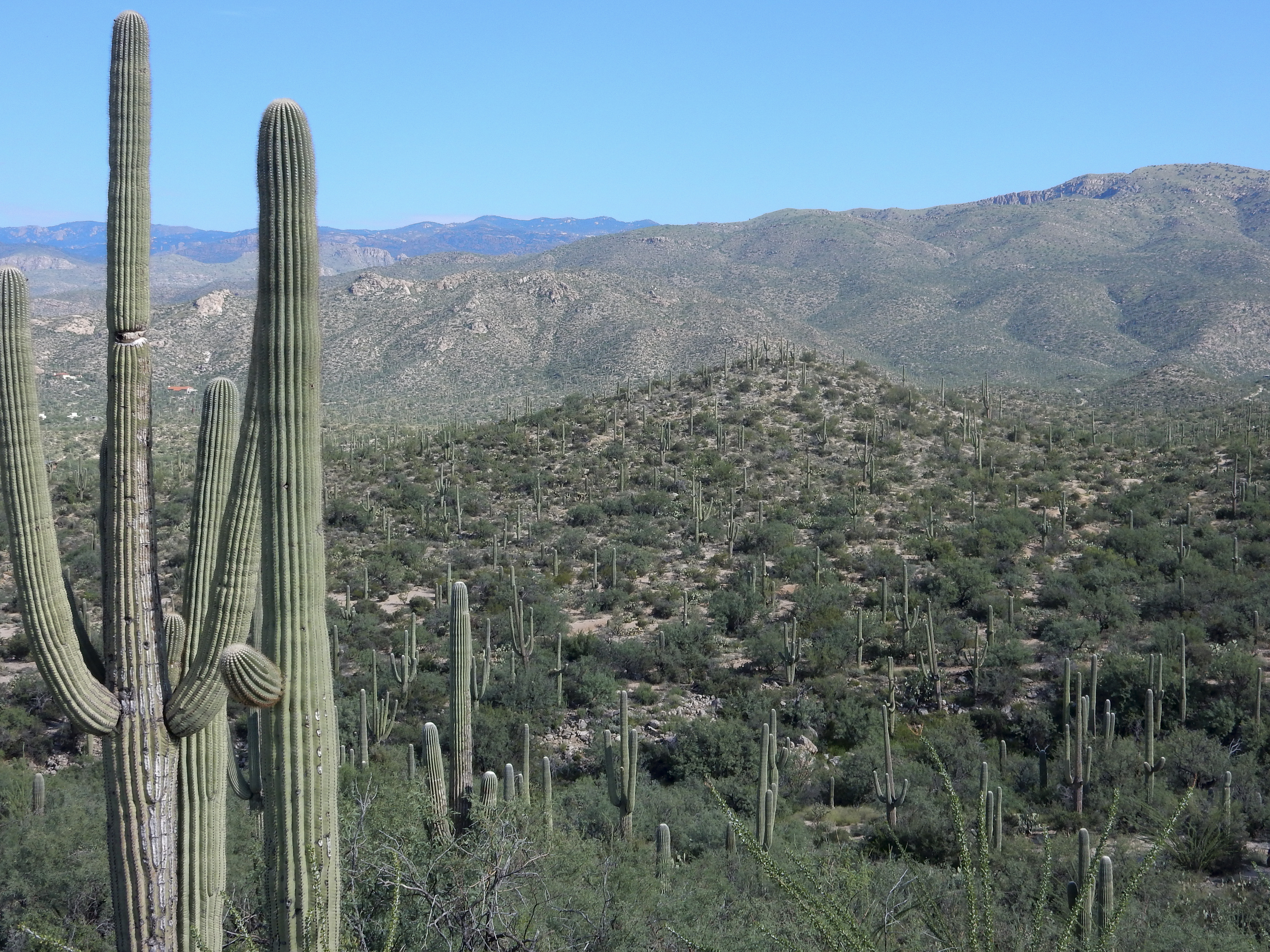
Scotts Knob is the small hill in the foreground. Agua Caliente Hill is behind it with it’s summit to the right. In the far distance are the Santa Catalina Mountains. This view is from the Douglas Springs Trail in Saguaro National Park.
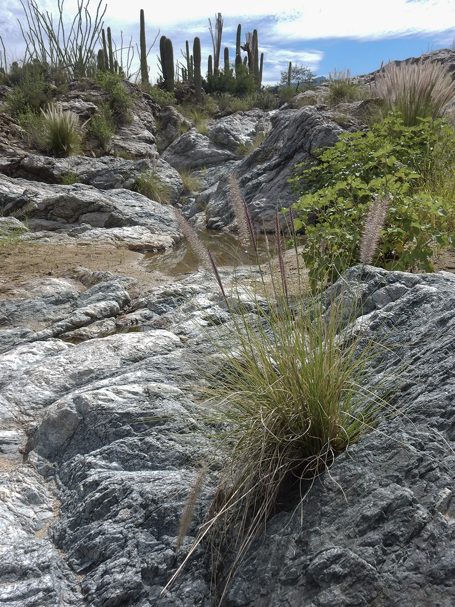
One of the small washes we crossed on our way to Scotts Knob.
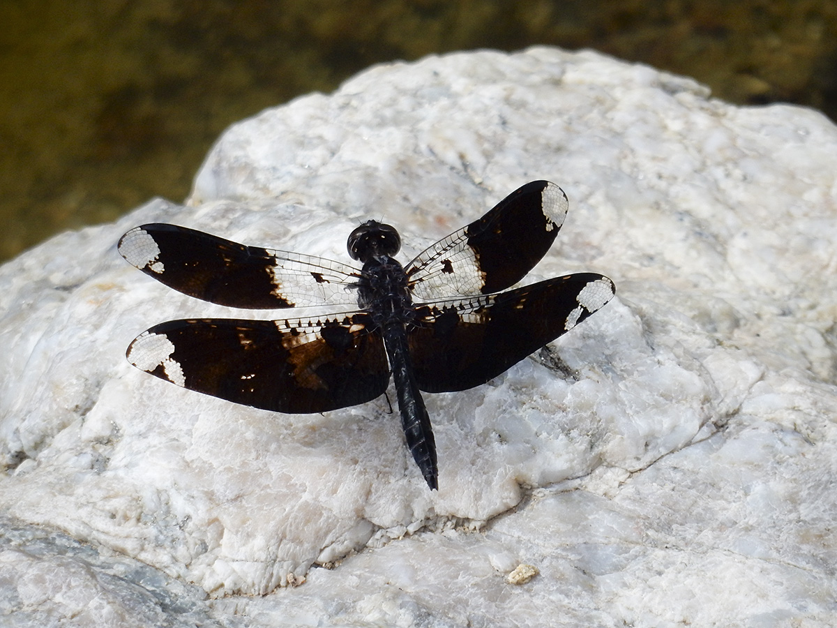
My best guess is that this is a male Filigree Skimmer dragonfly.
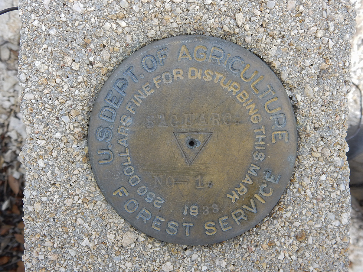
Benchmark on the summit of Scotts Knob.
Looking southwest from Scotts Knob. The Rincon Mountains are to the left.
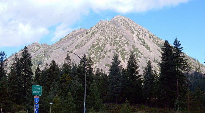
Black Butte is a dacite dome volcano that is just north of the city of Mount Shasta, sitting alongside Interstate 5. The summit tops out at 6,358 feet. Having been born in Mount Shasta and lived in Weed for the first five years of my life, and spending time over the years with various relatives still in the area (my parents moved back to area 10 years ago), I have always wanted to climb Black Butte. Frankly, I don’t know what took me so long.
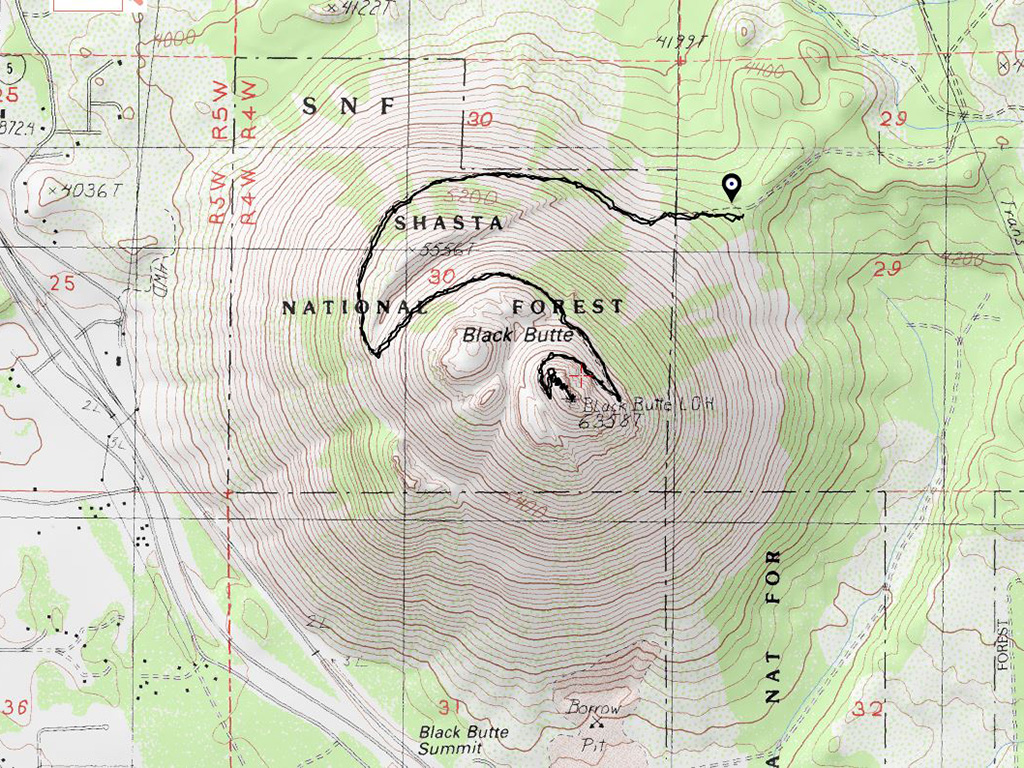
Topo map of Black Butte. As seen from the contours, Black Butte is a classic cone shaped volcano.
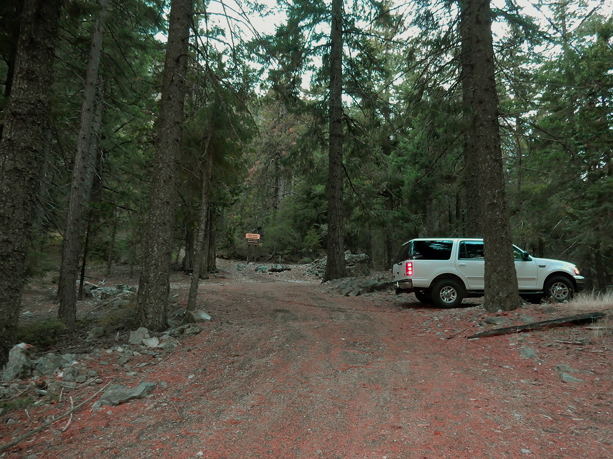
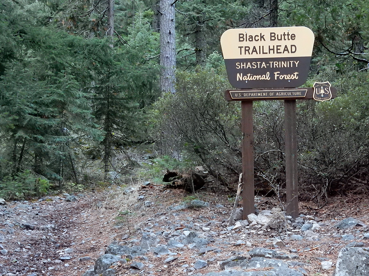
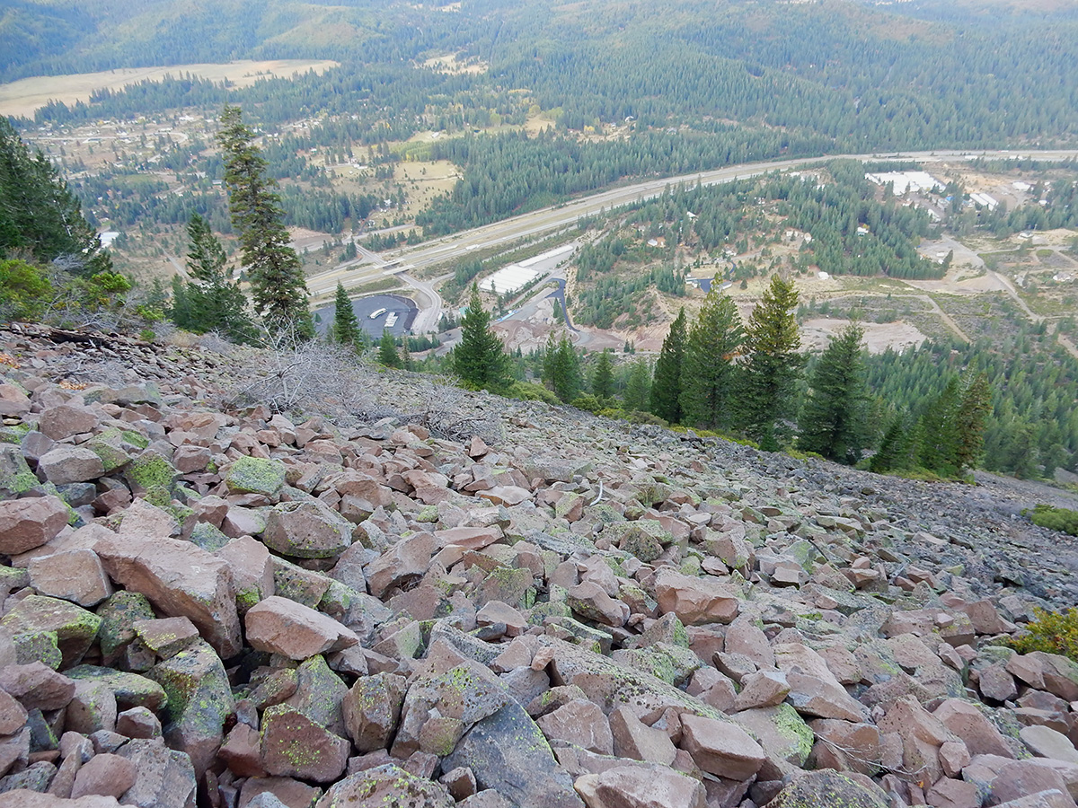
The trailhead is on the east side of the mountain. Driving north out Mount Shasta up the Everett Memorial you come to sign directing you west to the Black Butte trailhead. It’s a 3.3 mile drive on a decently maintained Forest Service road to the trailhead. I got there about 7:15 am. No one else there. It was 44 degrees outside, with a 10 mph gusts of wind. All in all, not a bad morning to make the hike. The first quarter mile of the hike is in trees, but when you pop out, and look up at the side of the mountain, it’s imposing. The slope is chunks of broken dacite, at a 45 degree angle. Basically you loop around the mountain counterclockwise from east to west side of the mountain, then the trail turns and goes back east until you come to a few little switchbacks near the top. A lot of the trail is scree, but you can move fast. Once you get near the top, it flattens out somewhat. The last 50 feet or so to the summit, where the foundation of the old fire lookout is, is a scramble. It was a bit windy on top, but still breathtaking. Mount Shasta looms to east and Mount Eddy to the west. It was cloudy and cold on top, so I didn’t linger too long. I couldn’t find a summit register, and I didn’t bring anything up to use as one.
DSCN0118 webTrailhead and parking.
DSCN0119 webThe trail starts out amongst tall pines and cedars.
DSCN0121 webAfter about a quarter mile, the trail breaks out of the trees and the scree mountainside is clearly visible.
DSCN0122 webLooking east at Mount Shasta.
DSCN0126 webLooking down at Interstate 5 just south of Weed.
DSCN0127 webLooking east at Mount Eddy
DSCN0128 webAbout half way up you encounter this sign. Duh!
DSCN0132 webBlack Butte is formed by a series of dacite eruptions, which push below the older plugs, breaking through them, and pushing them aside. As you get nearer the top, you are climbing a younger event. The wall of rocks in this photo is the remains of an older eruption.
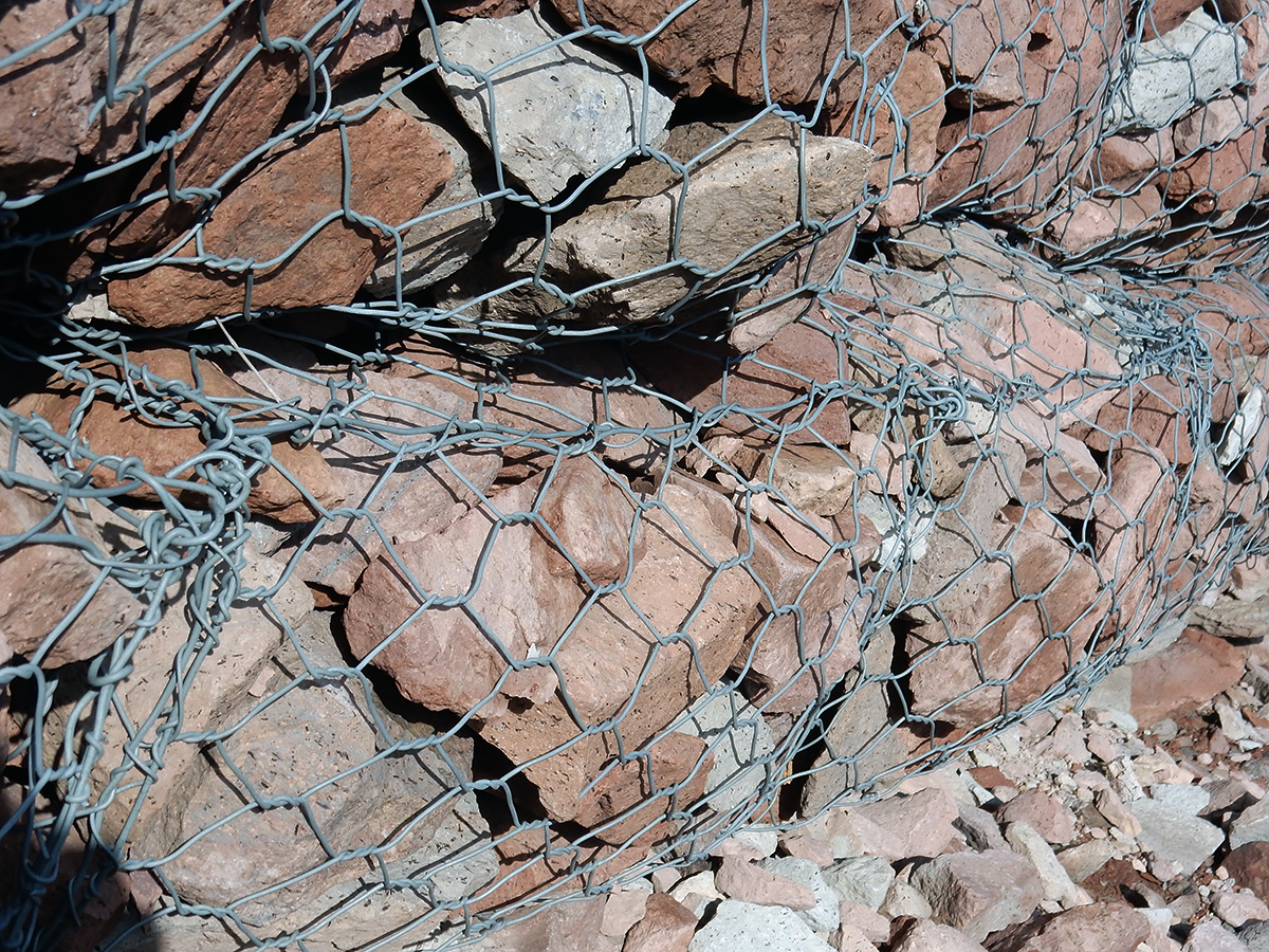
DSCN0134 webWire mesh screen to hold back a rockfall along the trail.
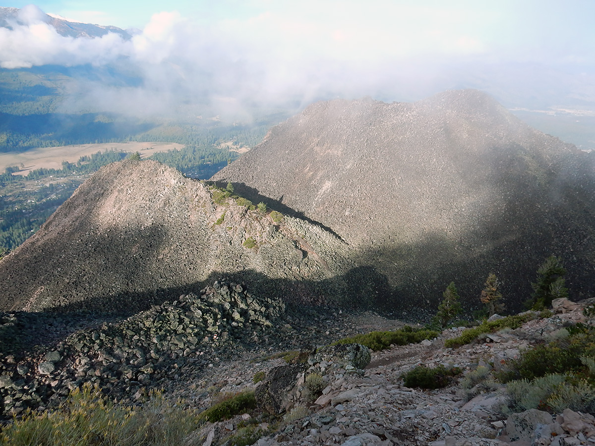
DSCN0140 webLooking down on lower peaks formed by older eruptive events.
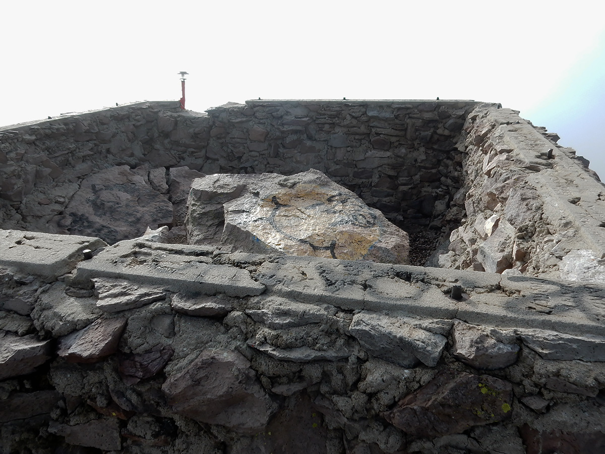
DSCN0141 webThe foundation of the Forest Service fire lookout tower that once stood on the summit.
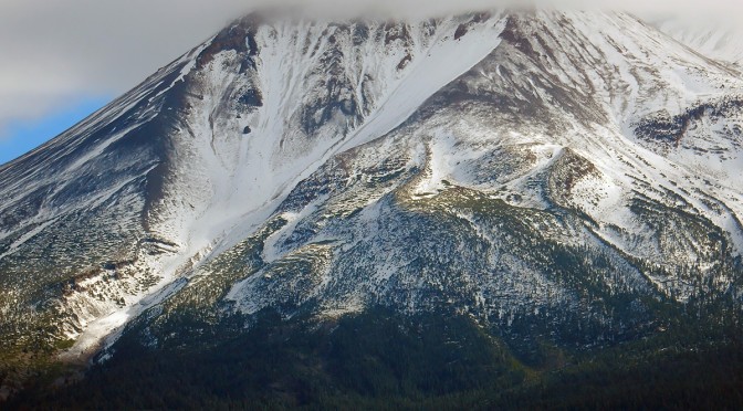
DSCN0145 webMount Shasta from the top of Black Butte.
DSCN0160 webLooking upslope towards the summit. The slop must approach 50 degrees.
I made the trip up in 2 hours, and back done in 1 1/2. My elevation gain going up was 1,807 feet. I met a lone hiker on the way down, but that was it for human contact.
Geology facts:Dacite is a gooey form of lava that generally flows very slowly.
The word dacite comes from Dacia, a province of the Roman Empire which lay between the Danube River and Carpathian Mountains (now modern Romania and Moldova) where the rock was first described. Lassen Peak is made of dacite, and is one of the largest plug domes in the world. The famous plug of Mount Saint Helens is also dacite, as are most of the lavas of Kīlauea.
Eloise and I hit the open road to see family in Mount Shasta and Sacramento, California. In those 11 days, we drove 2,444.2 miles, with stops in:
Casa Grande, Arizona
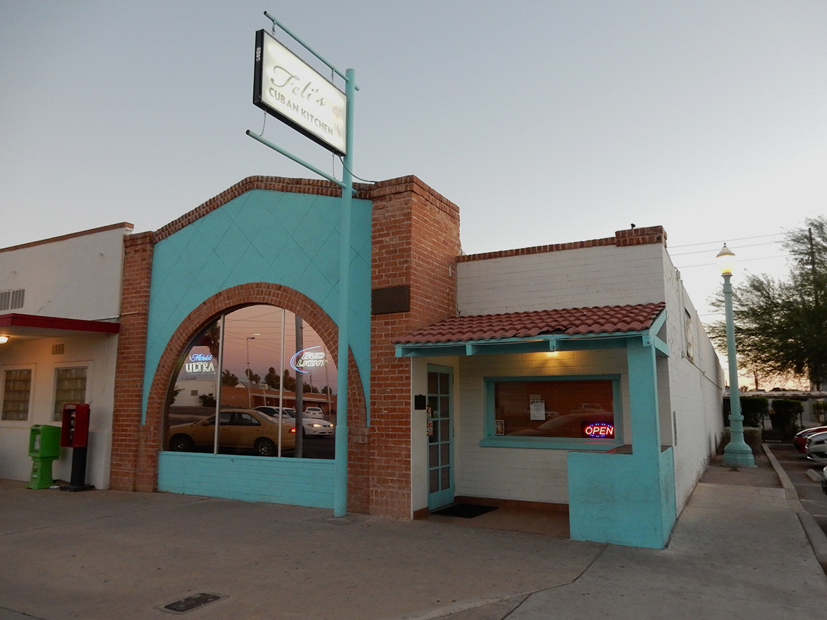
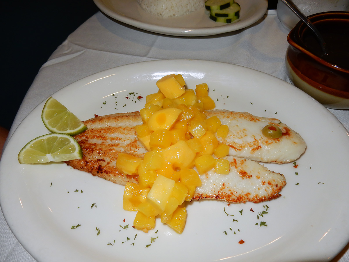
We started the trip out with a delightful meal at the highly rated Feli’s Cuban Kitchen in Casa Grande. Eloise’s dinner was especially tasteful and artfully presented (flounder with mango and pineapple)
Palm Desert, California
Merced, California
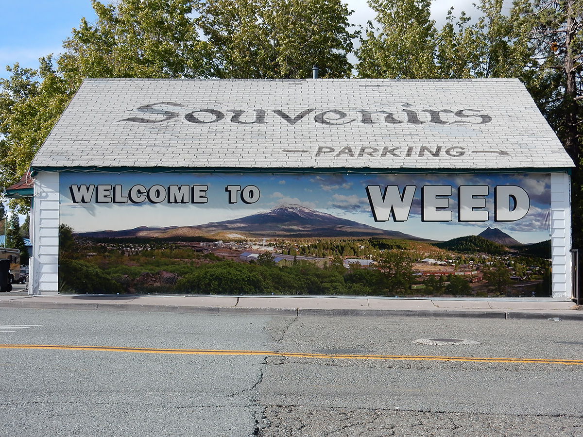
Weed/Mount Shasta, California (3 nights)
I hiked to the top of Black Butte, an extinct dacite dome volcano just north of the City of Mount Shasta on the east side of Interstate 5. A trip report and photoset for the hike is posted on this site, as well as at hikearizona.com
We had dinner with our son and one of Eloise’s brothers at a wonderful restaurant in Auburn, California, Carpe Vino. Among us we had fresh popcorn in melted black truffle butter, muscovy duck breast (farro, butternut squash, purslane, seared onion, huckleberry), niman ranch bistro filet (chanterelles, pole beans, fingerling potato, black garlic soubise), and skuna bay salmon (sunchokes, fuji apple, brussels sprouts, dill, apple must brown butter). For dessert, 3 out of 4 of us had chocolate profiteroles, which were walnut ice cream balls wrapped in caramel and walnut streusel. Simply unbelievable. The service was outstanding.
I bagged a couple of highpoints in the area: Carpenter Hill, which is the Sacramento County highpoint, and a small hill in neighboring El Dorado Hills, Peak 1161. Click on the names to go to trip reports at hikearizona.com
Monrovia, California
Nectar of the gods
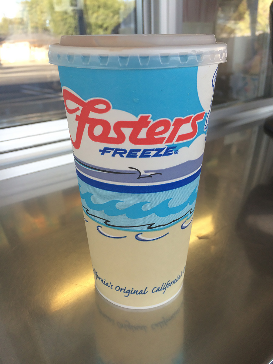
The drive from Folsom to Monrovia included a stop in Atwater at the Foster’s Freeze. Those of you unfamiliar with California drive-in cuisine, Foster’s is a DQ-like chain. I had been saving my calorie budget for an extra larger chocolate malt, with extra malt. Later I found out that this Foster’s Freeze was featured in Pulp Fiction(which I have not seen), where apparently Bruce Willis runs Ving Rhames over in the parking lot.
Yuma, Arizona
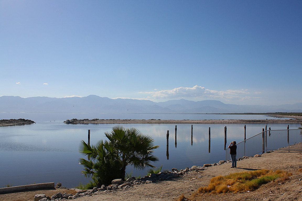
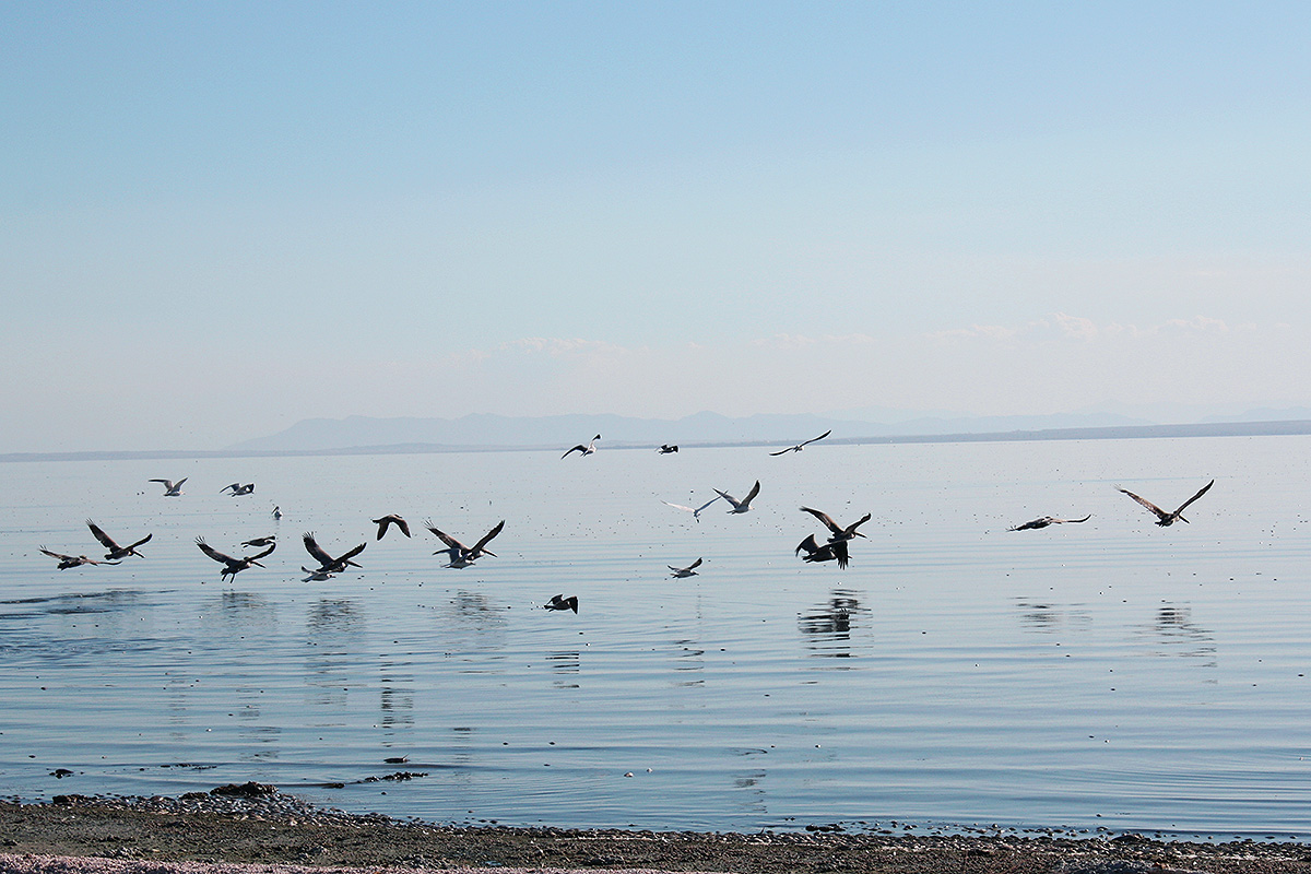
An easy day’s drive with a couple of stops along the Salton Sea, where we had never been. It’s an impressive body of water, dramatic with it’s sea to desert interface. I would consider camping here sometime during the offseason – none of the campgrounds along any campers in them, save one or two here or there. Solitude abounded. We stopped at the North Shore Beach & Yacht Club along State Route 111, a county recreation facility that once was a marina and resort for Hollywood types. There we watched pelicans, egrets and other birds, while enjoying the pleasant autumn sun and sound o the water lapping the shore.
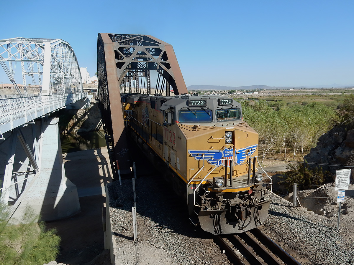
I spent a couple hours of the morning before we drove to Tucson exploring Yuma and taking pictures of trains crossing the Colorado River next to Interstate 8. We hit the road about noon, stopping in Dateland to buy dates. I’ve always been fascinated by abandoned places, especially abandoned airfields, so I remembered that there were several old WWII training fields in the area. One was back west a couple of miles on the south side of the interstate. So we headed there, and as we crossed the adjacent railroad tracks, we came across signs proclaiming “Barry M Goldwater Firing Range : Do Not Enter : Live Fire Range, yada, yada, yada”. I pondered ignoring the sign for a few moments, I mean the airfield was just another quarter mile down the road, and not an A-10 or F-35 to be seen. Well, wisdom prevailed, and I turned around – only to see a Border Patrol agent coming from the direction of the airfield 30 seconds later. An encounter with any federal agent would not have been good. But that’s ok, because just on the other side of Interstate 8 is Dateland Field, another abandoned WWII training field, so I was able to stop there. Passing Gila Bend, I got a good look at the Sand Tank Mountains, part of the Sonora Desert National Monument. It looks like a fascinating area to explore, and I’ve put it on my bucket list. There’s a great series of trip reports about this area by Desert Mountaineer.
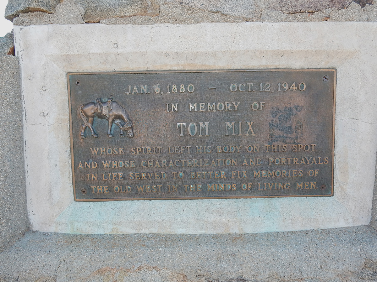
DSCN0042 webThe Tom Mix Memorial on Arizona State Route 79 north of Oracle Junction
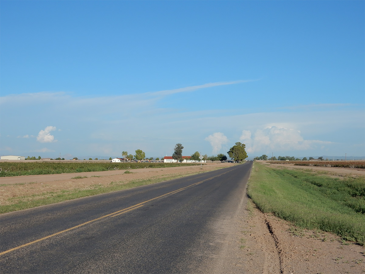
DSCN0049 webFarmland near Florence, Arizona
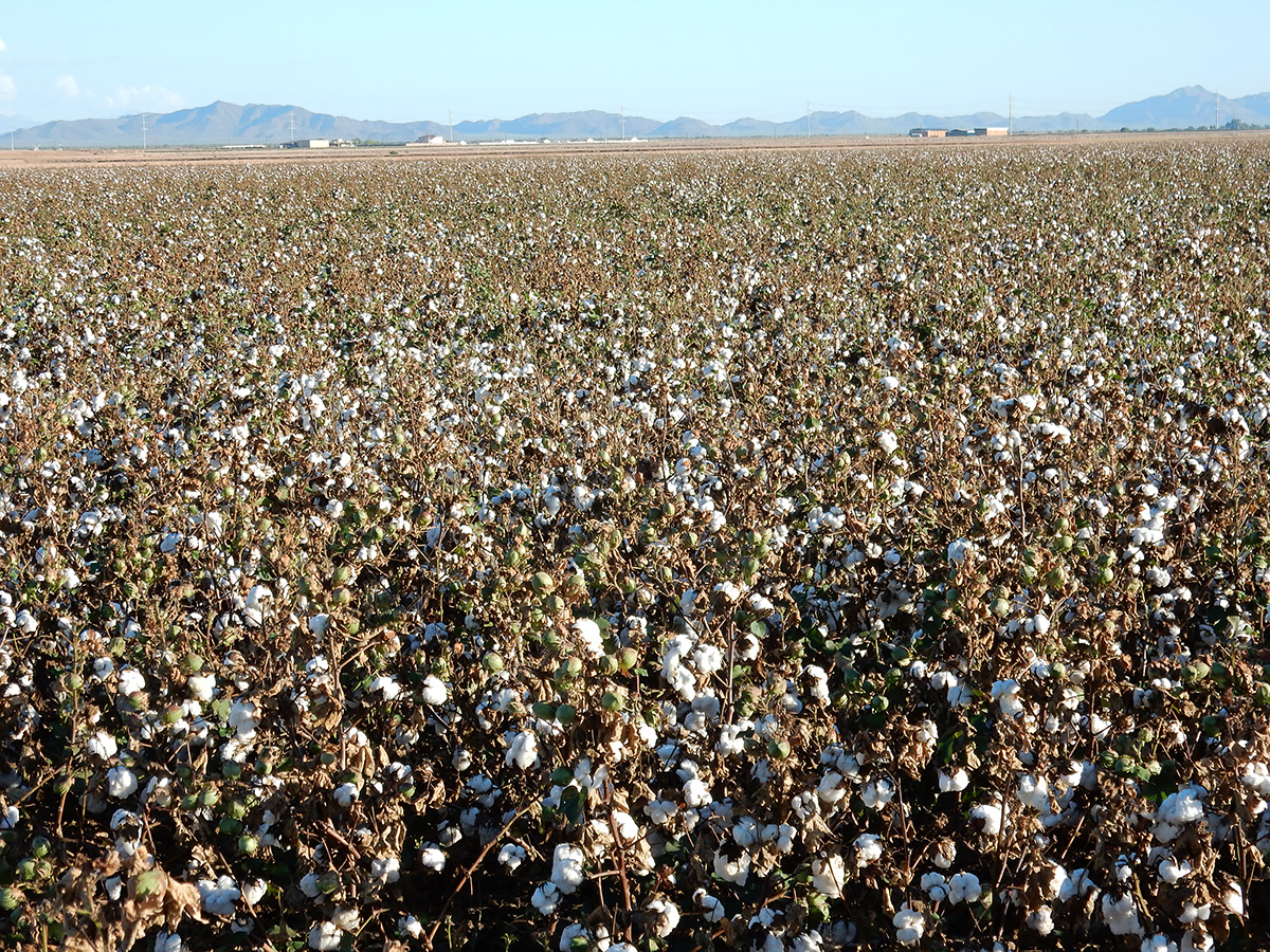
DSCN0046 webCotton fields, Florence, Arizona
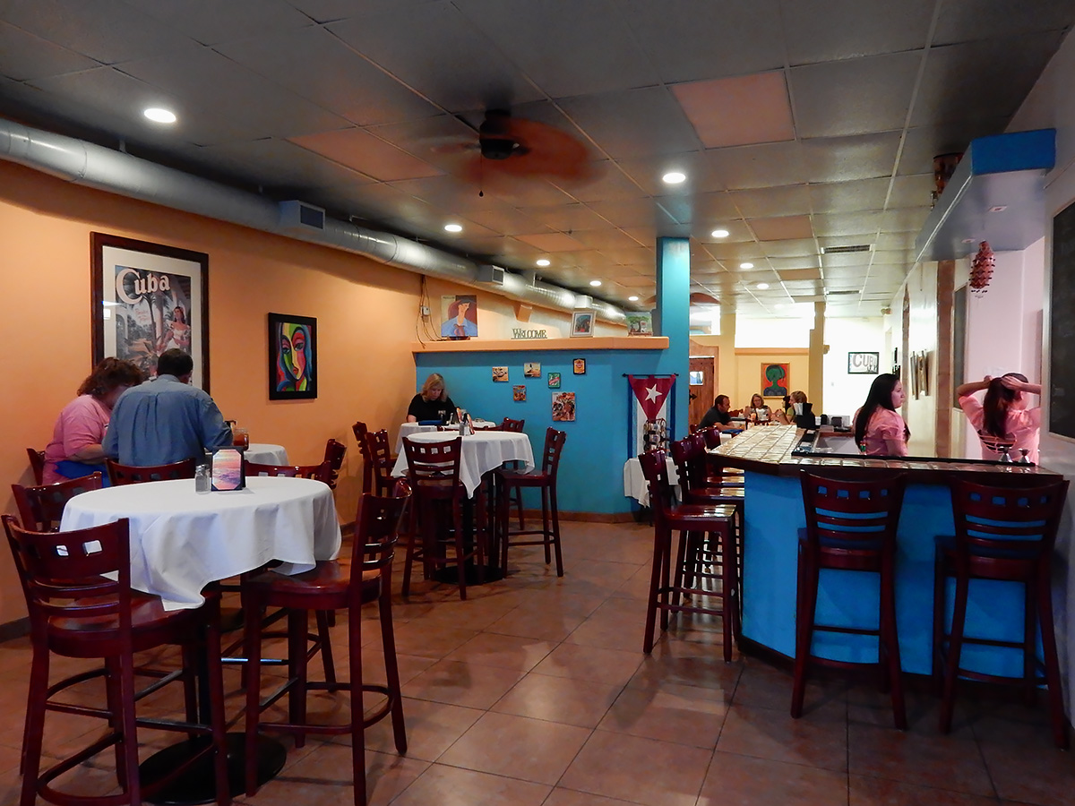
DSCN0050 webFeli's Cuban Kitchen, Casa Grande, Arizona
DSCN0052 webFeli's Cuban Kitchen
DSCN0057 webFlounder with mango and pineapple, Feli's Cuban Kitchen
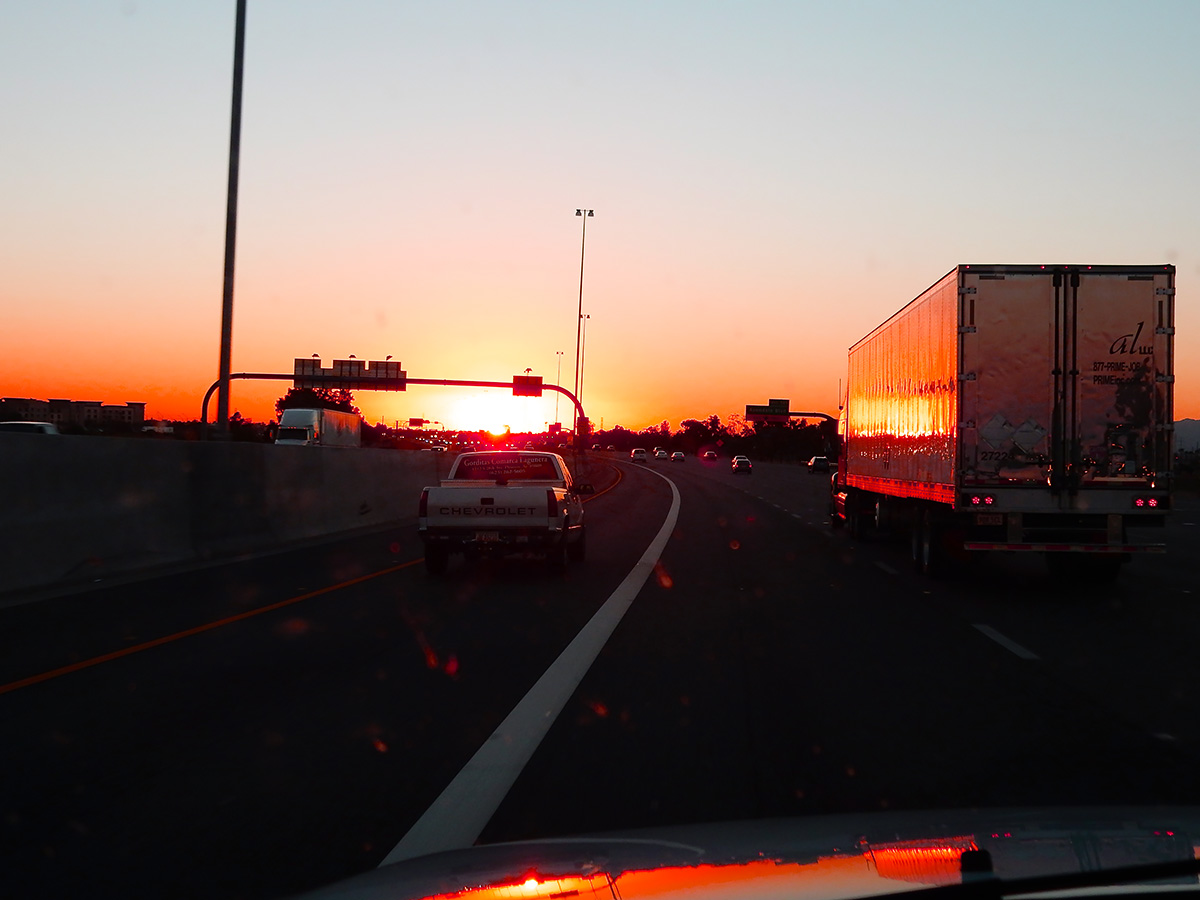
DSCN0064 webHeading west out of the Phoenix metroplex at sunset
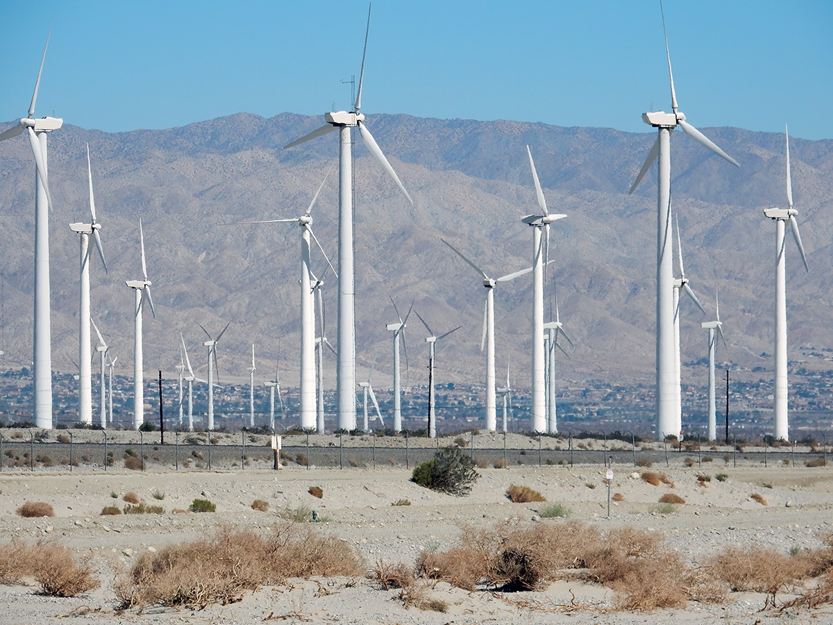
DSCN0070 webWind turbines outside of Palm Springs, California
DSCN0074 webCottonwoods along California State Route 138
DSCN0077 web 2
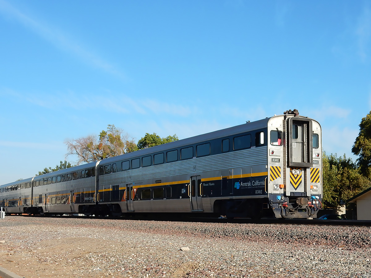
DSCN0078 webAmtrak cab car "Mount Shasta" heading north, Merced, California
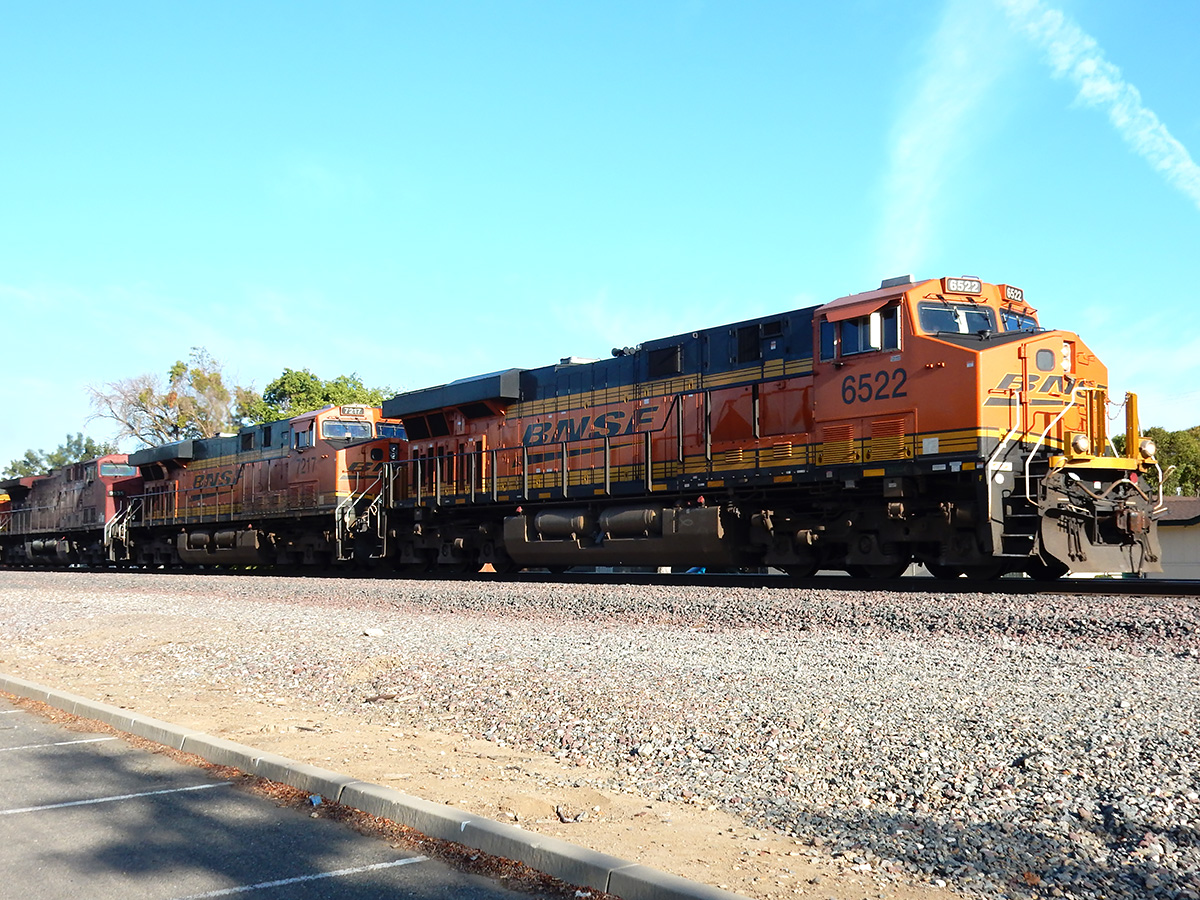
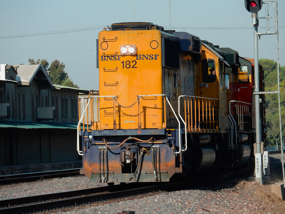
DSCN0080 webSouthbound freight on the BNSF line, Merced, California
DSCN0083 webLocal BNSF crew setting out freight cars
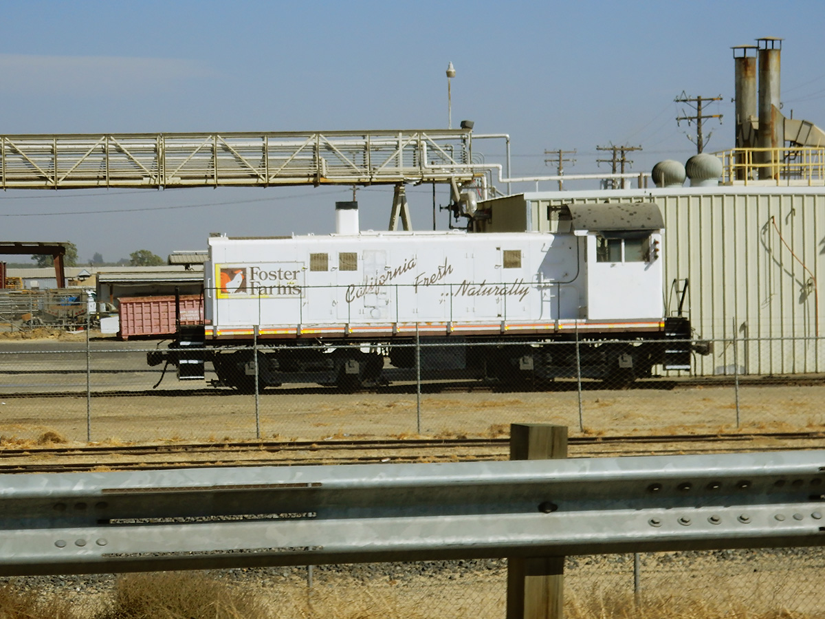
DSCN0092 webSW1200 switch engine at the Foster Farms Collier Road plant
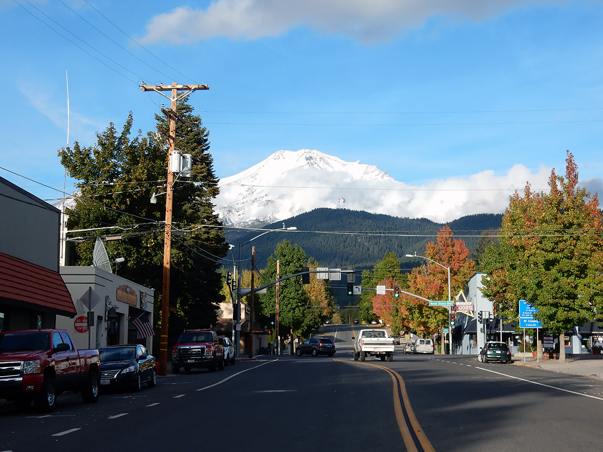
DSCN0117 webCity of Mount Shasta below its namesake
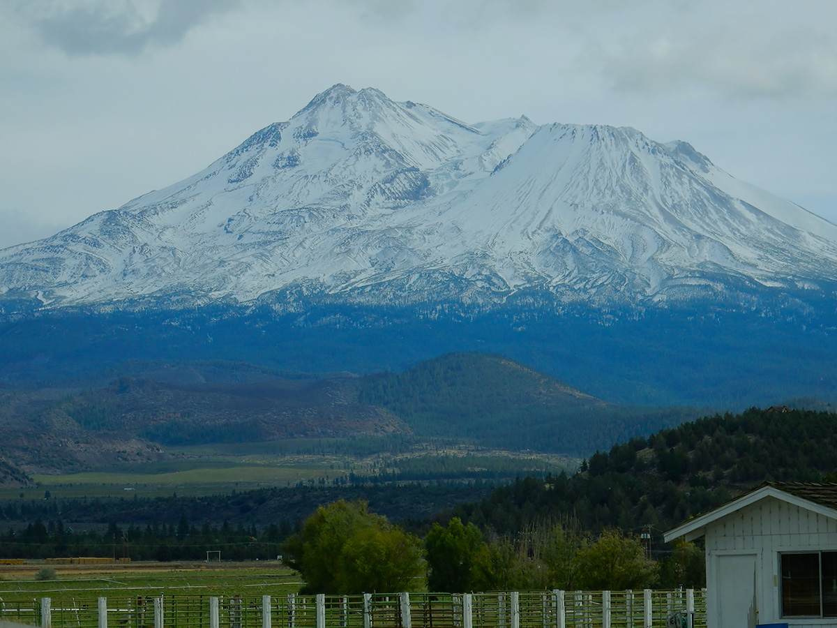
DSCN0101 webMount Shasta from the northwest side
DSCN0155 webThe Shastina cone of Mount Shasta
DSCN0110 webWeed, California
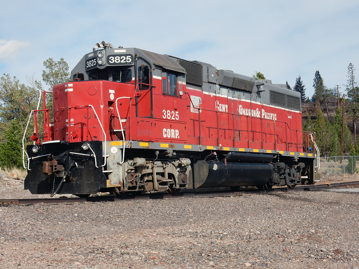
DSCN0105 webSwitch engine at Roseburg Lumber Products in Weed, California
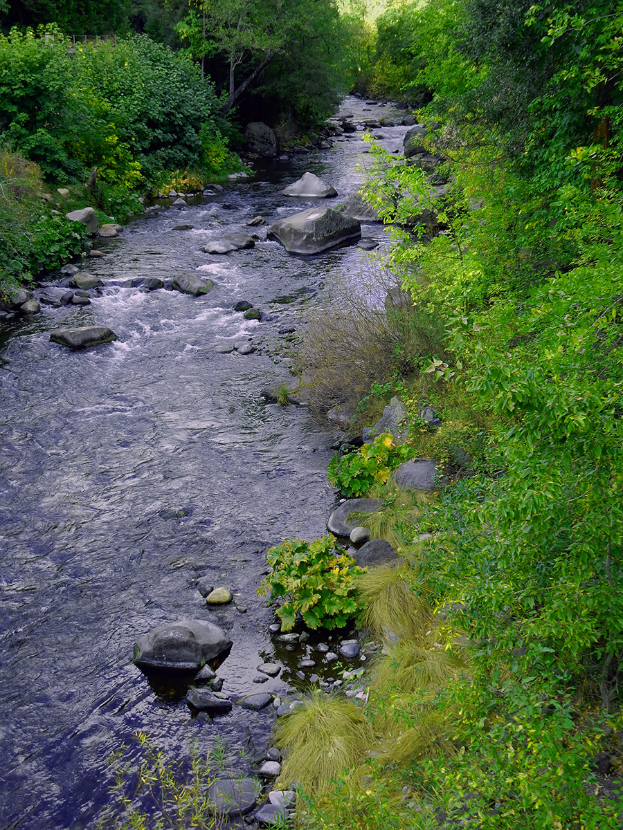
DSCN0115 webThe Sacramento River, Dunsmuir, California
DSCN0161 webBlack Butte, just north of Mount Shasta. Black Butte is an extinct dacite dome volcano.
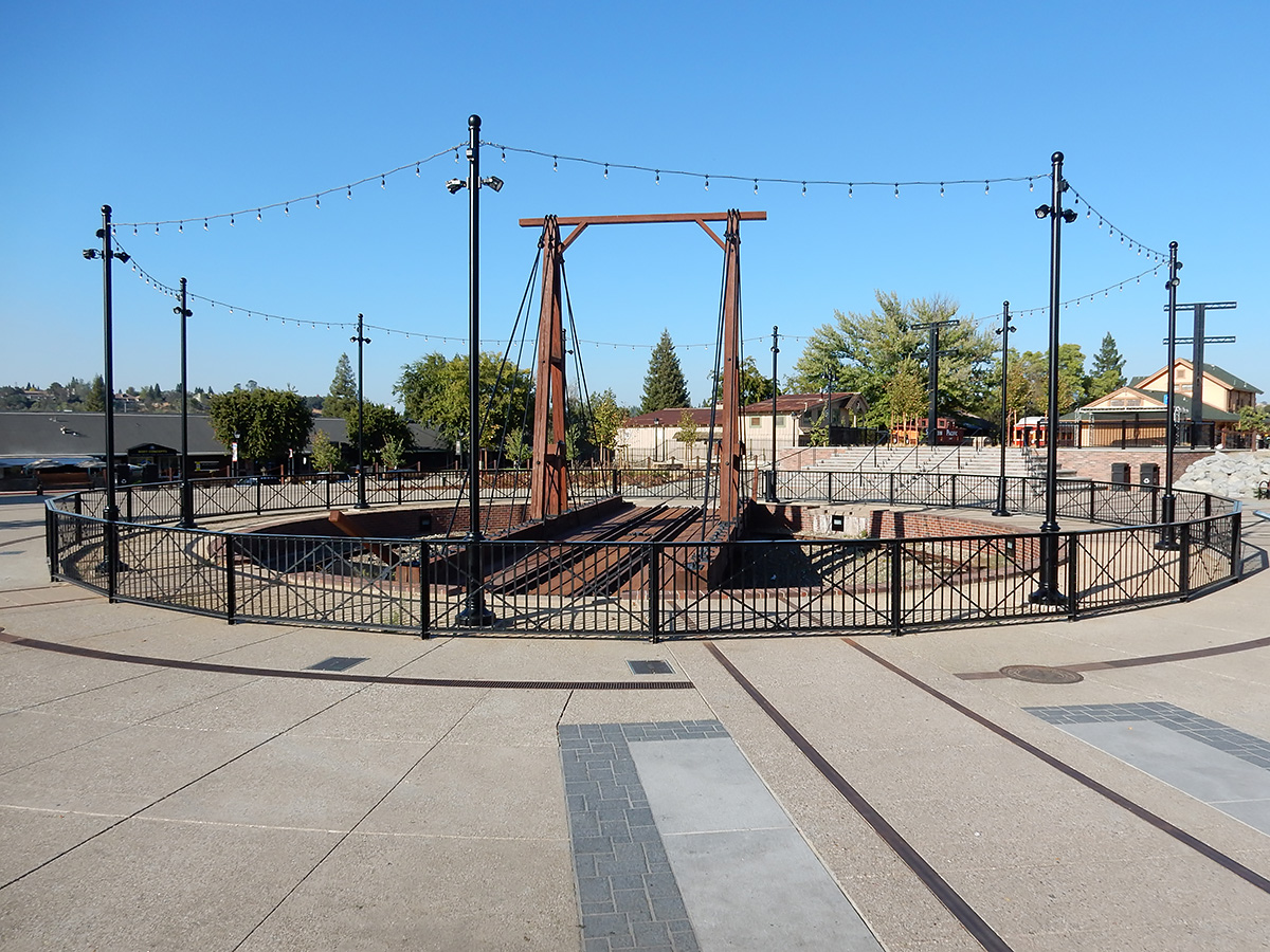
DSCN0207 webLocomotive turntable replica, downtown Folsom, California
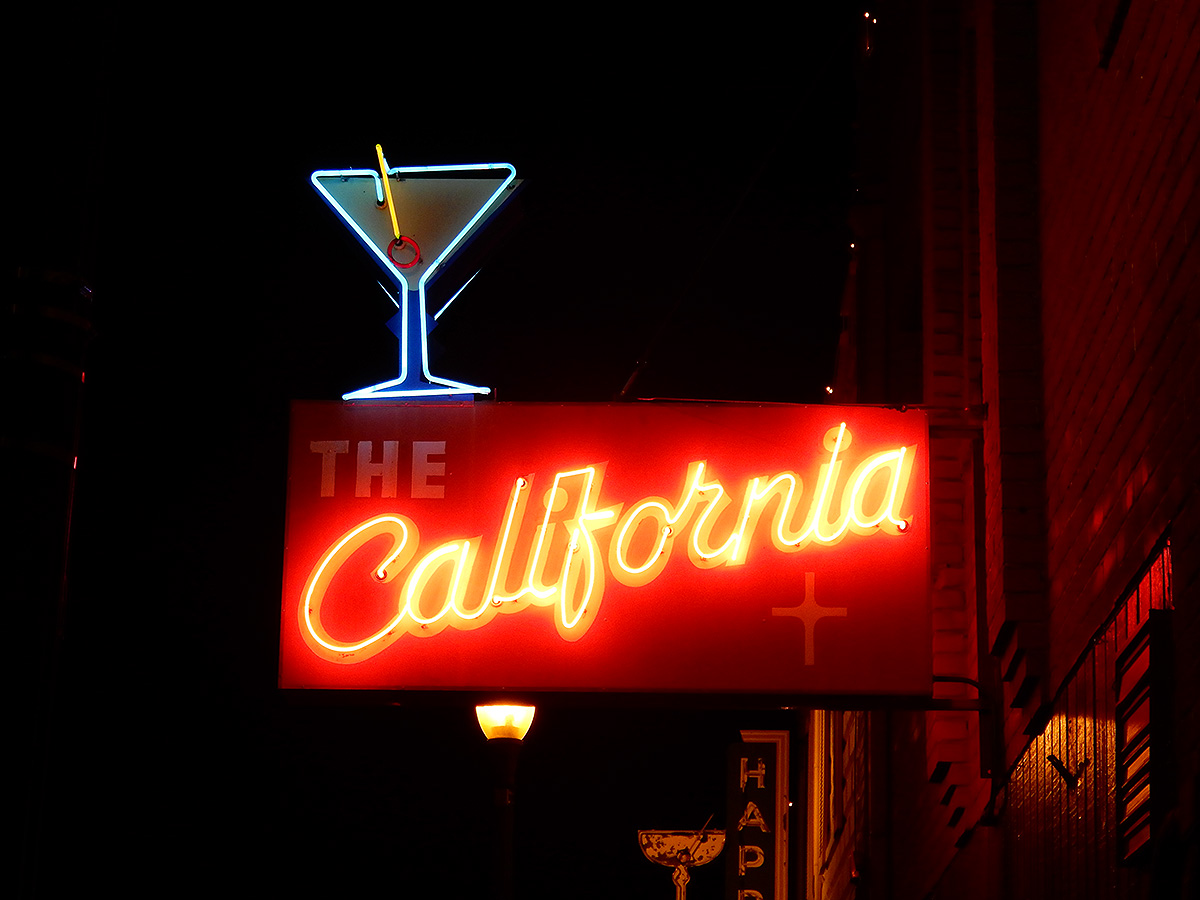
DSCN0211 webA bar sign in Auburn, California
IMG_1852 A webOn the east side of the Salton Sea, California, looking west
IMG_1856 webPelicans, Salton Sea
DSCN0223 webAn eastbound freight train crosses the Colorado River at Yuma, Arizona
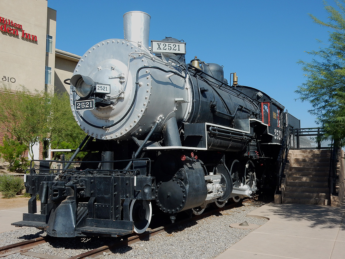
DSCN0224 webBalwin steam locomotive SP 2521 on display in Yuma.
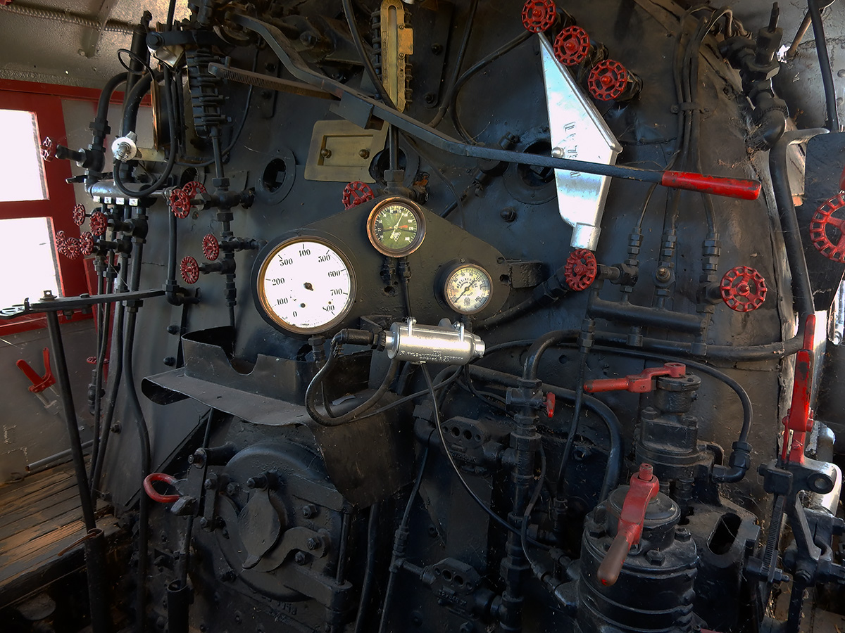
DSCN0227 webInside of the cab of SP 2521
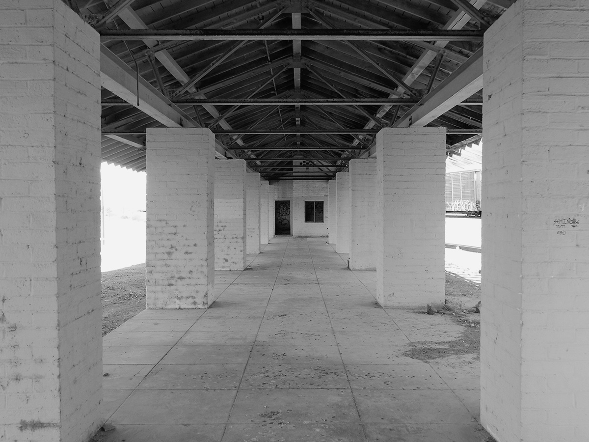
DSCN0218 bw webAbandoned train station, Fort Yuma-Quechan Indian Reservation, which straddles the California/Arizona state line at Yuma.
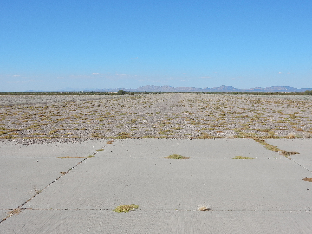
DSCN0233 webOne of the former runways of the WWII Army Air Corps training field Dateland Field, Dateland, Arizona
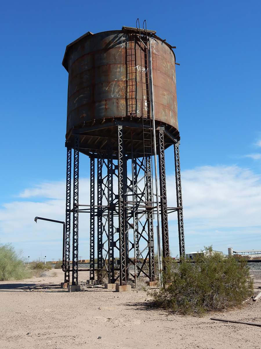
DSCN0231 webAbandoned water tower, used for steam locomotives along the former Southern Pacific Railroad line, just east of Dateland, Arizona
After years of planning and training, the time had come to tackle one the of peaks on my list – Tucson (City) High Point. After making sure I was provisioned, that my estate was in order, funds in place to cover the cost of a helicopter evac from the summit, and that I had cleared my browser history, I kissed my wife goodbye and set out for the far flung eastern corner of the Tucson corporate limits to make my ascent.
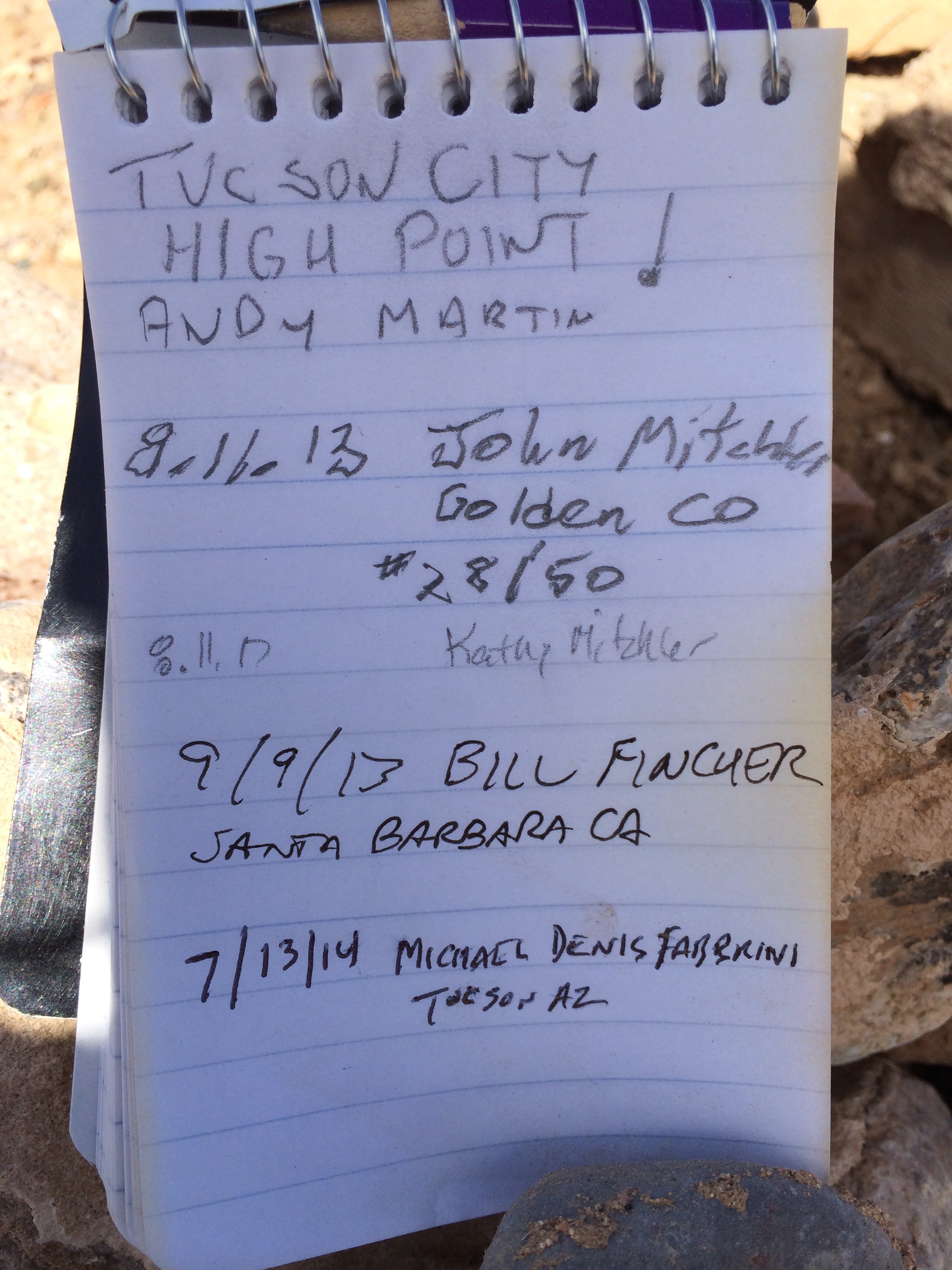
After parking the at the trailhead, the most daunting of obstacles presented itself – barbed wire fencing – damn! I’m in a good pair of jeans. Nonetheless, I was determined to forge ahead. Gently placing a hand upon the top strand, I pushed down and was able to get over without ripping new ventilation into my garments. Ahead I could see the summit. My goal was in sight. Putting one loafer encased foot after another, I deftly made my ascent in almost no time at all – about 1 second. After spending some time on the peak and logging in on the register, I made my way off the mountain to celebrate another peak bagged!
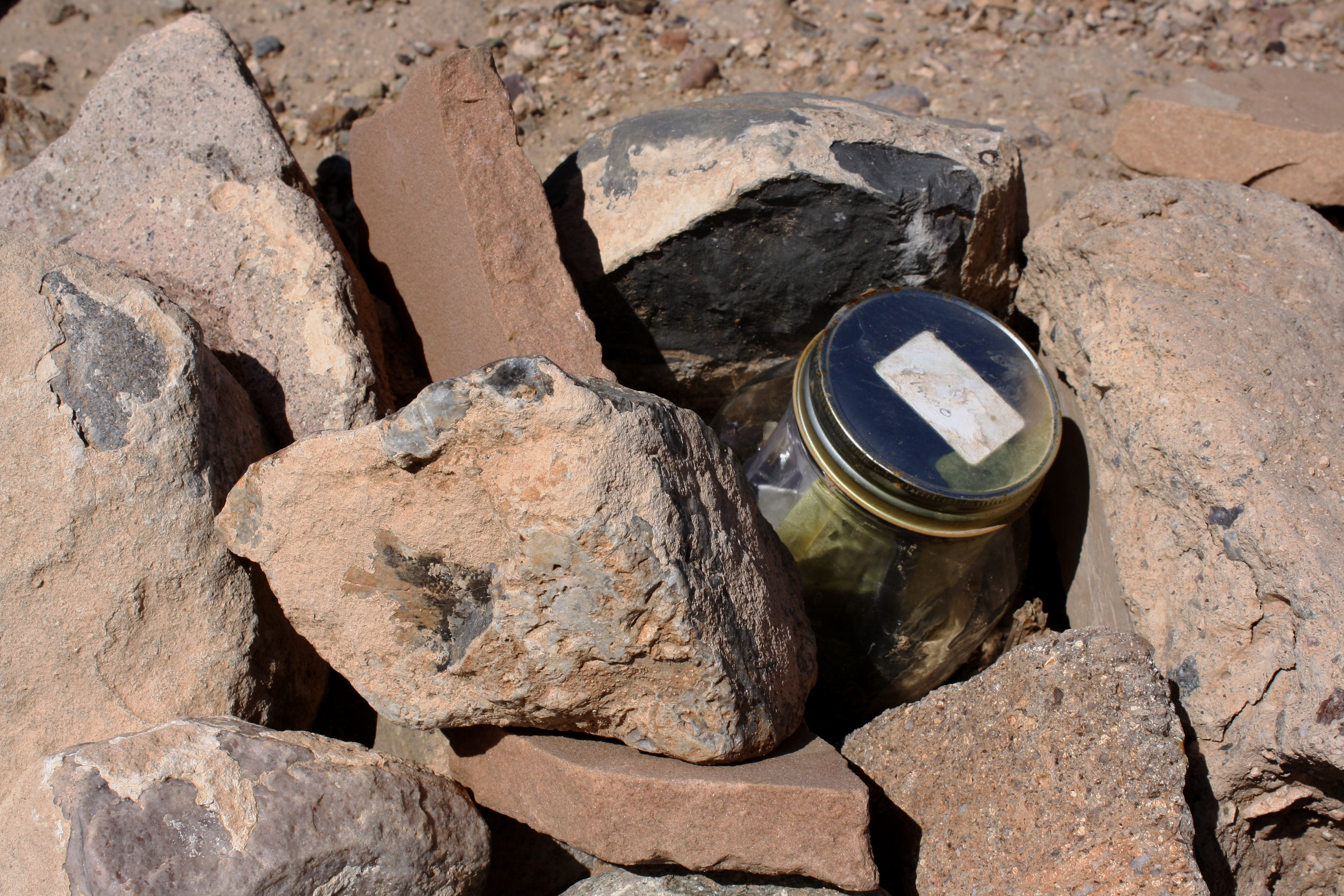
In all seriousness, this high point is listed on peakbagger.com, and is on the list of selected USA Selected City High Points. It is literally at the most far eastern corner of the Tucson corporate boundary. It is also a pimple on the surrounding desert. The high point is located at the northwest corner of the intersection of E Dawn Drive and E Shalom Dr in the Vail area.
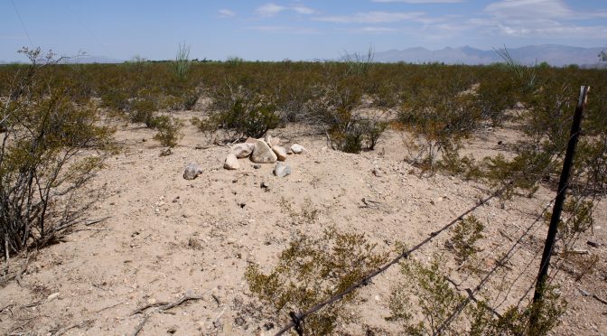
The cairn and jar where the summit register is located
Tucson High Point summit register
This trip report was originally published at HikeArizona.com
Random acts of thought, and useless pieces of information – et deinceps per nebula