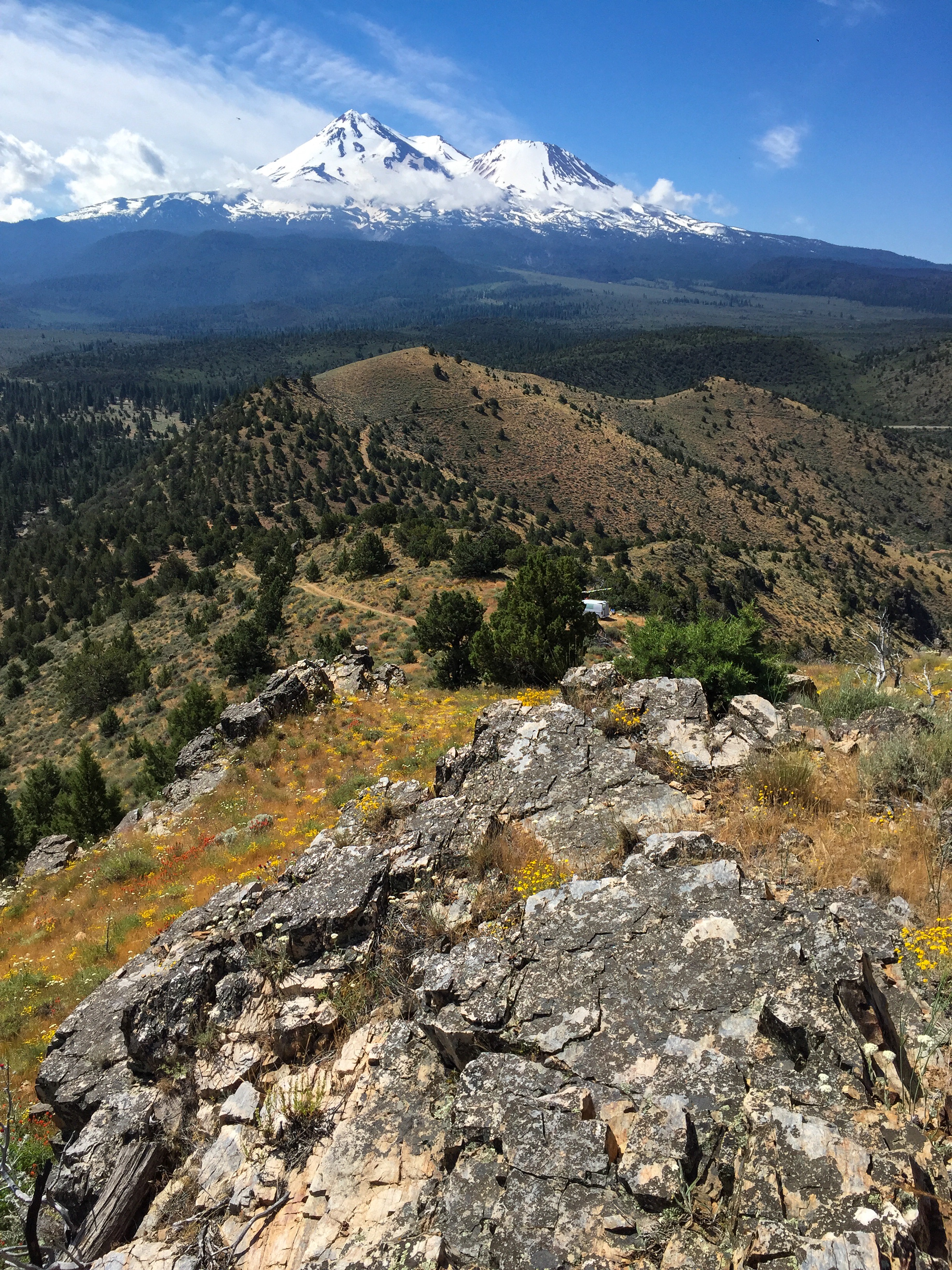
Looking south to Mount Shasta from the Yellow Butte high point. The middle and south peaks of the ridge line can be seen in the center.
Trip date: May 4, 2017
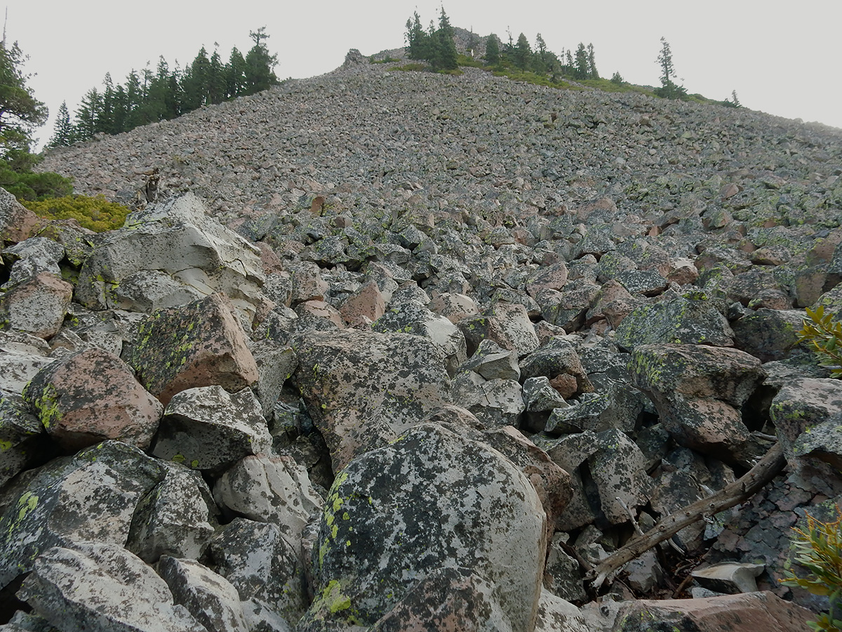
Yellow Butte is a hill on the north side of US Highway 97 about 12 miles northeast of Weed. Unlike other nearby peaks which are some kind of volcanic feature (dome, cinder cone or shield volcano), Yellow Butte is an uplifted complex of intrusive igneous and metamorphic rocks. This makes for some interesting quartzite outcrops on the top of the hill, and the unexpected diorite pluton along the first third of this route I hiked today.
Yellow Butte is actually more of a ridge, with three distinct peaks, the northernmost being the highest. The route I’ve seen described elsewhere is a 3 mile round trip starting inside a Forest Service gate alongside Highway 97 that traverses the west side of the hill. Because my available time was short, I chose a shorter route on the east side of the hill on Yellow Butte Road, a narrow, dusty two-track off of 97. This route proceeds up to saddle area between the middle and north peaks. Truth be told, both routes to the peak are old two tracks themselves – in fact, one could drive to the summit in a 4WD high clearance vehicle. But, as I got near the top, I encountered a guy camping in a beat-up, 30 year old, 2WD, low clearance Chevy van at the top – so don’t I guess I don’t know what I’m talking about.
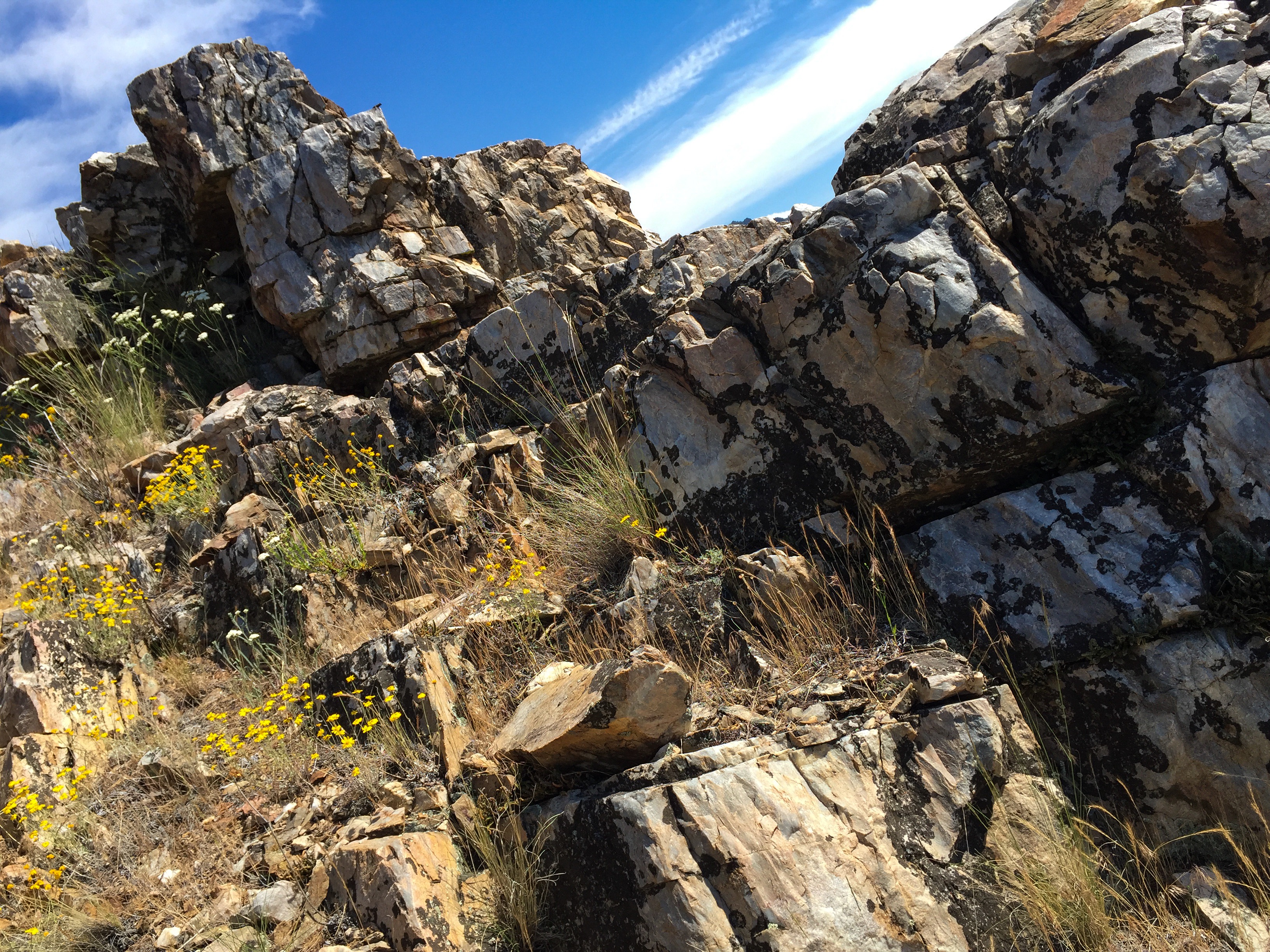
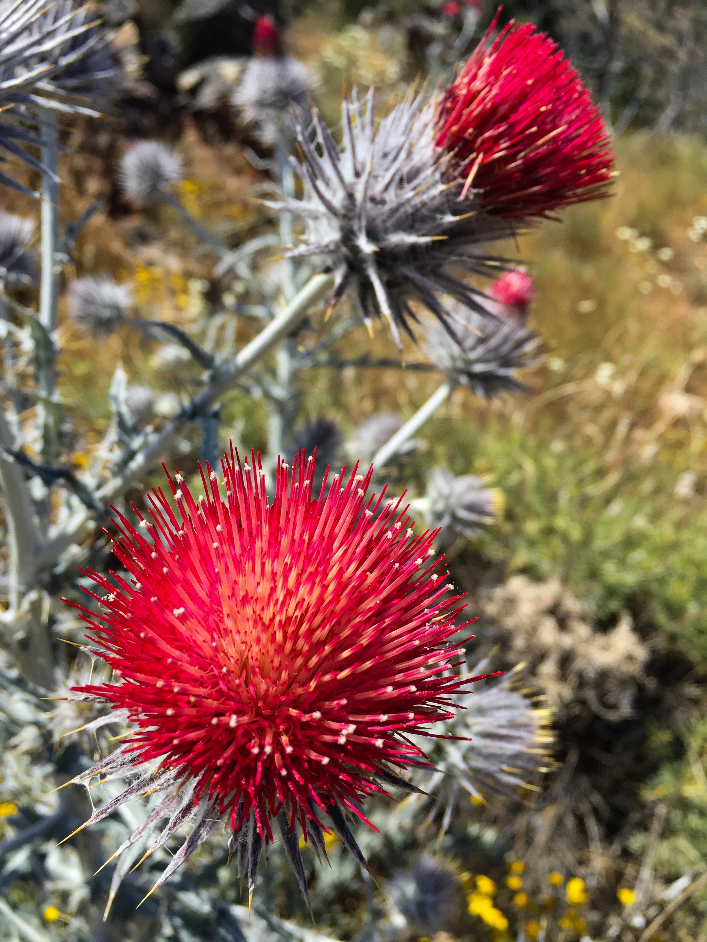
Summit area of Yellow Butte high point.Quartzite outcrop atop Yellow Butte.Looking west at Haystack (left) and cinder cone 3924 (right).Thistle along the trail.
I could not locate a survey triangulation mark indicated on some older topo maps. Neither could I find a summit log, so I left a new one behind.
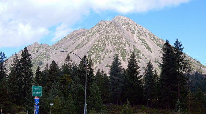
Black Butte is a dacite dome volcano that is just north of the city of Mount Shasta, sitting alongside Interstate 5. The summit tops out at 6,358 feet. Having been born in Mount Shasta and lived in Weed for the first five years of my life, and spending time over the years with various relatives still in the area (my parents moved back to area 10 years ago), I have always wanted to climb Black Butte. Frankly, I don’t know what took me so long.
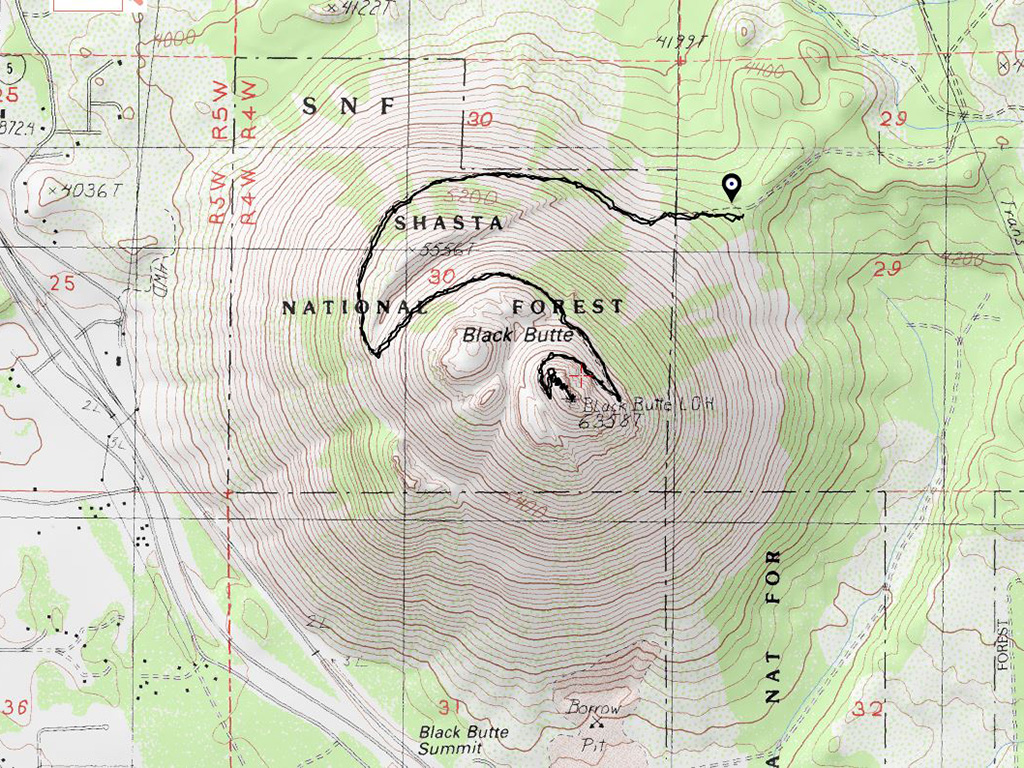
Topo map of Black Butte. As seen from the contours, Black Butte is a classic cone shaped volcano.
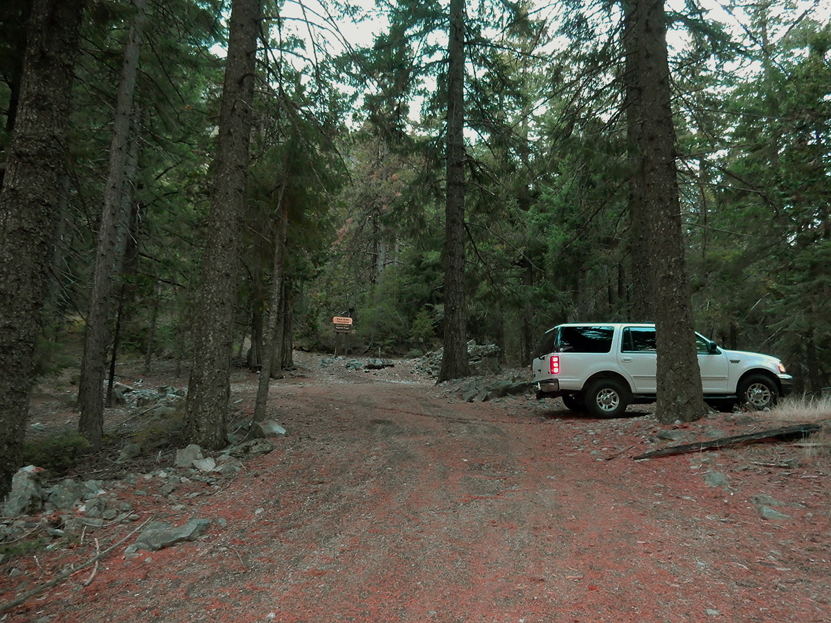
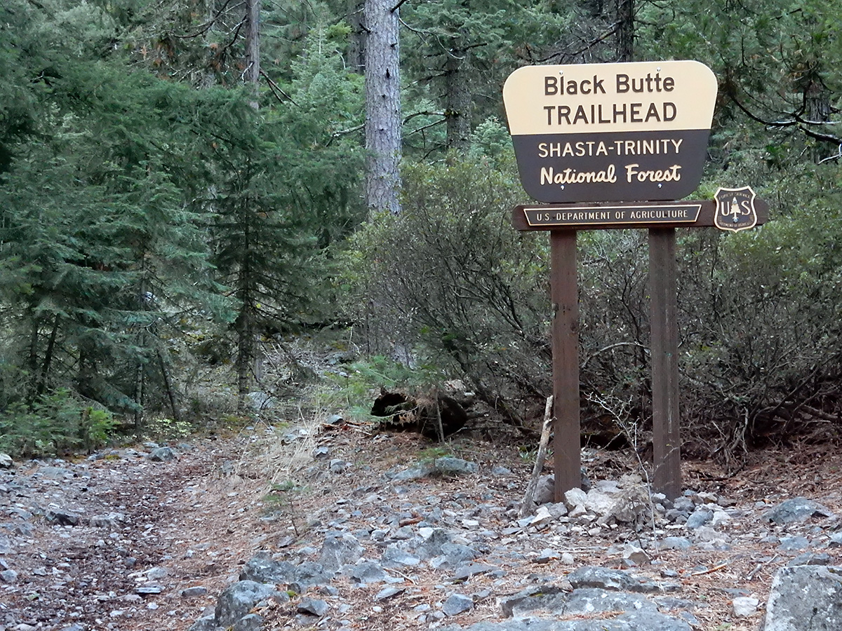
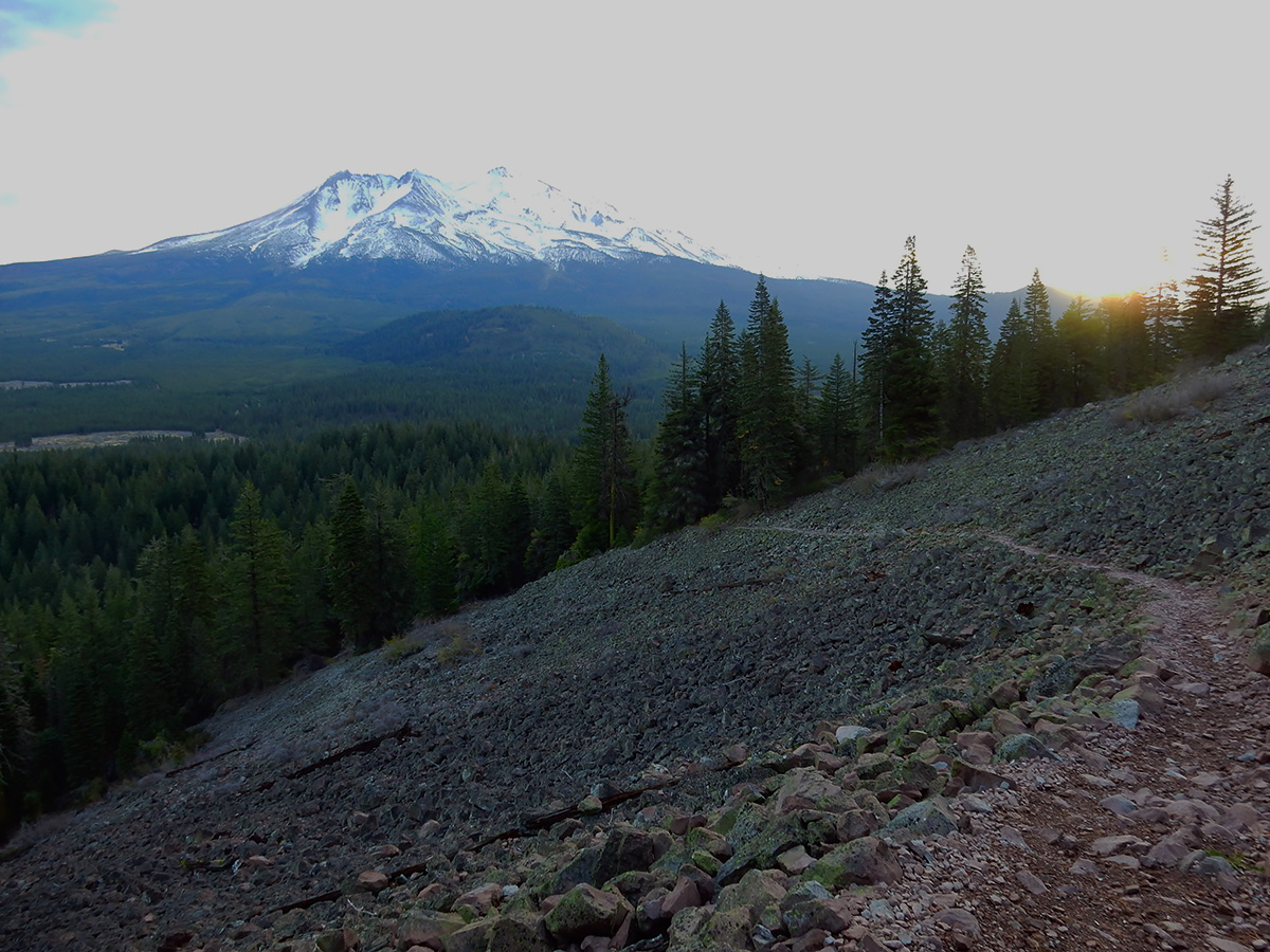
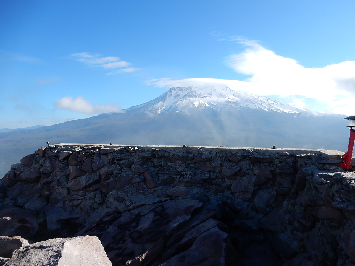
The trailhead is on the east side of the mountain. Driving north out Mount Shasta up the Everett Memorial you come to sign directing you west to the Black Butte trailhead. It’s a 3.3 mile drive on a decently maintained Forest Service road to the trailhead. I got there about 7:15 am. No one else there. It was 44 degrees outside, with a 10 mph gusts of wind. All in all, not a bad morning to make the hike. The first quarter mile of the hike is in trees, but when you pop out, and look up at the side of the mountain, it’s imposing. The slope is chunks of broken dacite, at a 45 degree angle. Basically you loop around the mountain counterclockwise from east to west side of the mountain, then the trail turns and goes back east until you come to a few little switchbacks near the top. A lot of the trail is scree, but you can move fast. Once you get near the top, it flattens out somewhat. The last 50 feet or so to the summit, where the foundation of the old fire lookout is, is a scramble. It was a bit windy on top, but still breathtaking. Mount Shasta looms to east and Mount Eddy to the west. It was cloudy and cold on top, so I didn’t linger too long. I couldn’t find a summit register, and I didn’t bring anything up to use as one.
DSCN0118 webTrailhead and parking.
DSCN0119 webThe trail starts out amongst tall pines and cedars.
DSCN0121 webAfter about a quarter mile, the trail breaks out of the trees and the scree mountainside is clearly visible.
DSCN0122 webLooking east at Mount Shasta.
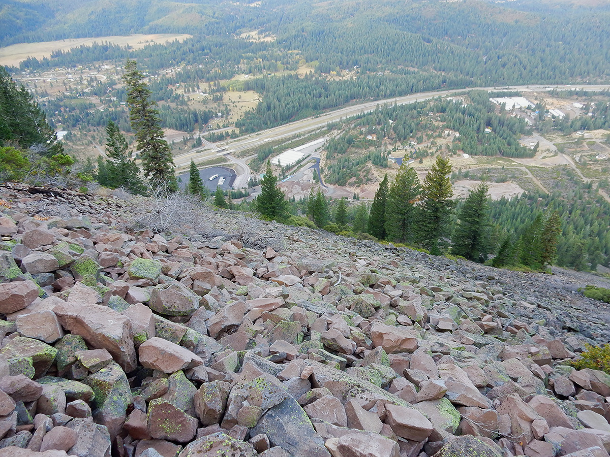
DSCN0126 webLooking down at Interstate 5 just south of Weed.
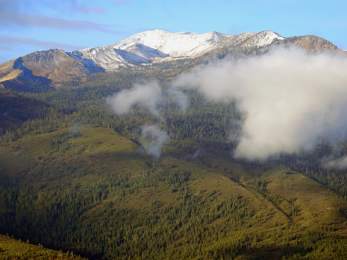
DSCN0127 webLooking east at Mount Eddy
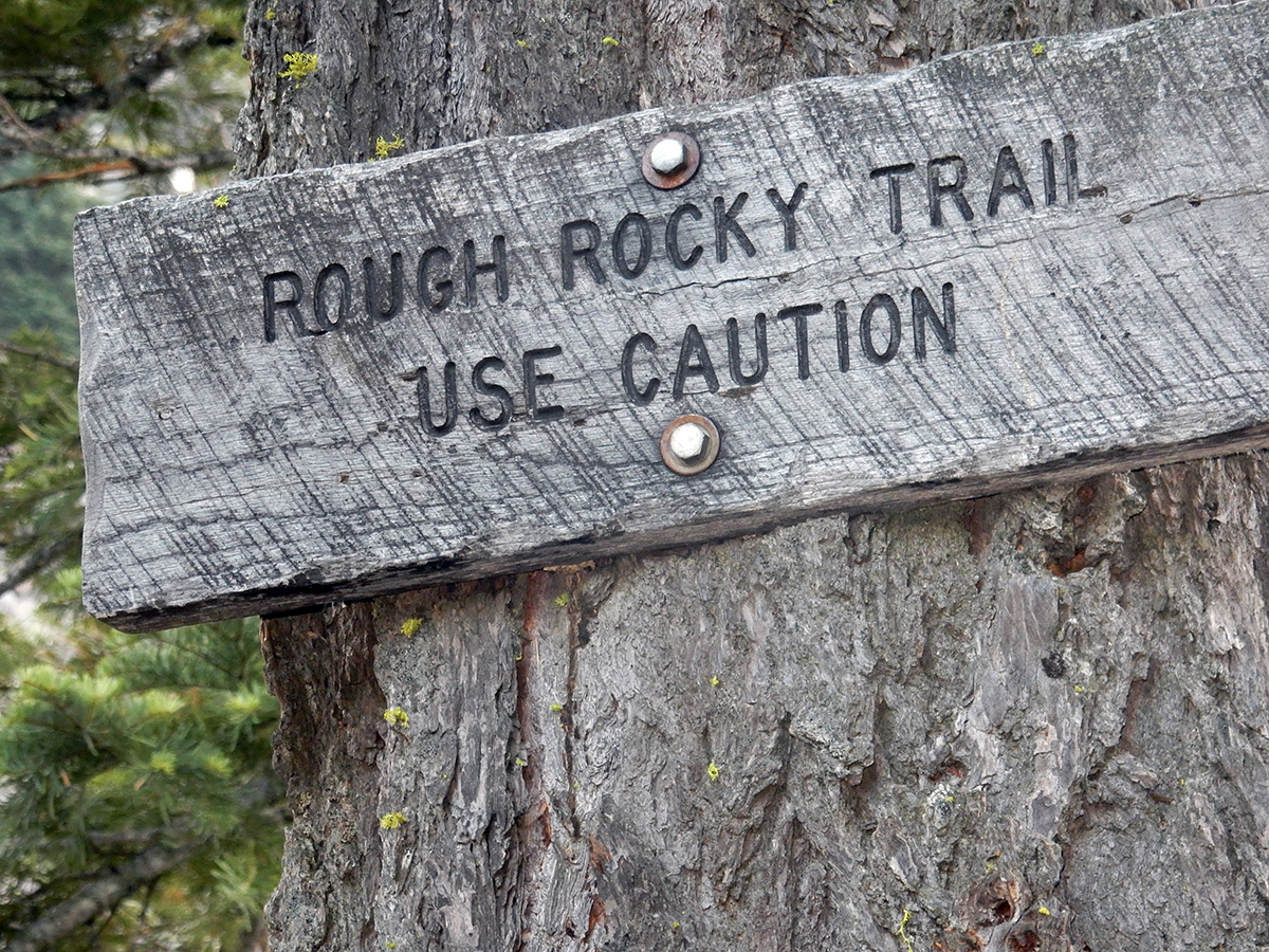
DSCN0128 webAbout half way up you encounter this sign. Duh!
DSCN0132 webBlack Butte is formed by a series of dacite eruptions, which push below the older plugs, breaking through them, and pushing them aside. As you get nearer the top, you are climbing a younger event. The wall of rocks in this photo is the remains of an older eruption.
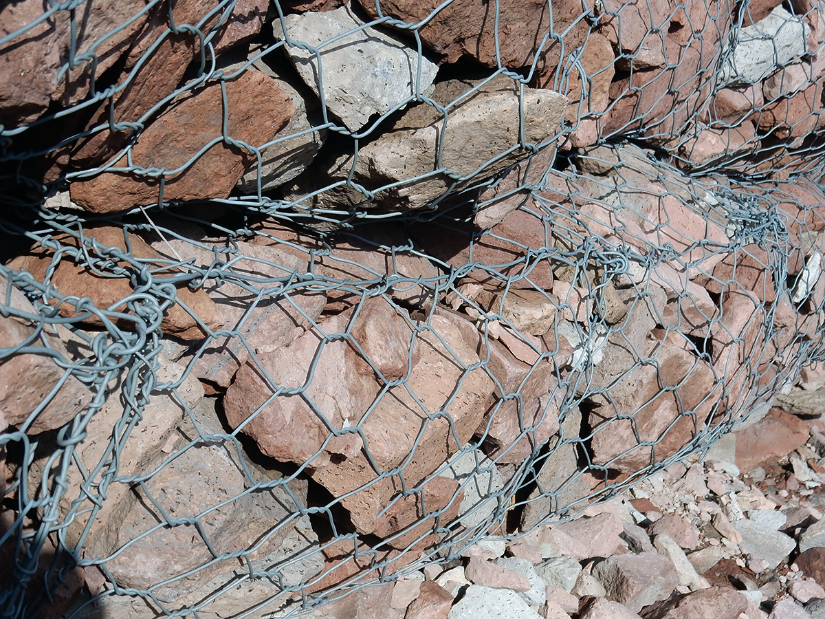
DSCN0134 webWire mesh screen to hold back a rockfall along the trail.
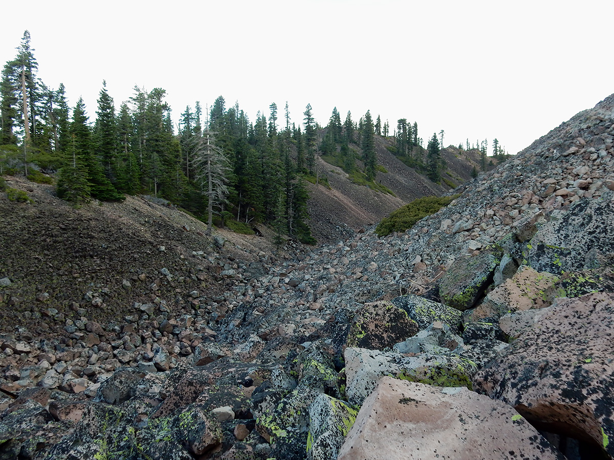
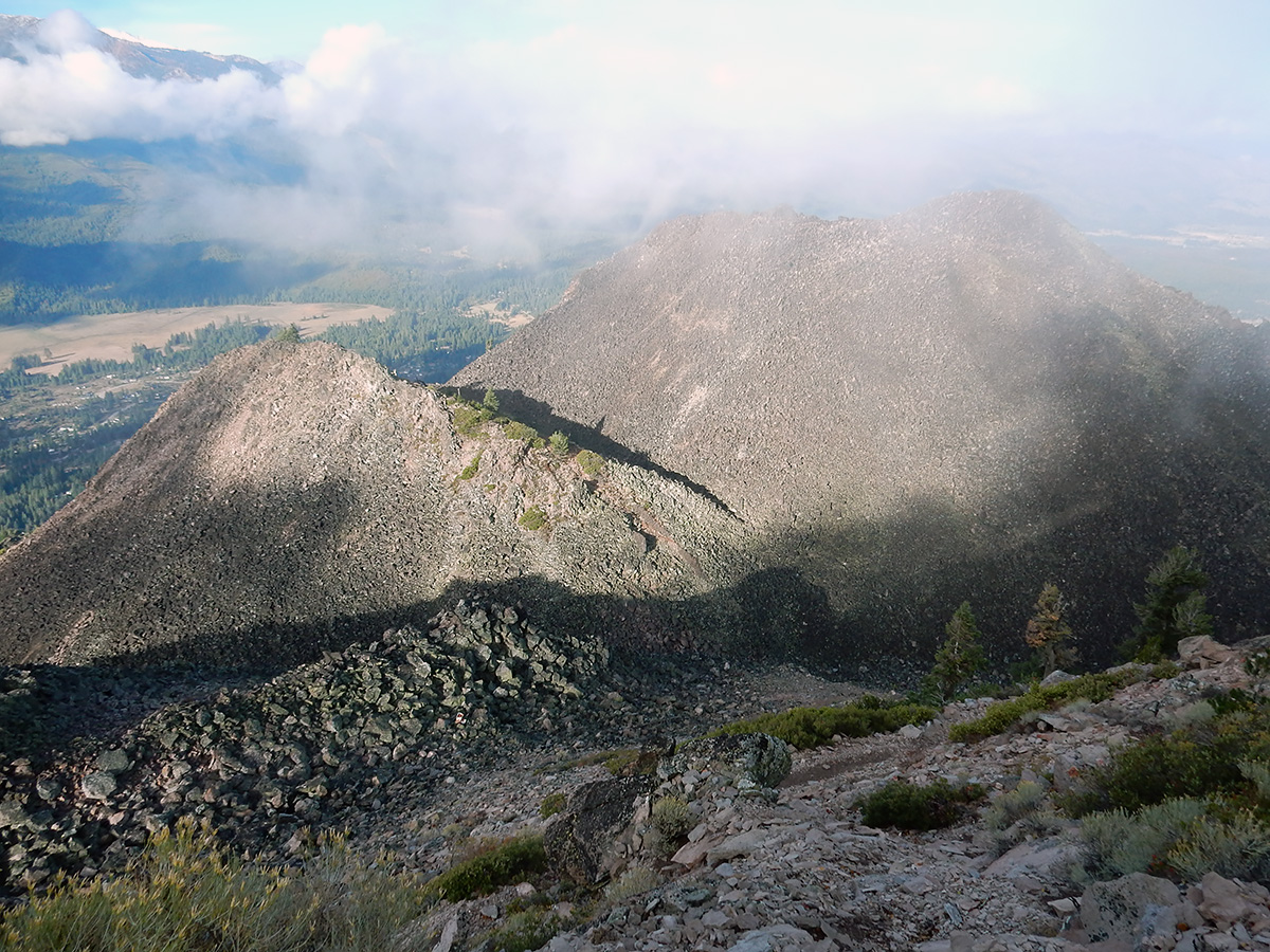
DSCN0140 webLooking down on lower peaks formed by older eruptive events.
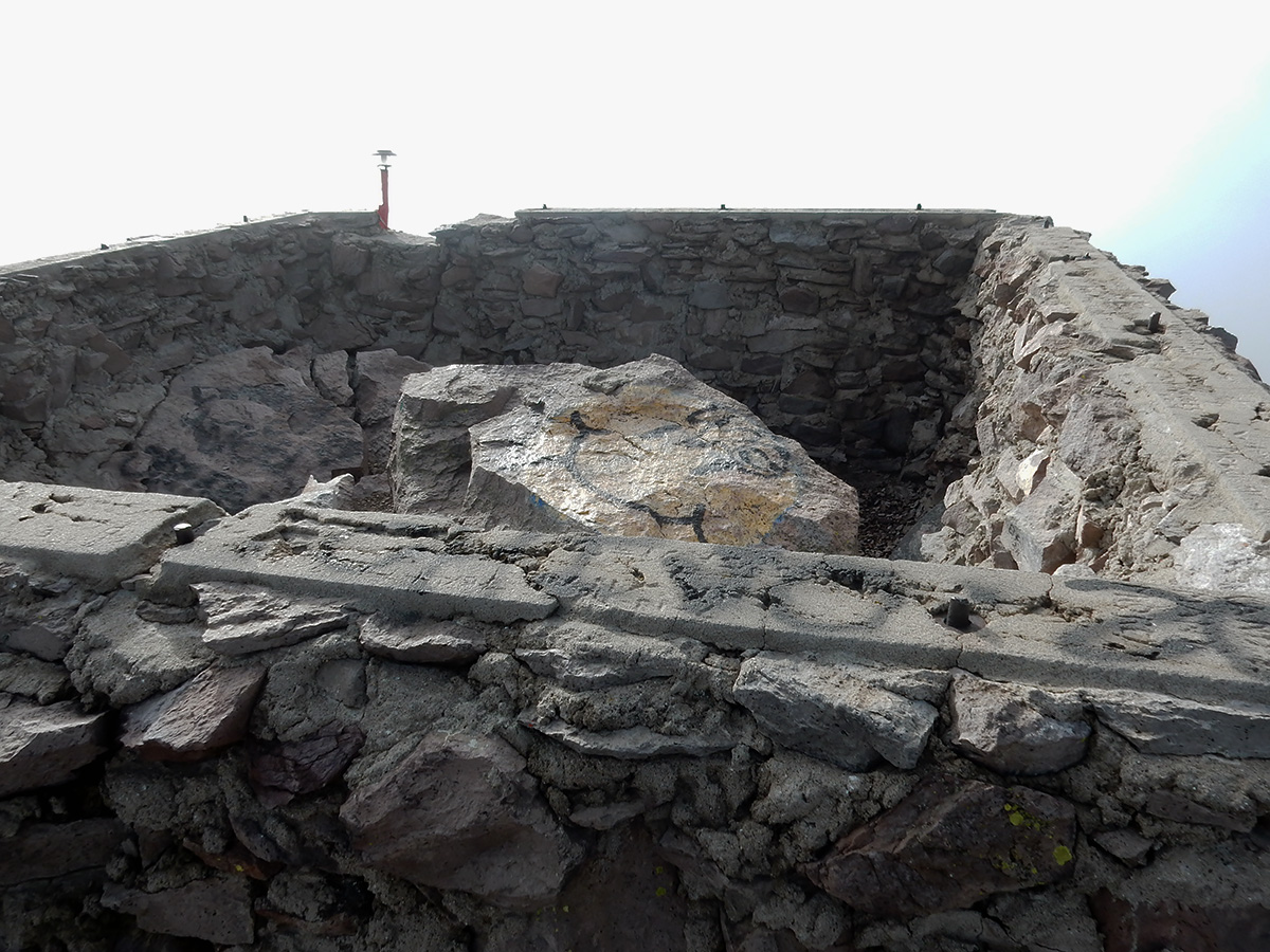
DSCN0141 webThe foundation of the Forest Service fire lookout tower that once stood on the summit.
DSCN0145 webMount Shasta from the top of Black Butte.
DSCN0160 webLooking upslope towards the summit. The slop must approach 50 degrees.
I made the trip up in 2 hours, and back done in 1 1/2. My elevation gain going up was 1,807 feet. I met a lone hiker on the way down, but that was it for human contact.
Geology facts:Dacite is a gooey form of lava that generally flows very slowly.
The word dacite comes from Dacia, a province of the Roman Empire which lay between the Danube River and Carpathian Mountains (now modern Romania and Moldova) where the rock was first described. Lassen Peak is made of dacite, and is one of the largest plug domes in the world. The famous plug of Mount Saint Helens is also dacite, as are most of the lavas of Kīlauea.