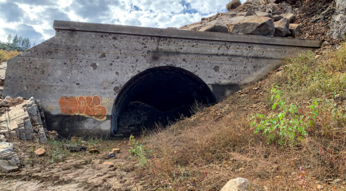
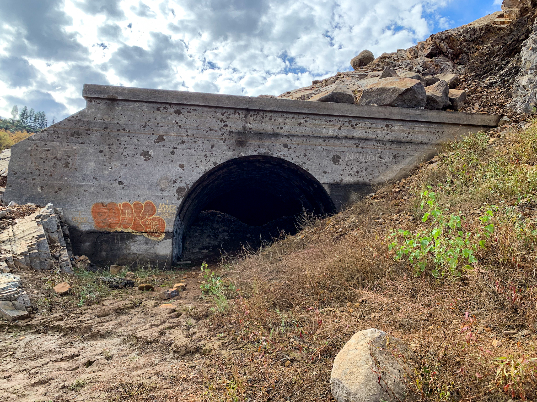
New blog post: Lake Shasta Artifacts, 9 December 2021. A visit to a segment of historical US 99 left high and dry by the receding waters of Lake Shasta, as well as a railroad tunnel that is also accessible.
Update to the Union Pacific Railroad: Black Butte Subdivision page in the Abandoned Railroad Infrastructure section. I’ve identified a number of straightened curves between Dunsmuir and the Black Butte siding that I’m checking out.
Some months back blog posts by Tom Fearer at Gribblenation.org regarding local roads in my area ended up leading me down the proverbial wormhole for more information. I have to say the trip was rewarding. While not answering all my questions about the original subjects – Siskiyou County Road A12 and the first routing of US Route 99 through Weed, California – the search for information resulted in answering a few questions about previous railroads in the area (the Weed Lumber Railroad/Southern Pacific Railroad) and the locations of the first Weed Airport and the long-gone Yreka Airport.
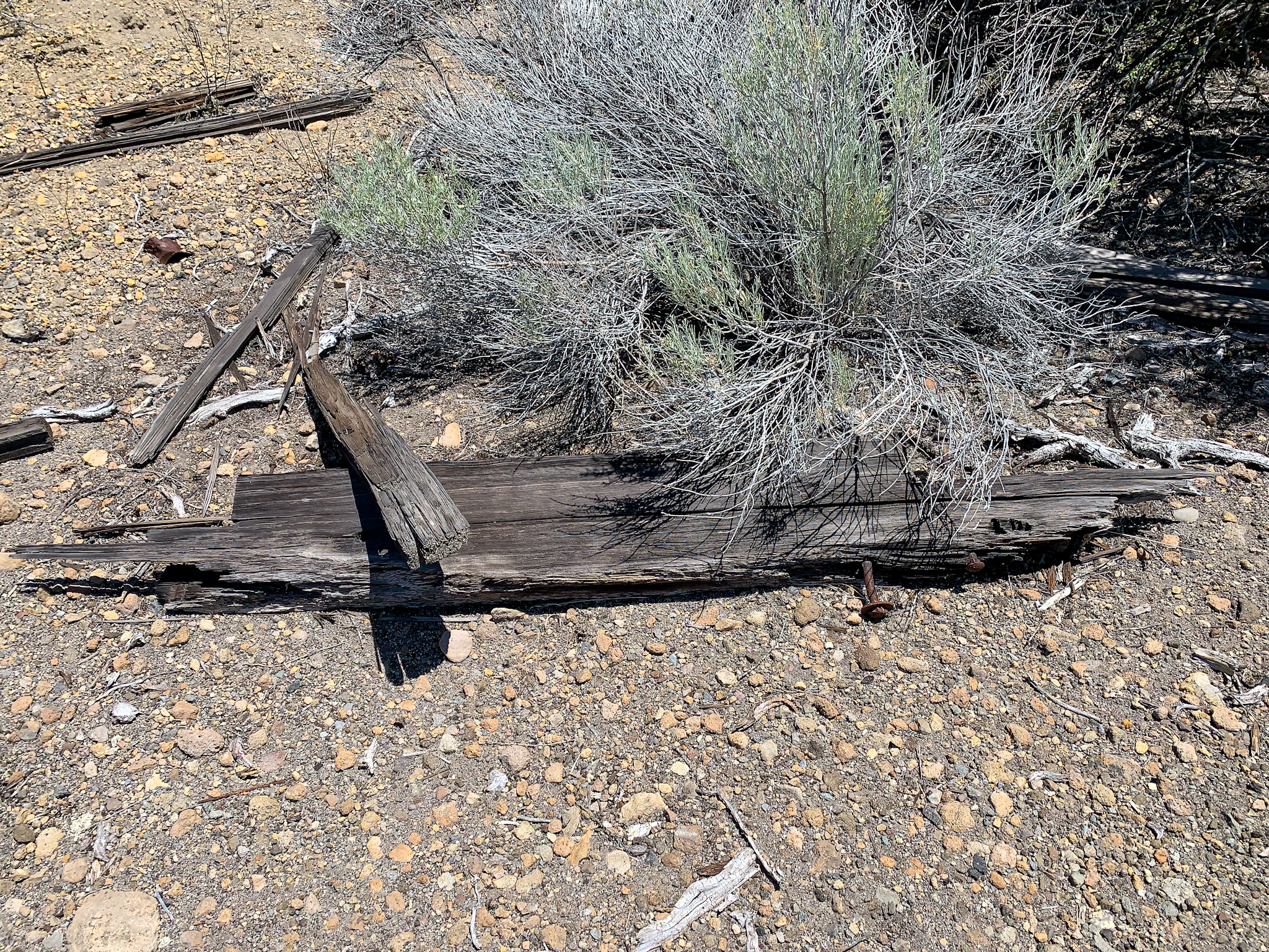
A recent exploration of a segment of the abandoned Weed Lumber Company Railroad yielded clues to the original routing of US 97 northeast of Weed, California. These are remnants of wooden highway guardrails prevalent in the late 1920’s and early 1930’s.
Most of the research involved internet searches for historical maps between the years of 1915 and 1945. While my search started with historical topographic maps at the USGS website, other map sites included the David Rumsey Map Collection, aeronautical charts and airway bulletins at the Library of Congress, as well as posts and articles at Gribblenation and cahighways.org. While my research continues, enough information was accumulated to post a worthy entry about the Yreka Airport on the Siskiyou County Aviation Infrastructure page of this site.
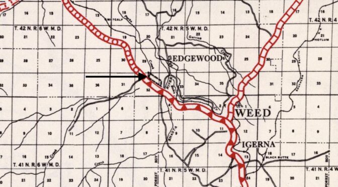
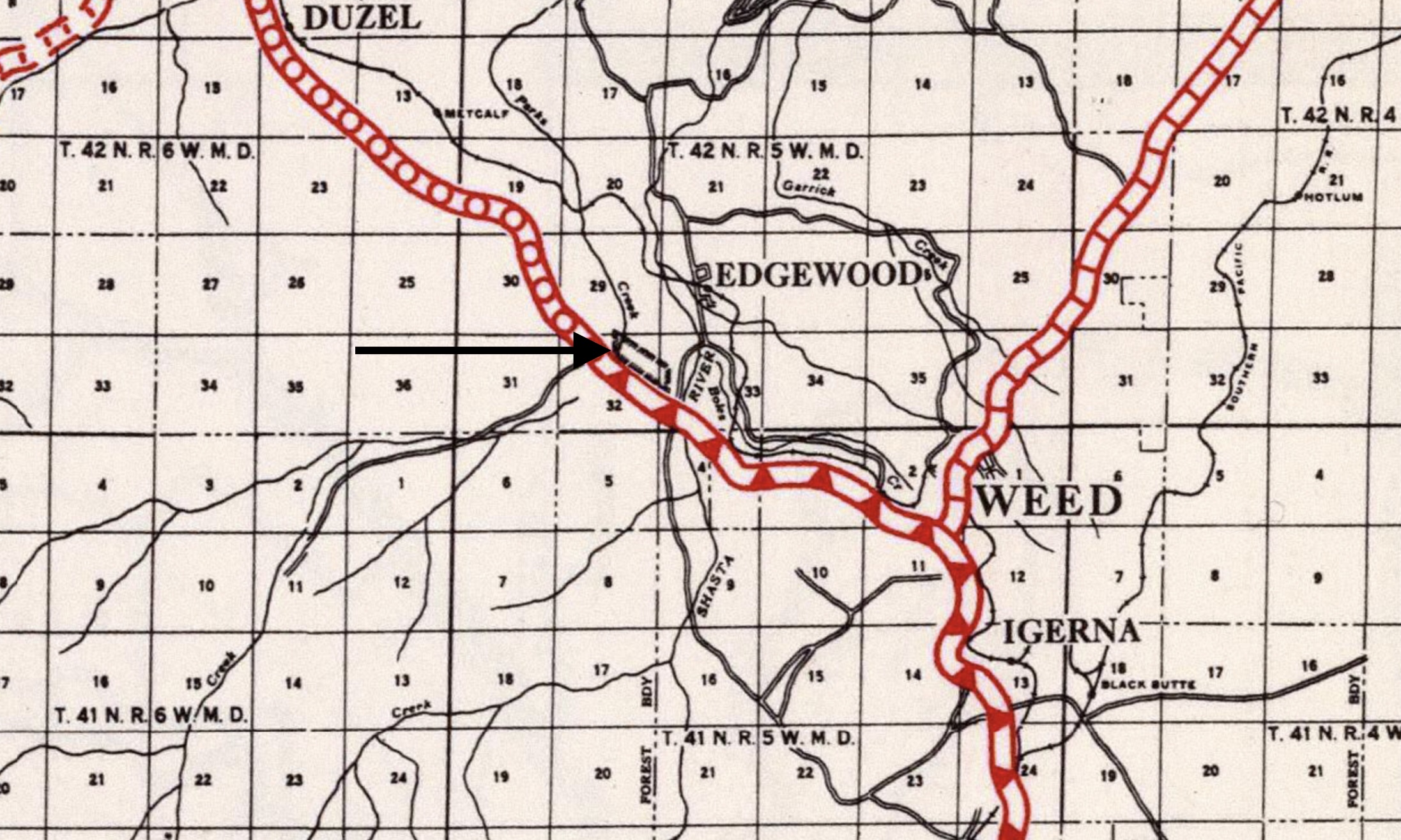
Within the next week, I will also post an entry on the aforementioned page about the original Weed Airport. I had first seen a mention of this airport in the September 1, 1931 Airway Bulletin No. 2. The 1927 (revised 1930) Army Air Corps Air Navigation Map indicates an approximate location of the former airfield, but it was the 1935 California Division of Highways Siskiyou County Highway Map that really helped in nailing down the exact location in a ranch pasture along Old Highway 99/Stewart Springs Road a mile south of the current Weed Airport.
1935 California Division of Highways Siskiyou County Highway Map, with arrow pointing to the rectangle representing the Weed Airport.
The lesson is that it is the journey through the wormhole can be just as rewarding as the destination. Being mindful that seemingly unrelated resources can result in clues to other research projects should always be kept in mind. The only problem is that usually leads one down other, numerous wormholes!
Eloise and I hit the open road to see family in Mount Shasta and Sacramento, California. In those 11 days, we drove 2,444.2 miles, with stops in:
Casa Grande, Arizona
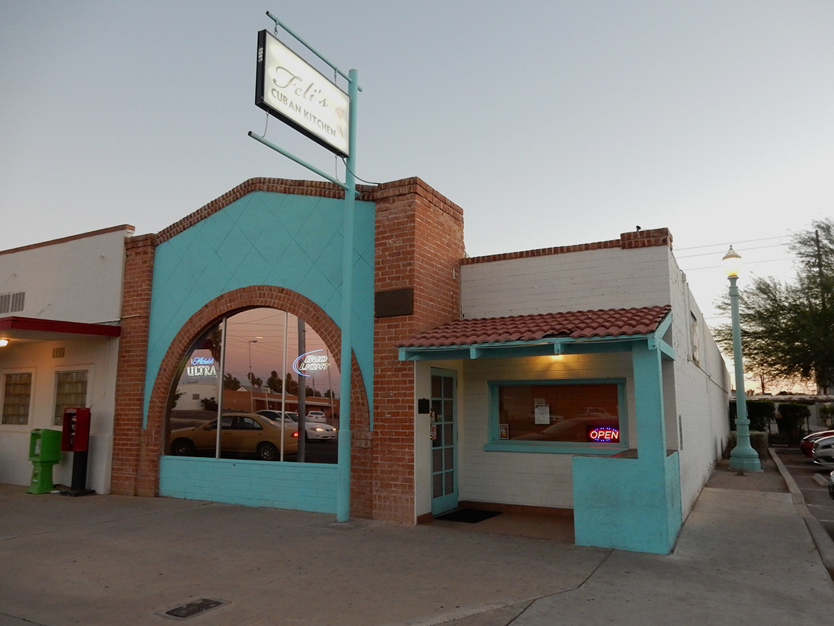
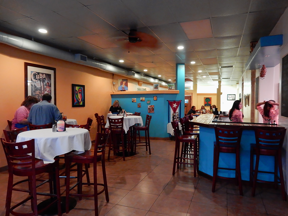
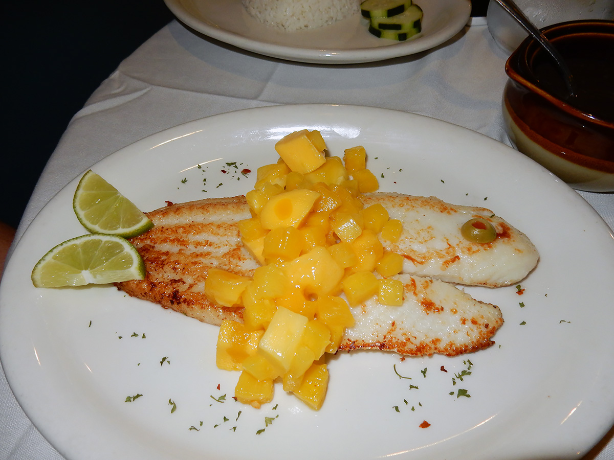
We started the trip out with a delightful meal at the highly rated Feli’s Cuban Kitchen in Casa Grande. Eloise’s dinner was especially tasteful and artfully presented (flounder with mango and pineapple)
Palm Desert, California
Merced, California
Weed/Mount Shasta, California (3 nights)
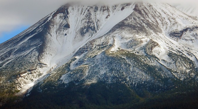
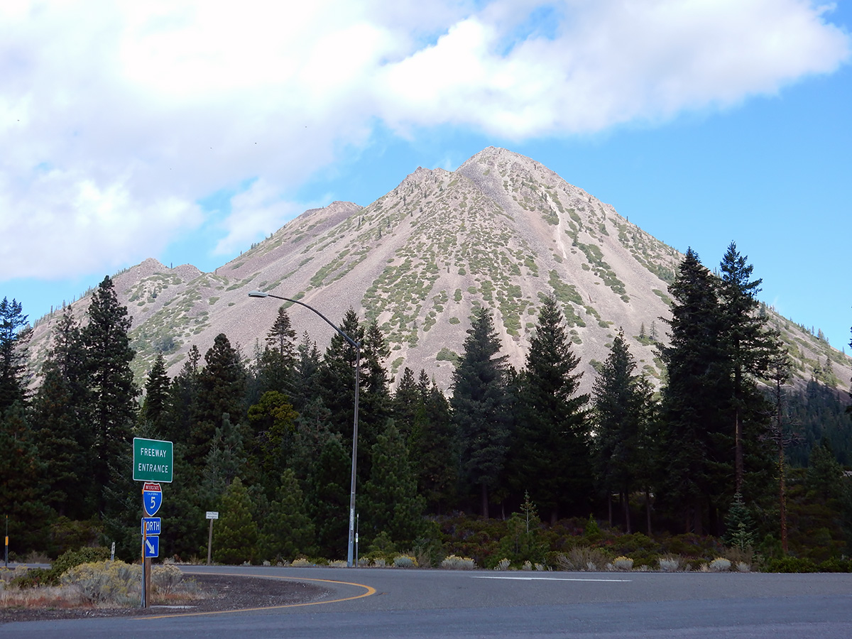
I hiked to the top of Black Butte, an extinct dacite dome volcano just north of the City of Mount Shasta on the east side of Interstate 5. A trip report and photoset for the hike is posted on this site, as well as at hikearizona.com
We had dinner with our son and one of Eloise’s brothers at a wonderful restaurant in Auburn, California, Carpe Vino. Among us we had fresh popcorn in melted black truffle butter, muscovy duck breast (farro, butternut squash, purslane, seared onion, huckleberry), niman ranch bistro filet (chanterelles, pole beans, fingerling potato, black garlic soubise), and skuna bay salmon (sunchokes, fuji apple, brussels sprouts, dill, apple must brown butter). For dessert, 3 out of 4 of us had chocolate profiteroles, which were walnut ice cream balls wrapped in caramel and walnut streusel. Simply unbelievable. The service was outstanding.
I bagged a couple of highpoints in the area: Carpenter Hill, which is the Sacramento County highpoint, and a small hill in neighboring El Dorado Hills, Peak 1161. Click on the names to go to trip reports at hikearizona.com
Monrovia, California
Nectar of the gods
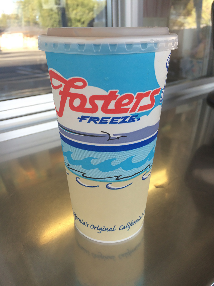
The drive from Folsom to Monrovia included a stop in Atwater at the Foster’s Freeze. Those of you unfamiliar with California drive-in cuisine, Foster’s is a DQ-like chain. I had been saving my calorie budget for an extra larger chocolate malt, with extra malt. Later I found out that this Foster’s Freeze was featured in Pulp Fiction(which I have not seen), where apparently Bruce Willis runs Ving Rhames over in the parking lot.
Yuma, Arizona
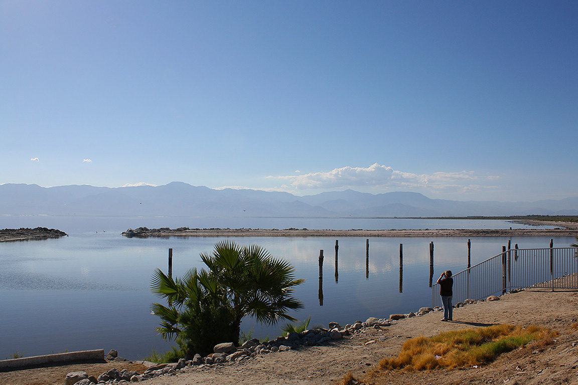
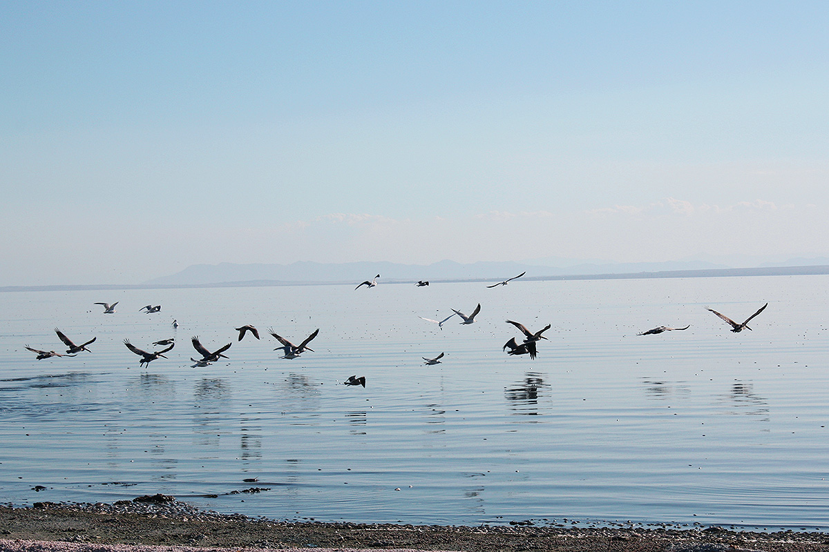
An easy day’s drive with a couple of stops along the Salton Sea, where we had never been. It’s an impressive body of water, dramatic with it’s sea to desert interface. I would consider camping here sometime during the offseason – none of the campgrounds along any campers in them, save one or two here or there. Solitude abounded. We stopped at the North Shore Beach & Yacht Club along State Route 111, a county recreation facility that once was a marina and resort for Hollywood types. There we watched pelicans, egrets and other birds, while enjoying the pleasant autumn sun and sound o the water lapping the shore.
I spent a couple hours of the morning before we drove to Tucson exploring Yuma and taking pictures of trains crossing the Colorado River next to Interstate 8. We hit the road about noon, stopping in Dateland to buy dates. I’ve always been fascinated by abandoned places, especially abandoned airfields, so I remembered that there were several old WWII training fields in the area. One was back west a couple of miles on the south side of the interstate. So we headed there, and as we crossed the adjacent railroad tracks, we came across signs proclaiming “Barry M Goldwater Firing Range : Do Not Enter : Live Fire Range, yada, yada, yada”. I pondered ignoring the sign for a few moments, I mean the airfield was just another quarter mile down the road, and not an A-10 or F-35 to be seen. Well, wisdom prevailed, and I turned around – only to see a Border Patrol agent coming from the direction of the airfield 30 seconds later. An encounter with any federal agent would not have been good. But that’s ok, because just on the other side of Interstate 8 is Dateland Field, another abandoned WWII training field, so I was able to stop there. Passing Gila Bend, I got a good look at the Sand Tank Mountains, part of the Sonora Desert National Monument. It looks like a fascinating area to explore, and I’ve put it on my bucket list. There’s a great series of trip reports about this area by Desert Mountaineer.
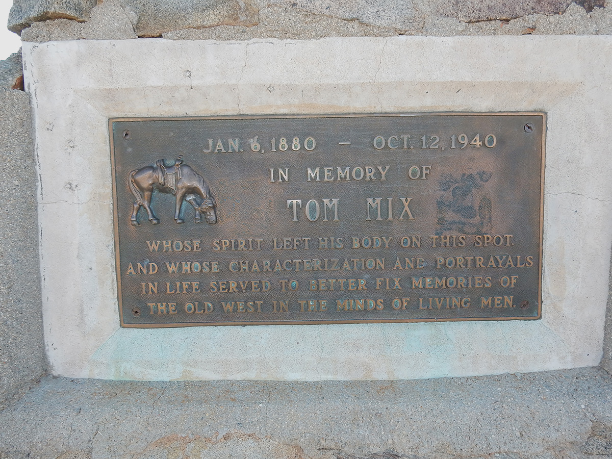
DSCN0042 webThe Tom Mix Memorial on Arizona State Route 79 north of Oracle Junction
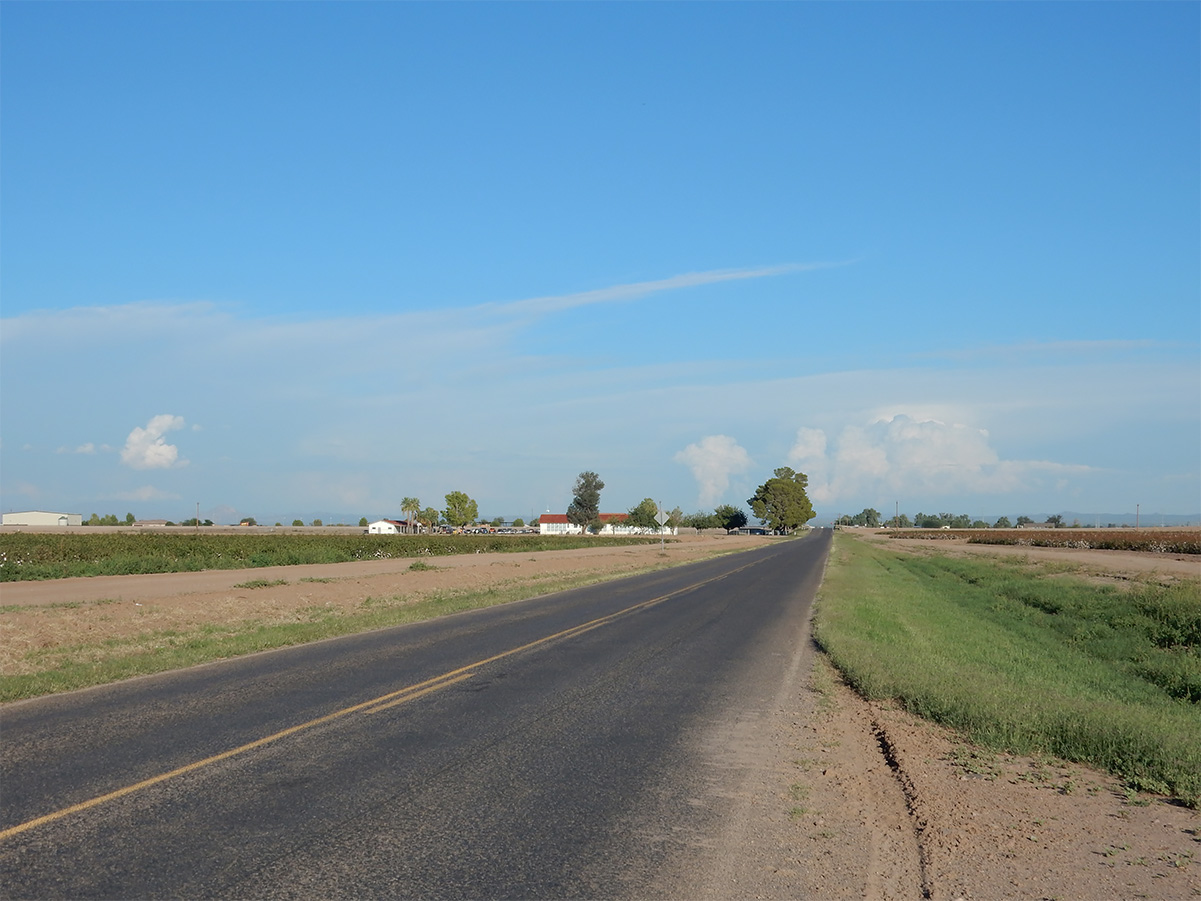
DSCN0049 webFarmland near Florence, Arizona
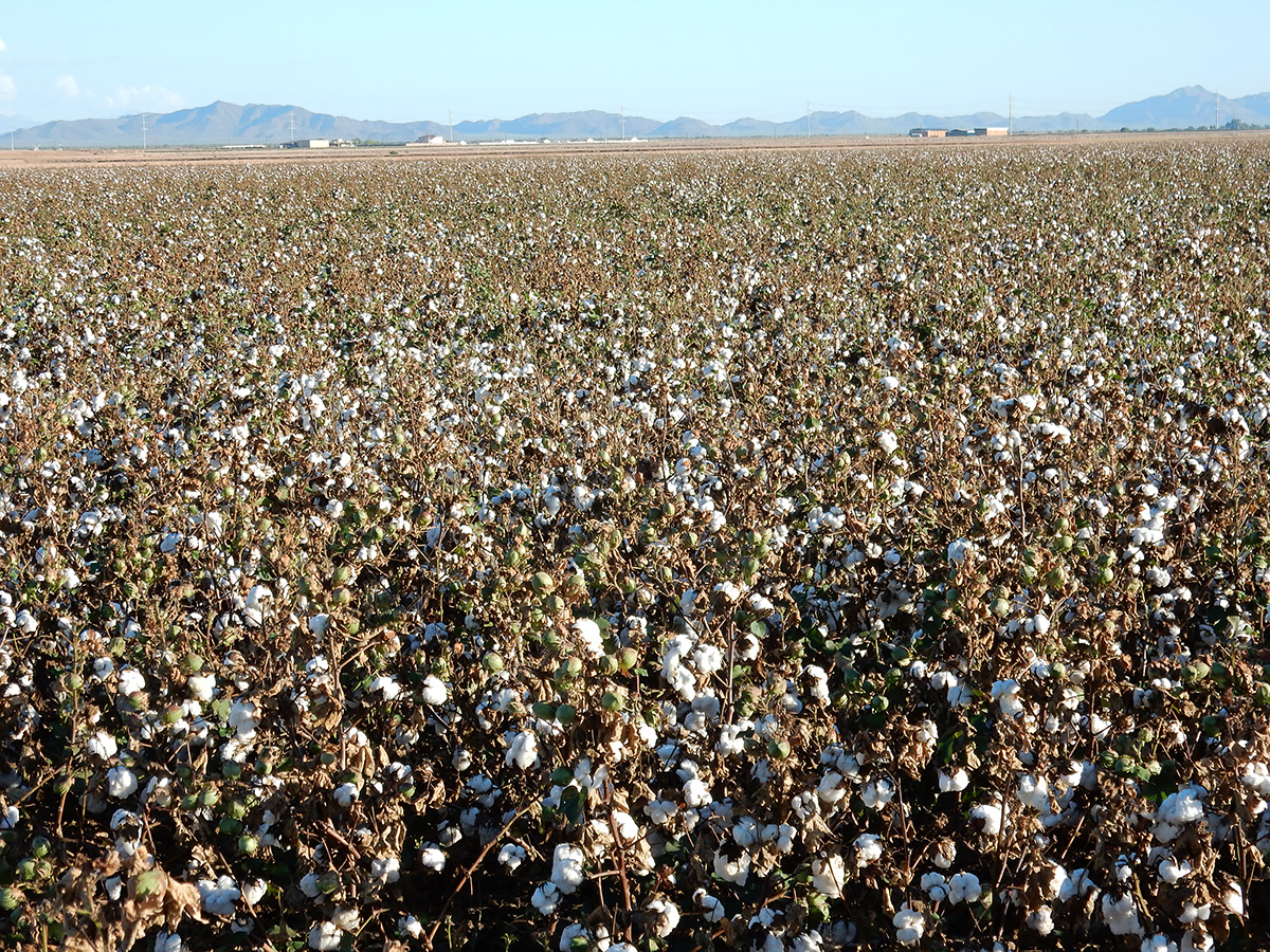
DSCN0046 webCotton fields, Florence, Arizona
DSCN0050 webFeli's Cuban Kitchen, Casa Grande, Arizona
DSCN0052 webFeli's Cuban Kitchen
DSCN0057 webFlounder with mango and pineapple, Feli's Cuban Kitchen
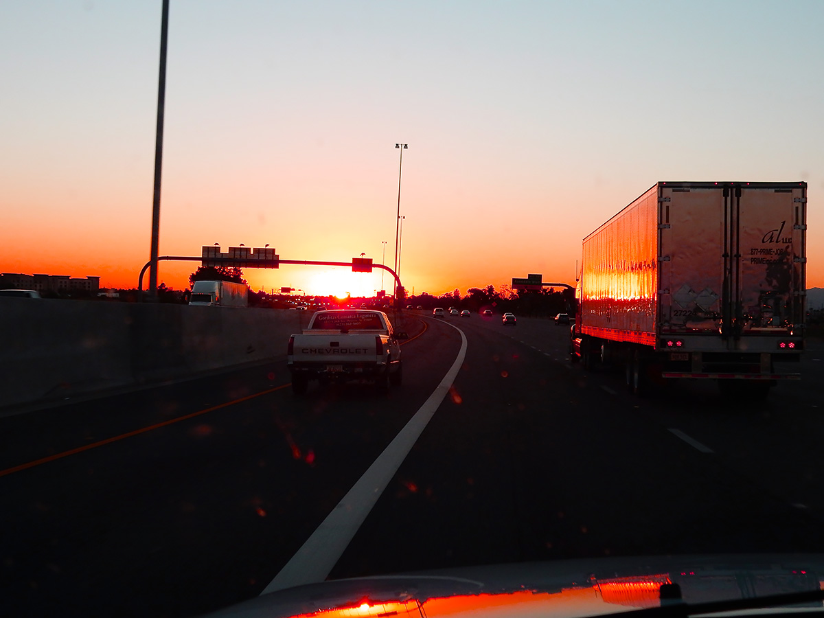
DSCN0064 webHeading west out of the Phoenix metroplex at sunset
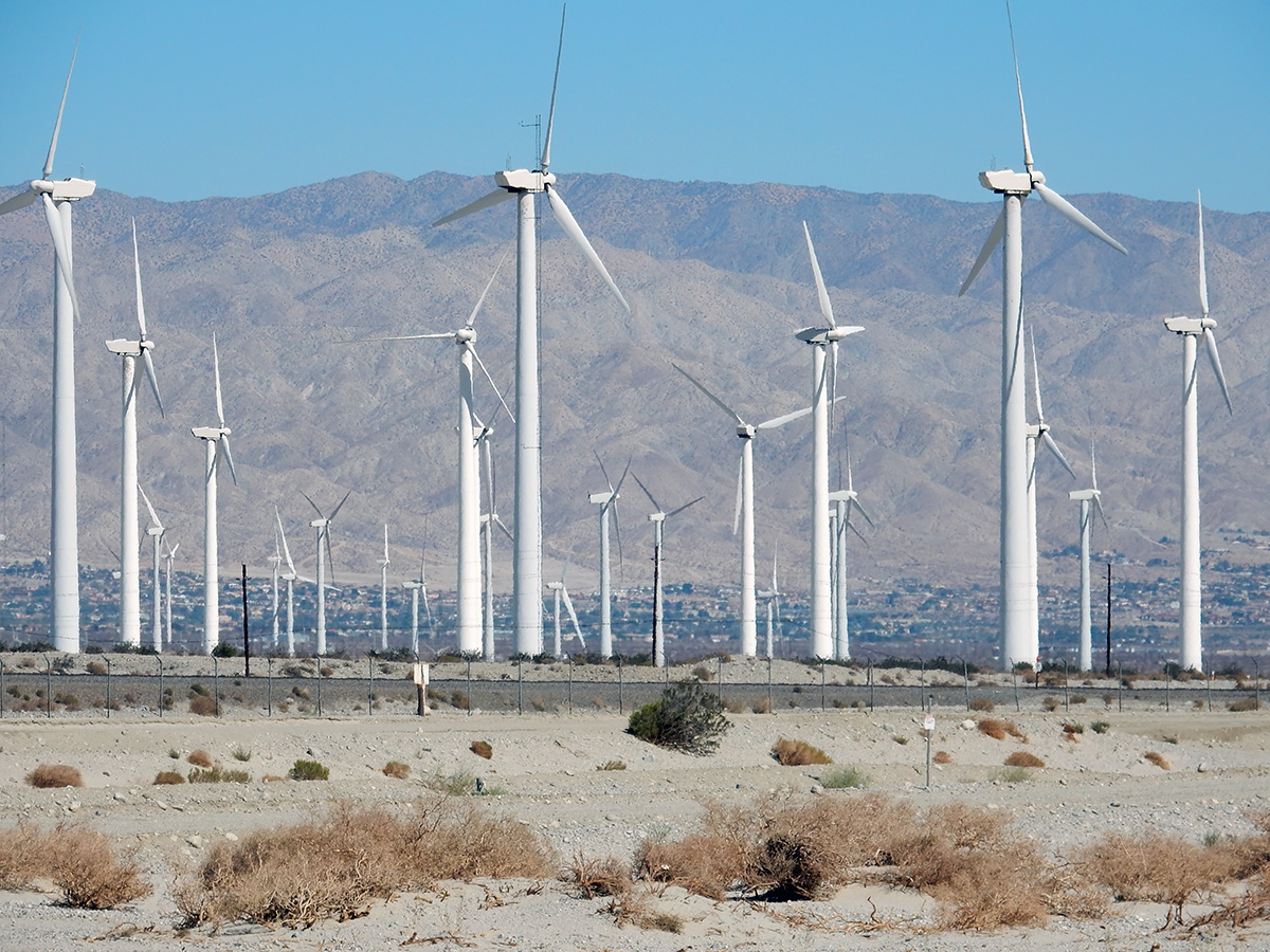
DSCN0070 webWind turbines outside of Palm Springs, California
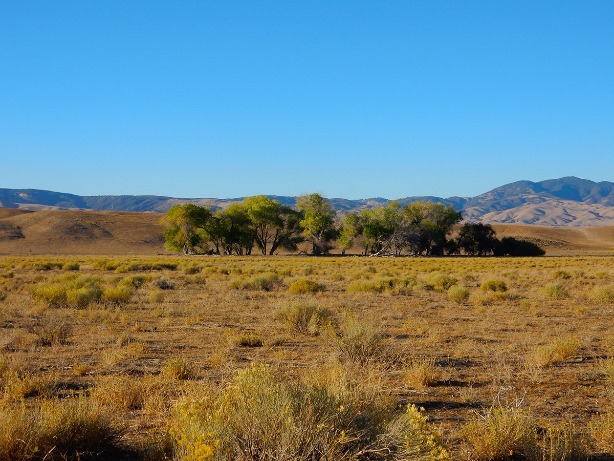
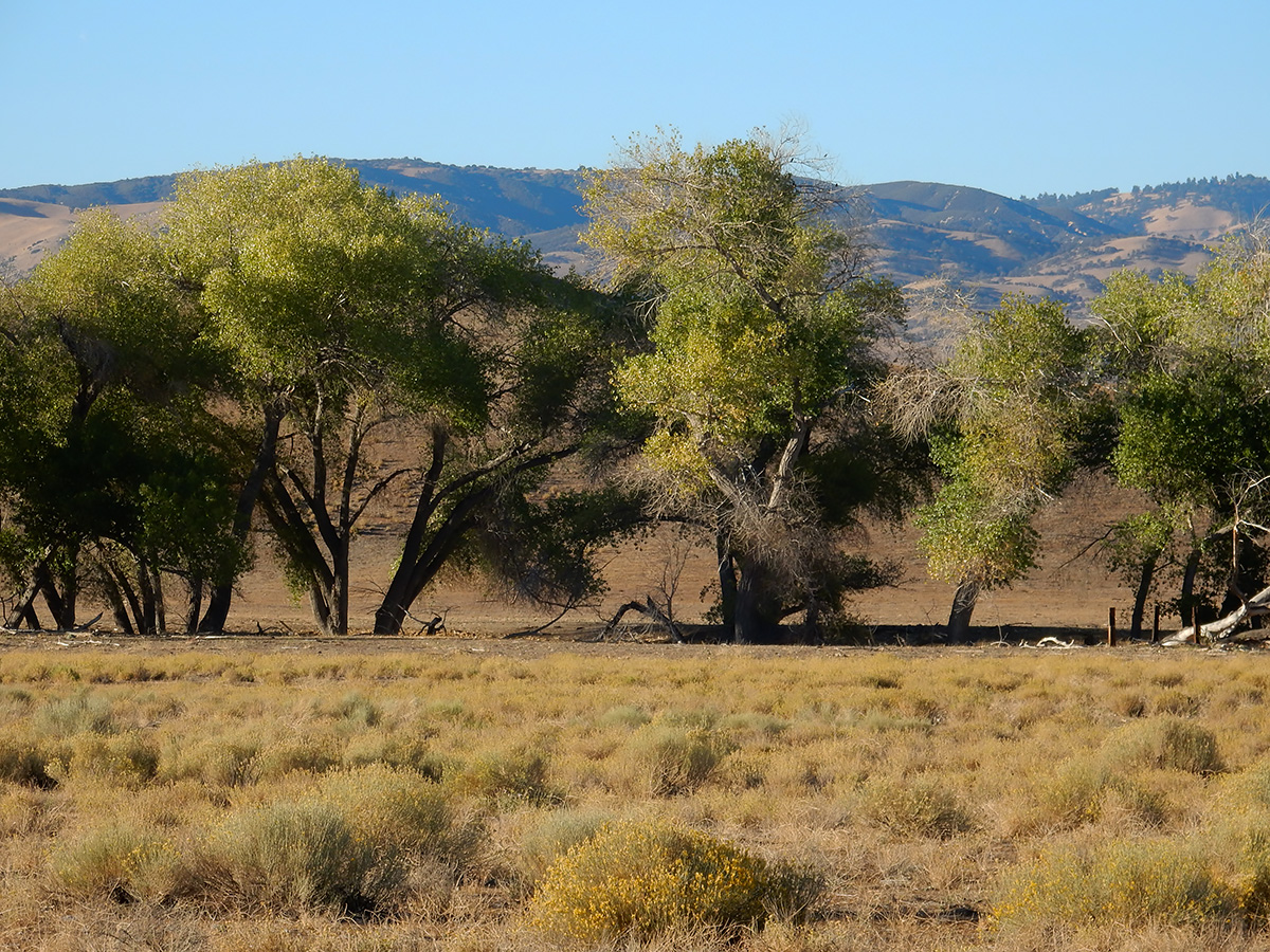
DSCN0074 webCottonwoods along California State Route 138
DSCN0077 web 2
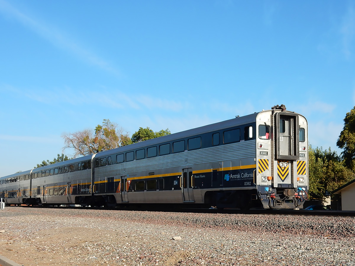
DSCN0078 webAmtrak cab car "Mount Shasta" heading north, Merced, California
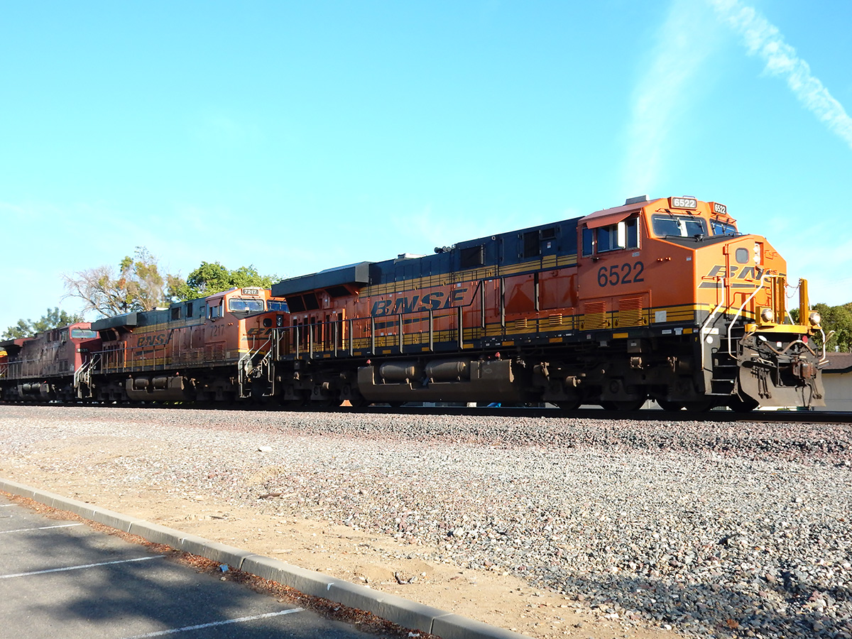
DSCN0080 webSouthbound freight on the BNSF line, Merced, California
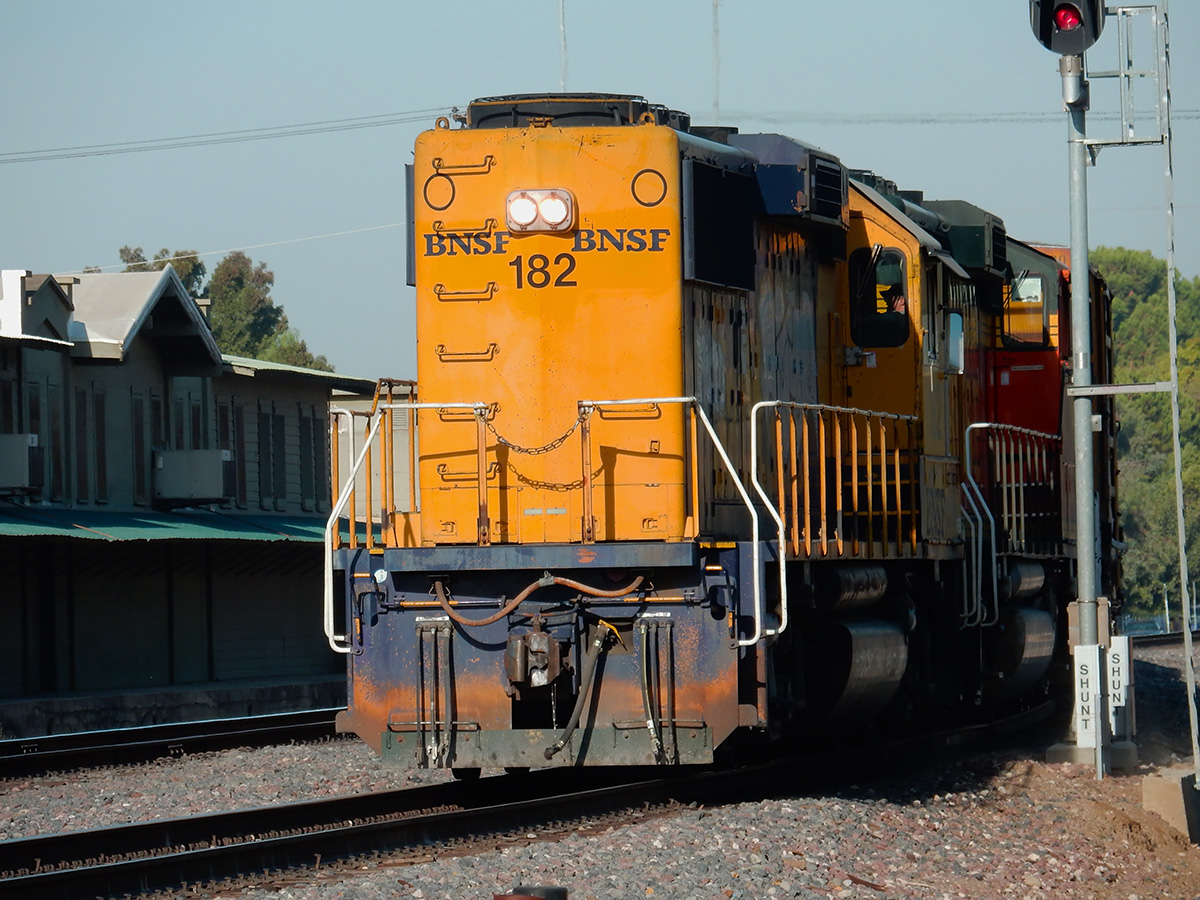
DSCN0083 webLocal BNSF crew setting out freight cars
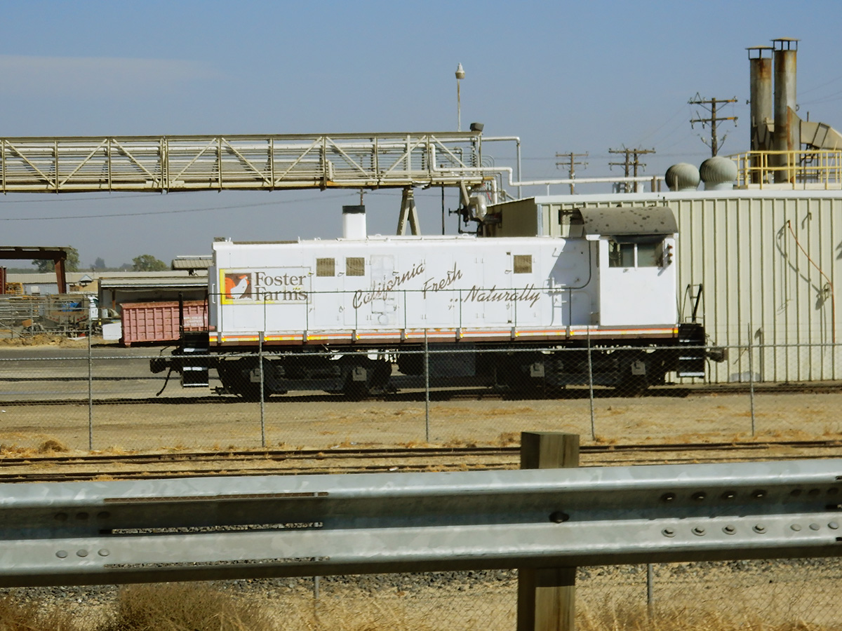
DSCN0092 webSW1200 switch engine at the Foster Farms Collier Road plant
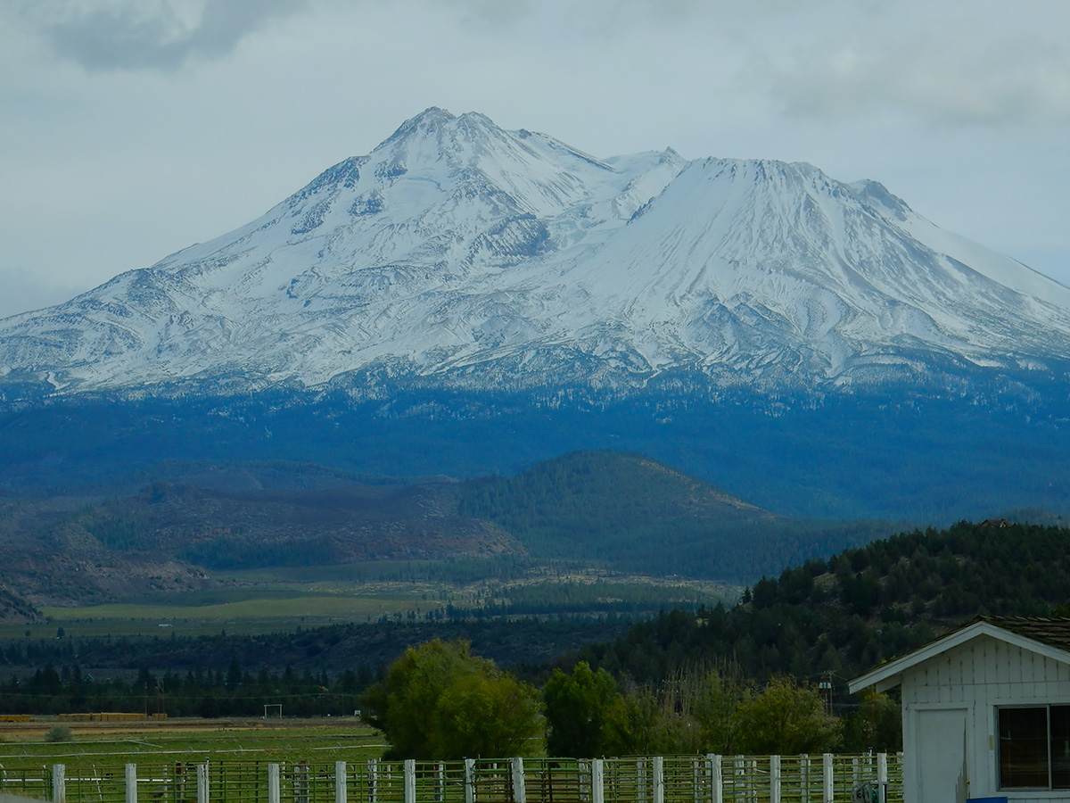
DSCN0117 webCity of Mount Shasta below its namesake
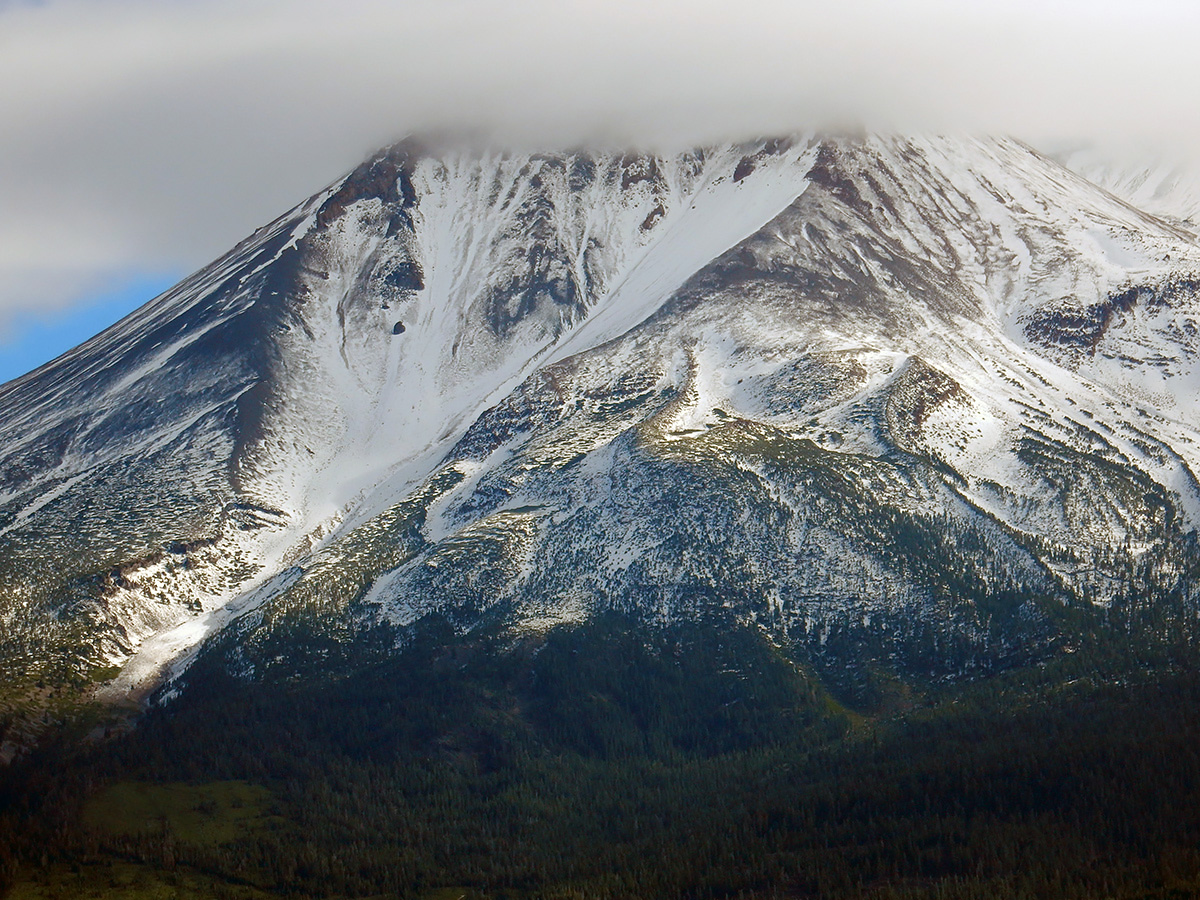
DSCN0101 webMount Shasta from the northwest side
DSCN0155 webThe Shastina cone of Mount Shasta
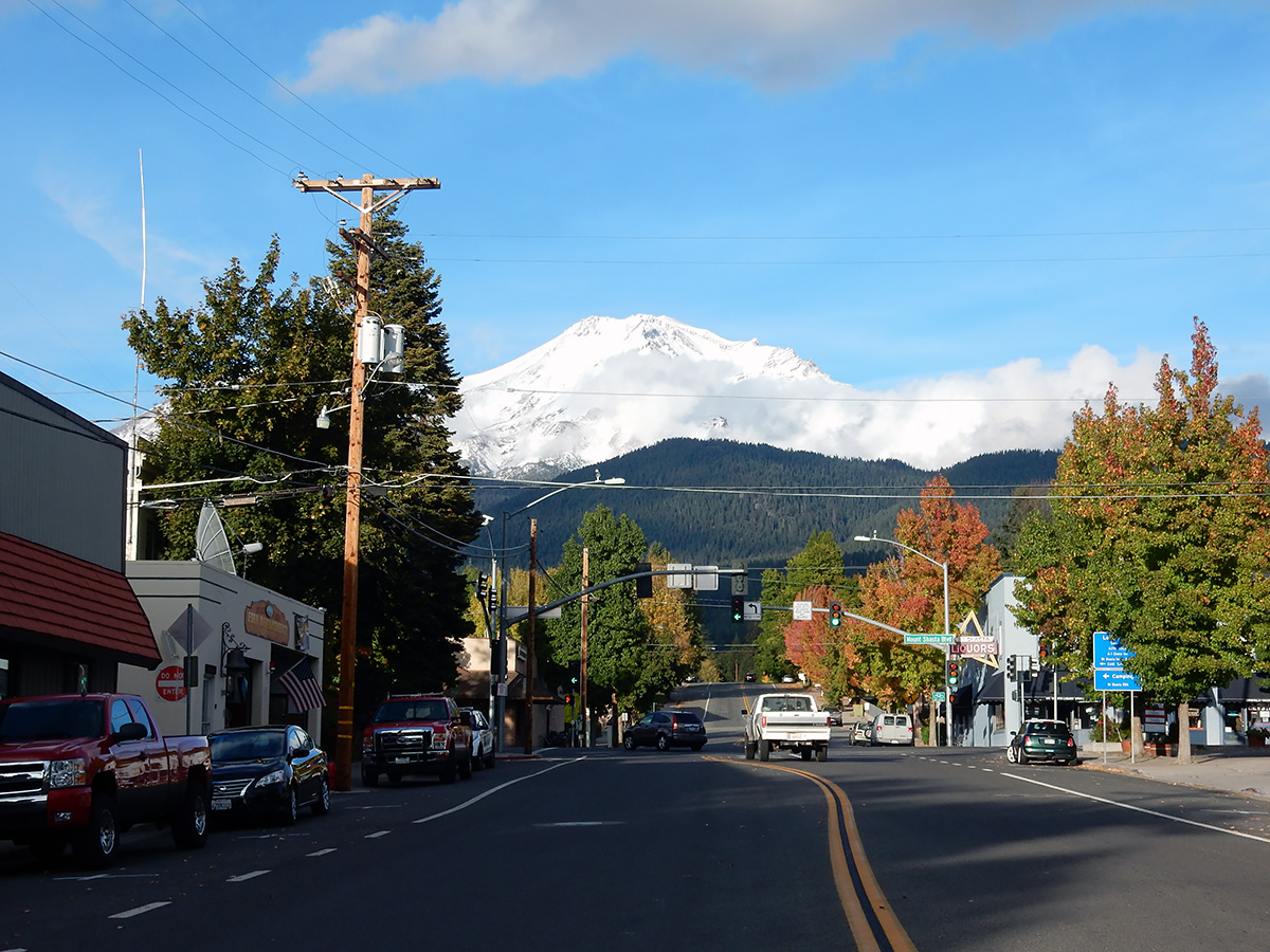
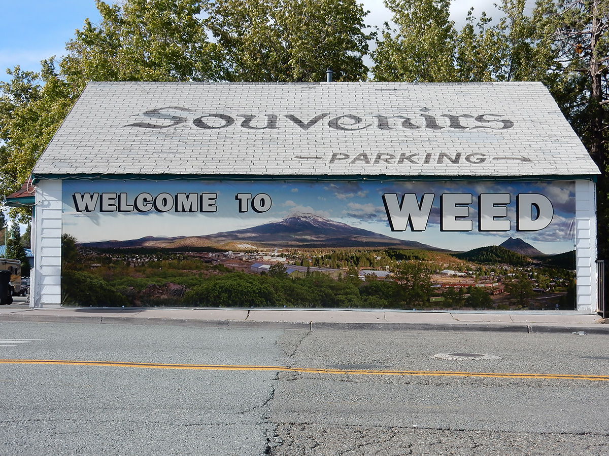
DSCN0110 webWeed, California
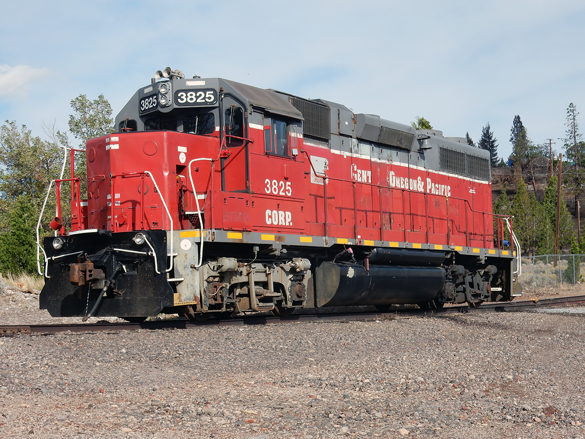
DSCN0105 webSwitch engine at Roseburg Lumber Products in Weed, California
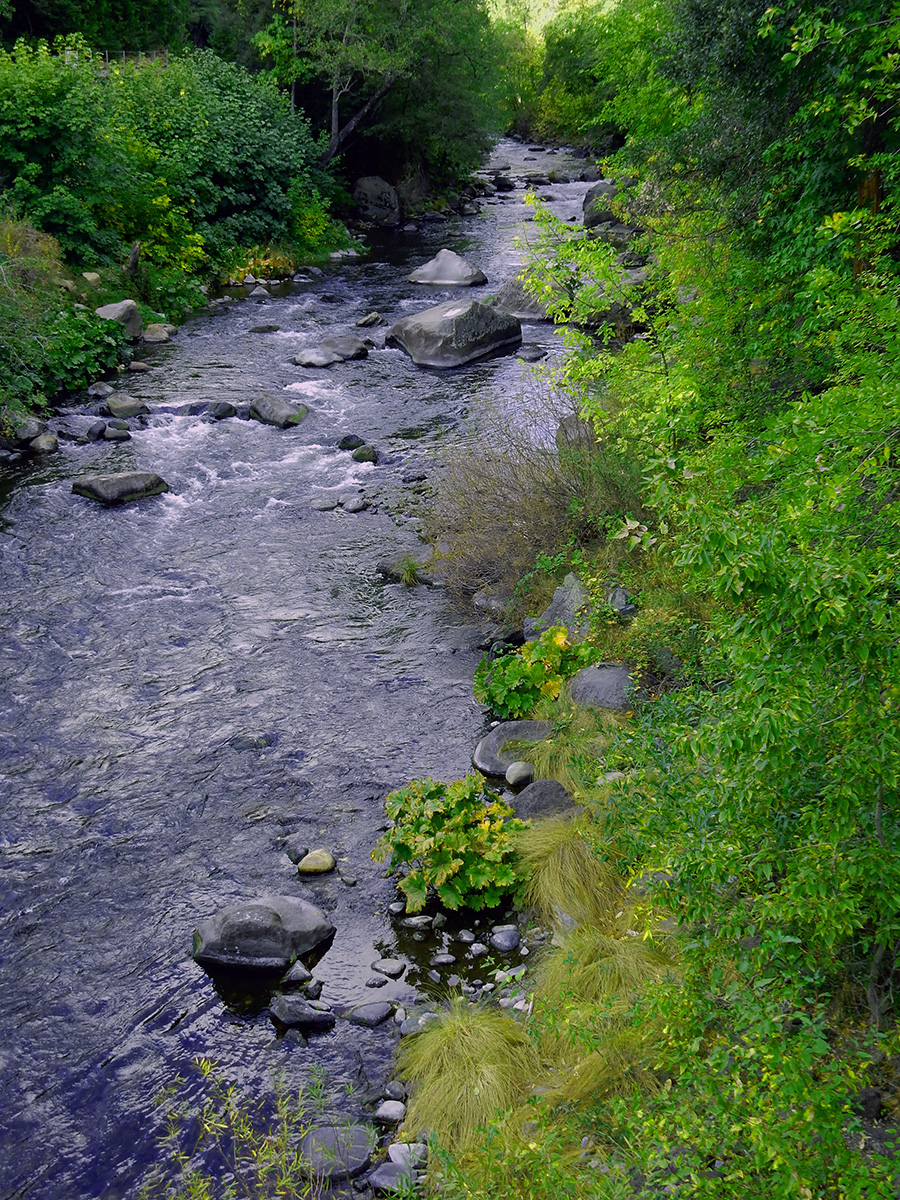
DSCN0115 webThe Sacramento River, Dunsmuir, California
DSCN0161 webBlack Butte, just north of Mount Shasta. Black Butte is an extinct dacite dome volcano.
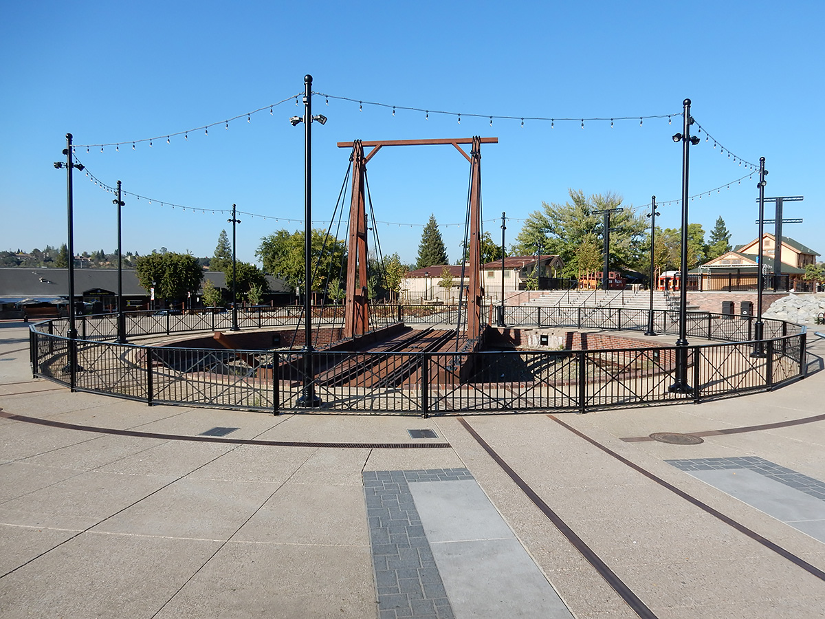
DSCN0207 webLocomotive turntable replica, downtown Folsom, California
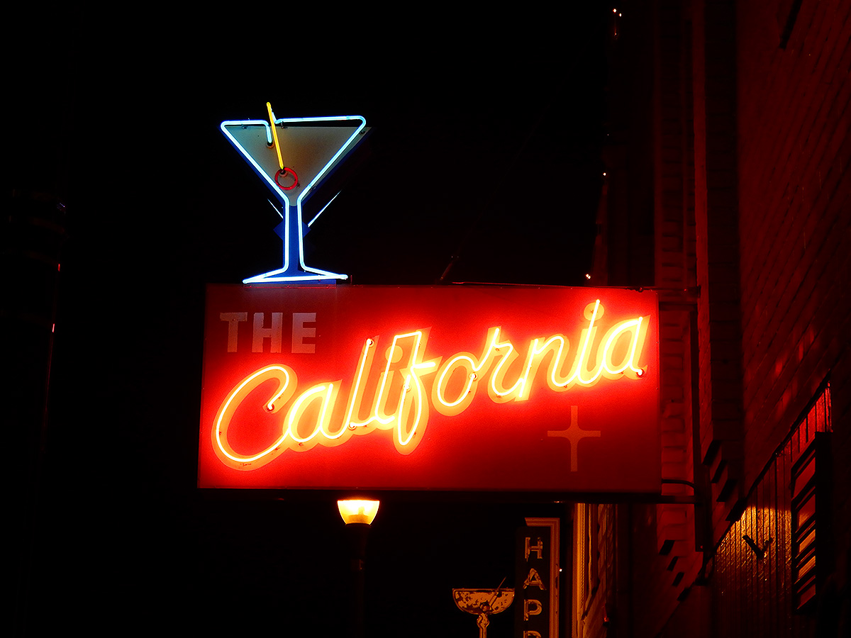
DSCN0211 webA bar sign in Auburn, California
IMG_1852 A webOn the east side of the Salton Sea, California, looking west
IMG_1856 webPelicans, Salton Sea
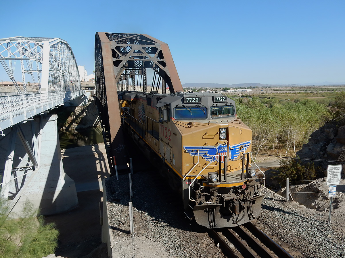
DSCN0223 webAn eastbound freight train crosses the Colorado River at Yuma, Arizona
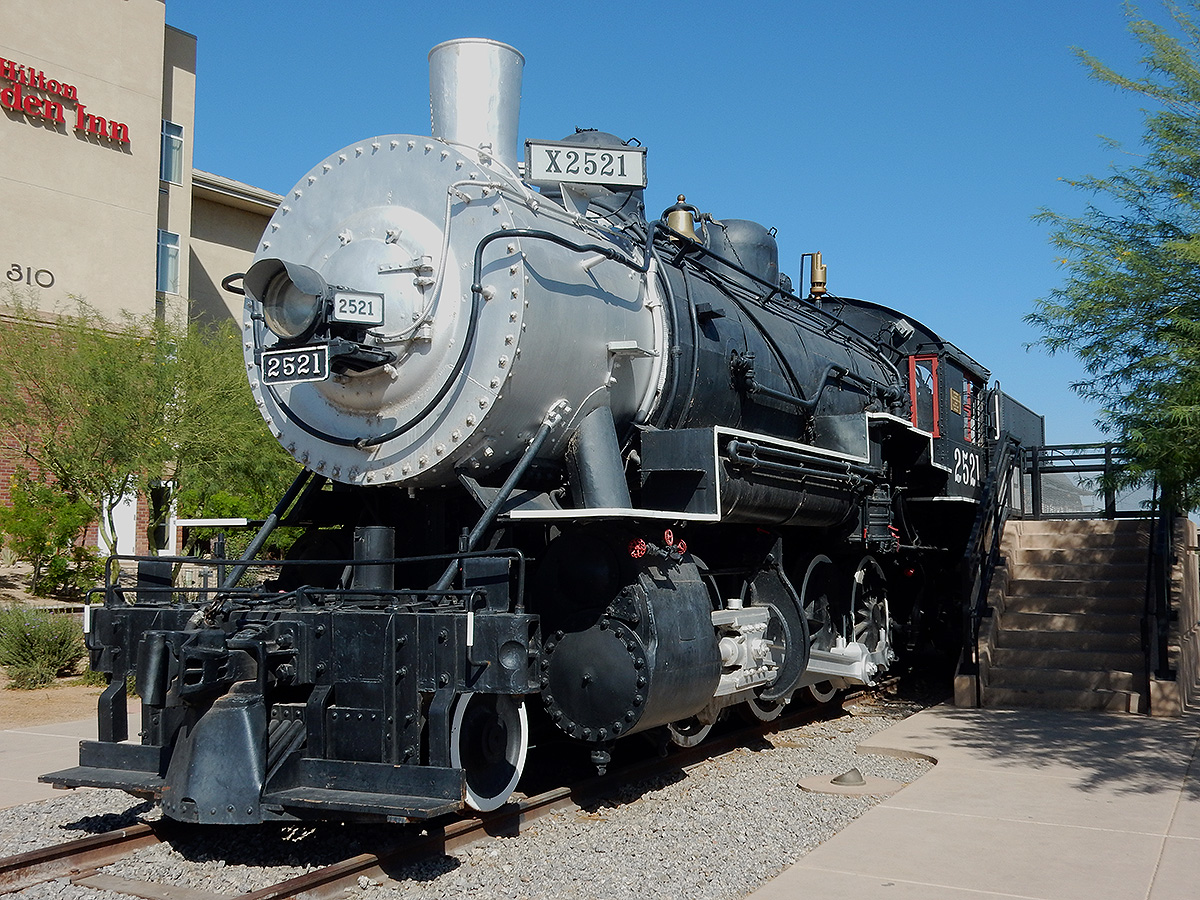
DSCN0224 webBalwin steam locomotive SP 2521 on display in Yuma.
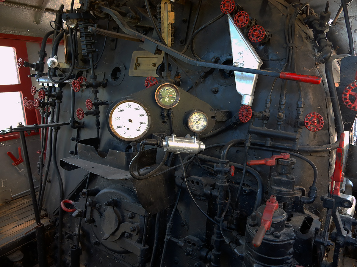
DSCN0227 webInside of the cab of SP 2521
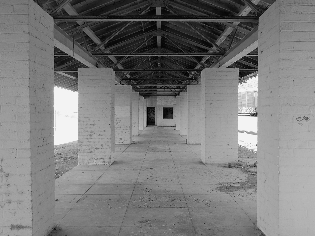
DSCN0218 bw webAbandoned train station, Fort Yuma-Quechan Indian Reservation, which straddles the California/Arizona state line at Yuma.
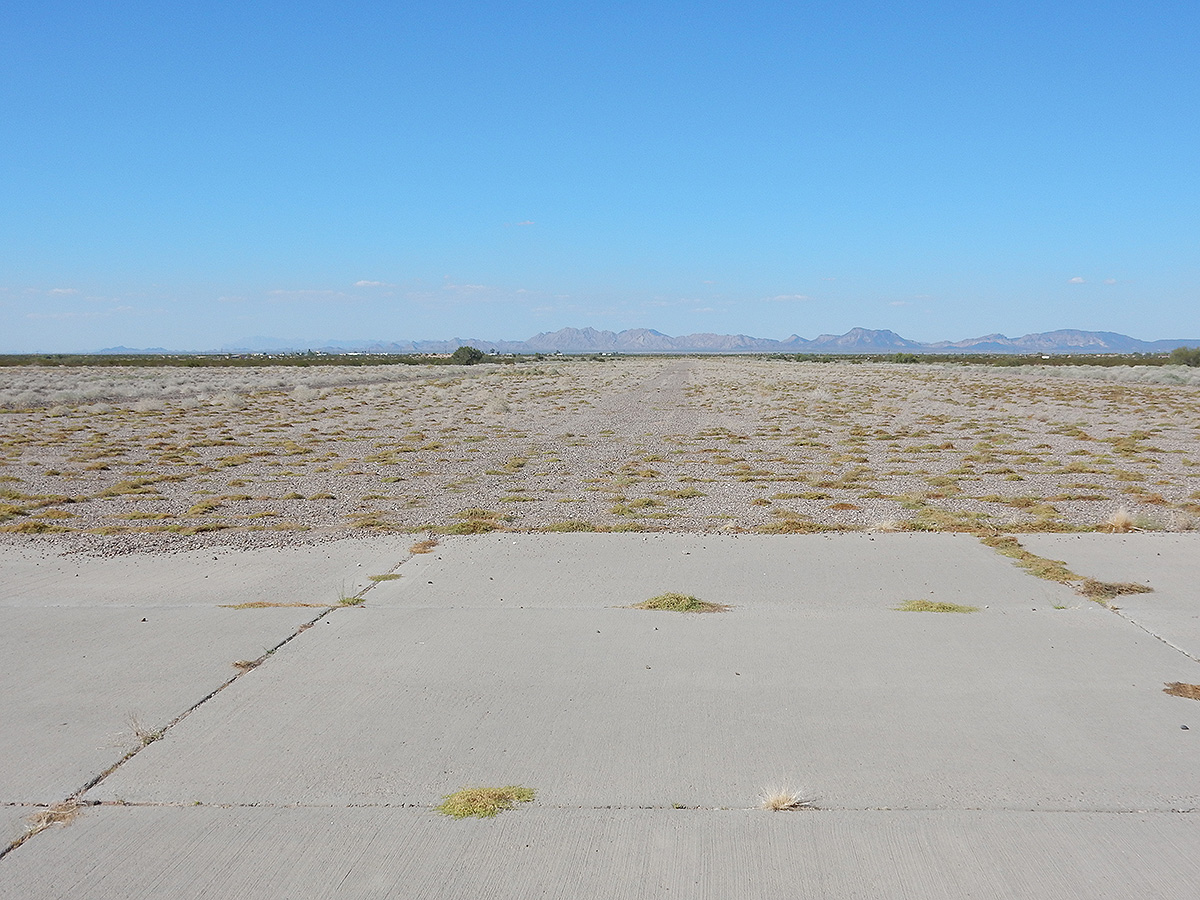
DSCN0233 webOne of the former runways of the WWII Army Air Corps training field Dateland Field, Dateland, Arizona
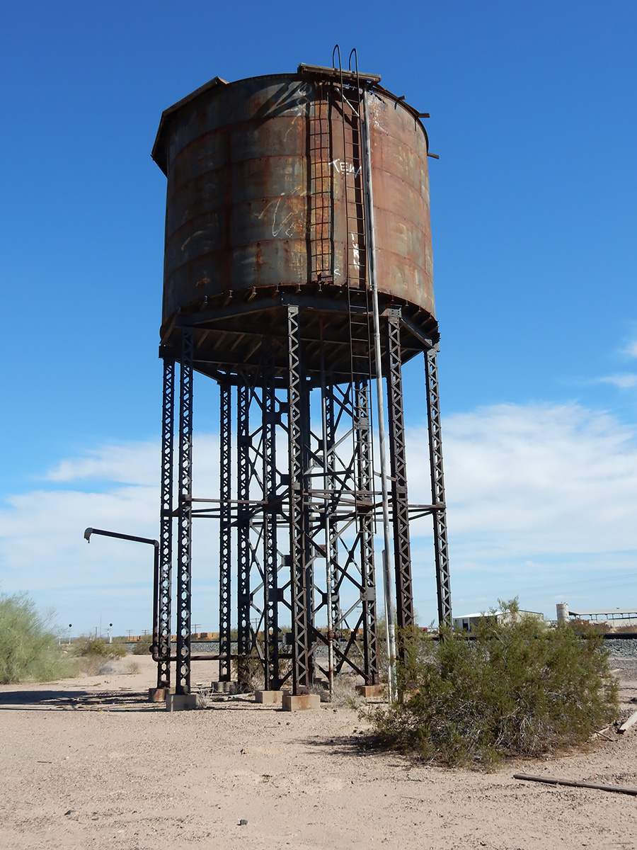
DSCN0231 webAbandoned water tower, used for steam locomotives along the former Southern Pacific Railroad line, just east of Dateland, Arizona