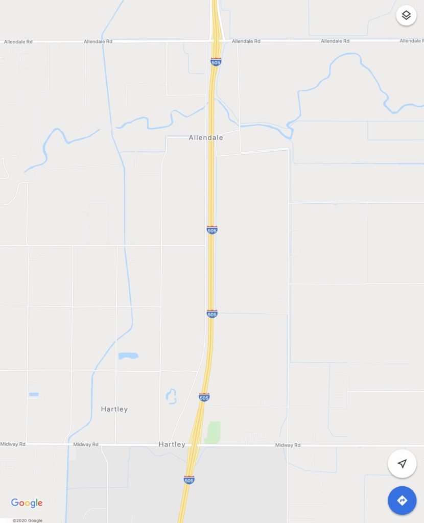
Driving home from the Bay Area up Interstate 505 (the “Winters Cut-off), I jumped off the highway at the Midway Road exit just north of the Nut Tree Airport to look for remnants of the Southern Pacific Clear Lake/ Winters Branch along the modern interstate.
I vaguely remember seeing rail cars along the interstate’s predecessor 2 lane highway as our family travelled back and forth between the Bay Area and Siskiyou County in the late 60’s and early 70’s. I rediscovered the railroad branch while looking at old topographic maps of the area recently.

The above topo map shows the railroad running between Hartley Road and the under construction Interstate 505. I explored the stretch between the two arrows, heading north from Midway Road to Allendale Road.

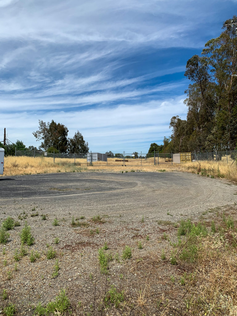
Starting from Midway and Hartley Roads, the railbed would have come through the middle of the warehouse shown in the above picture. (7 January 2021 update: It should be noted that a brand new warehouse has been constructed on the land in the above photo)
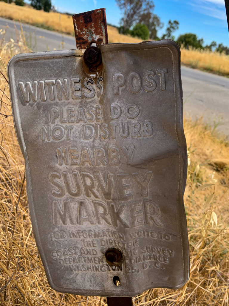
Also at this corner is found a USGS benchmark with its associated witness post, monumented in 1904 (Solano County B 44, PID JS1521).


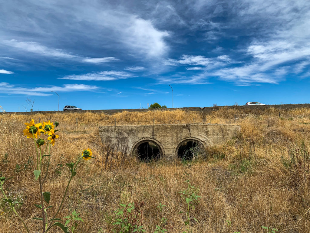
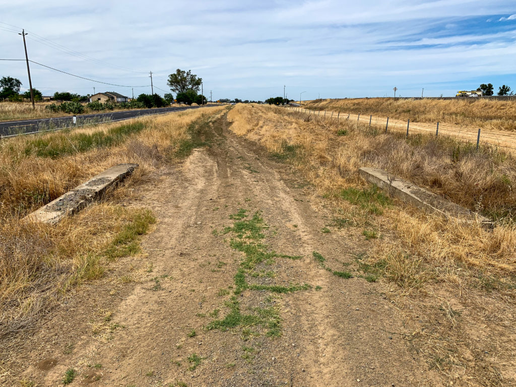
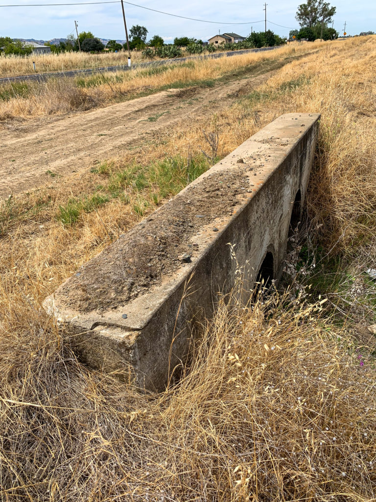
Along this stretch of the abandoned railbed, a number of small drainages are crossed. Below is one the the concrete culverts used to cross these.
At Hartley and Allendale Roads, we look back south in the next photo, the the raised railbed to the left in the image.
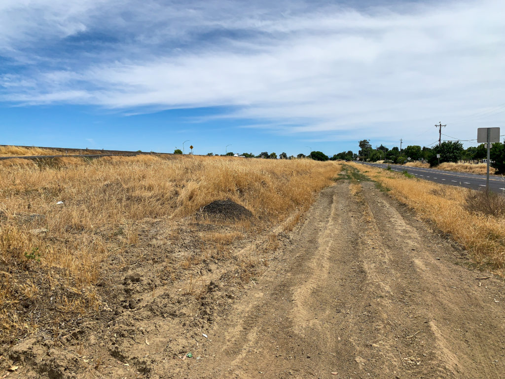
My quick exploration ends at Allendale Road. The next stretch of railbed is now private property across the road.

REFERENCES