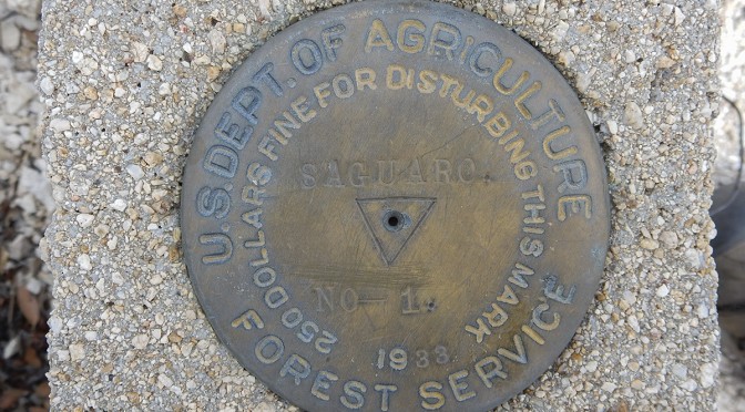
Benchmarks, survey markers, cadastral moonuments – in the years past I didn’t give them much thought. Sure, they’re helpful while direction finding, but one tends to forget the history behind a marker. Any marker is the result of a daisy chain of successive surveys, starting with efforts to map the New World, fixing the boundaries of territories and colonies, establishment of Spanish land grants and American homesteads, mining districts, States and townships, national lands (parks, forests, monuments, etc.), up to individual plots that drive urbanization and suburbia. Survey markers not only help to define a piece of property, but establish elevation and distance, including assisting scientists to understand if land is subsiding, rising, or stretching (i.e. plate tectonics, ground water depletion, etc.).
Survey markers and monuments can be found alongside a city street, in city parks, at the boundaries of states, as well as deep in the forests and atop numerous hills and mountains, miles and miles away from civilization. It is humbling to think of the effort that early surveyors had to go through to battle harsh conditions, traverse difficult landscape, toting heavy survey gear, to establish markers and map the land without the benefit of modern day conveniences and technology.
In this area of my website I document these small but important monuments that I’ve come across that physically define the boundaries of the lands and jurisdictions that we travel about everyday.