Medical issues necessitated that my wife and I spend 5 weeks recently in Portland. While most of that time was spent in two area hospitals, we did have the opportunity to visit some new eateries, as well as revisit some others.
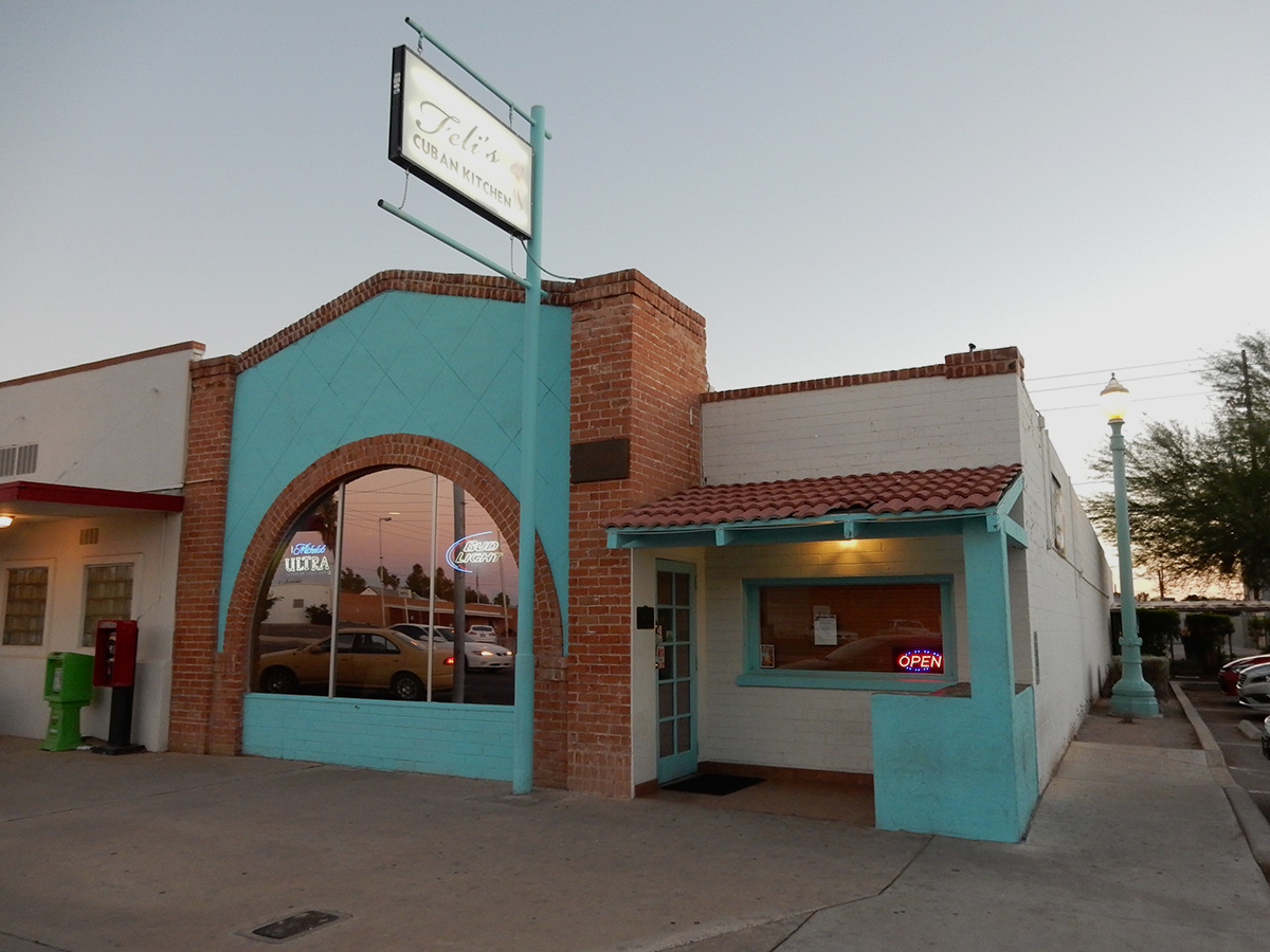
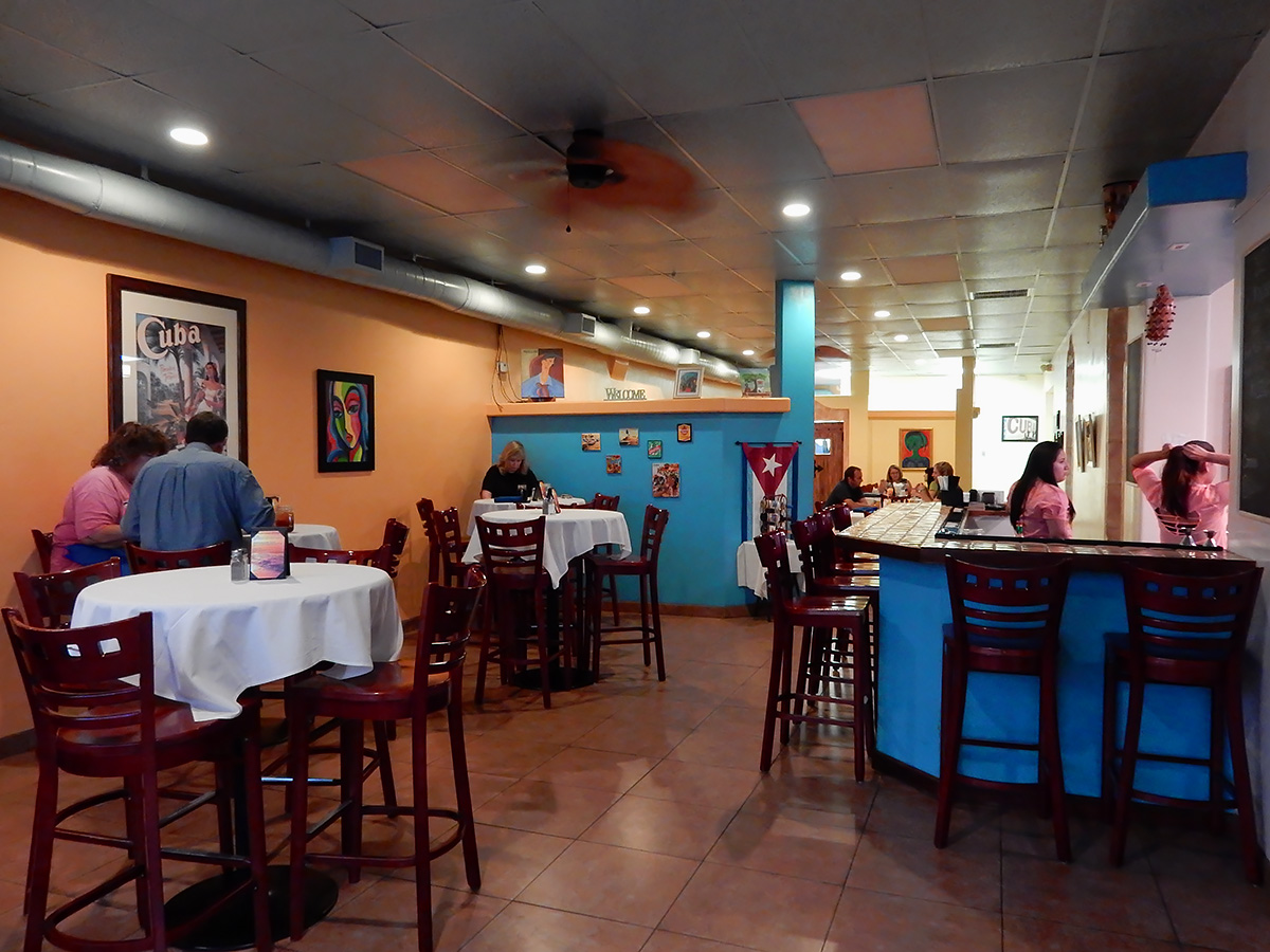
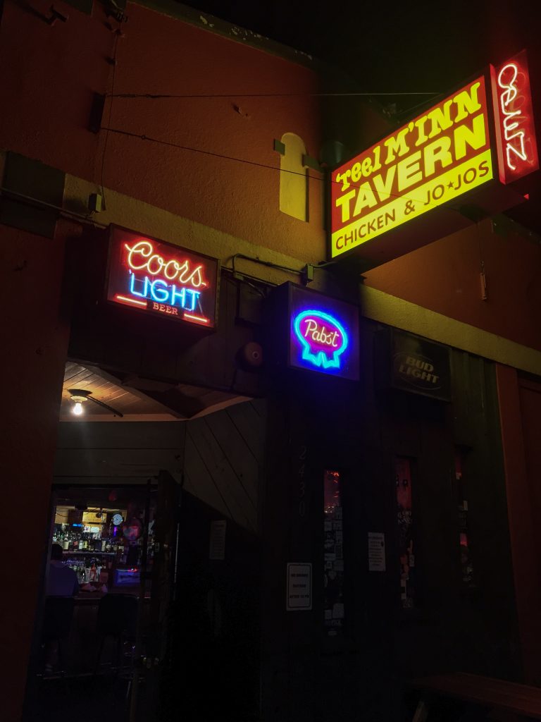
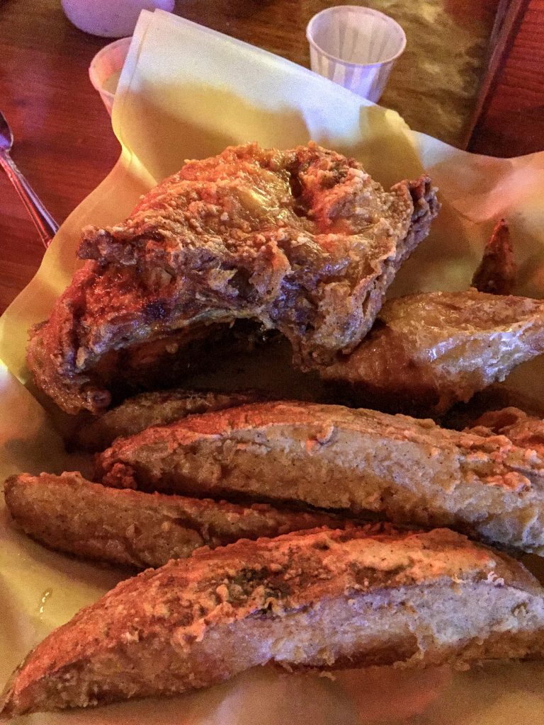
Reel M Inn
A classic dive bar, this was not only a must-stop for the fried chicken, but because our adventure daughter, Claudia (IG: @claudiafabbrini) tends bar there. Cheap beer, unbelievable fried chicken and jojos, and a lively atmosphere fueled by neighborhood patrons are a hallmark of this pub in Portland’s SE side. It’s takes about 55 minutes on average to get your chicken, as the bar has only one small fryer, but it is worth the wait. Incidentally, Bon Appétit magazine just featured Reel M Inn in a web post this past week.
Reel M Inn is at 2430 SE Division Street.
Palio Dessert & Espresso House
Just located 5 minutes from the Reel M Inn in the Ladd’s Addition neighborhood, Palio is a cozy and unassuming coffee house offering an assortment of salads, paninis, and most importantly, desserts. Open until 11 pm nightly, this is a great place worth the drive from anywhere in the metro area to share a dessert and conversation with a friend or partner.
You can find Palio at 1996 SE Ladd Avenue.
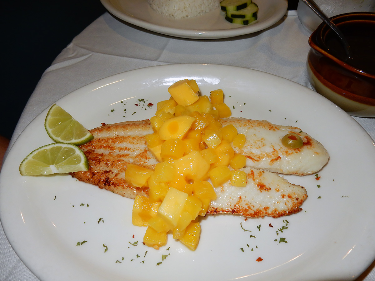
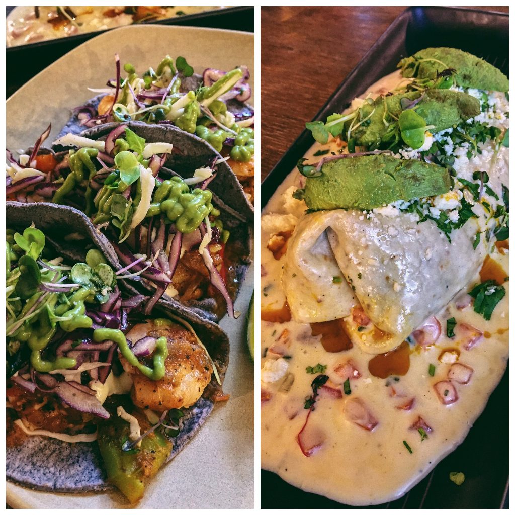
Tamale Boy
Unbelievable Mexican food. Period. Having lived in Tucson for 12 years, and traveled in Mexico, what I sampled here I’ll put up against anything I’ve eaten in the Southwest or Mexico. Tamale Boy features textures and tastes from southern Mexico, so it will surprise you if you are used to a more Baja or Sonoran style. The location on Dekum (one of two shops) where we ate has a food truck ambiance, which derives from Tamale Boy’s food truck catering business.
Dekum location: 1764 NE Dekum Street
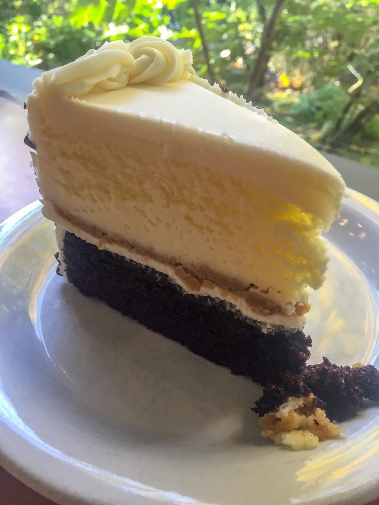
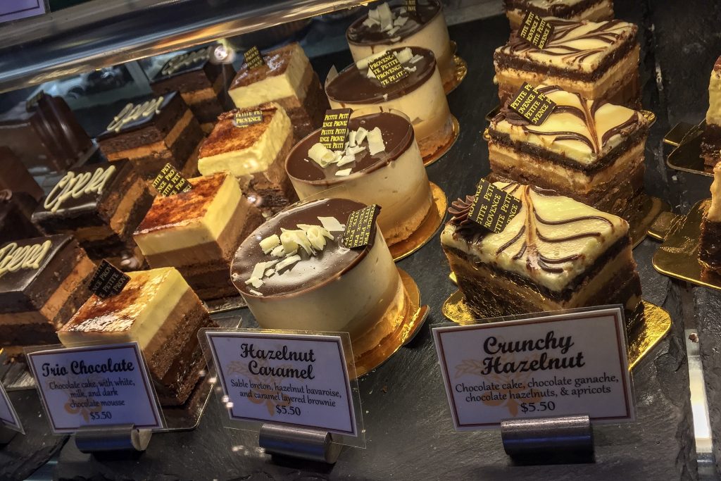
Petite Provence
We went here for dessert (a reoccurring theme in my life). Located in the Alberta Street District of Portland, one could order a wonderful French bistro-inspired breakfast or lunch, but why? when so many wonderful pastries and cakes are waiting to be consumed.
1824 NE Alberta Street. Arrange a great day of gallery and boutique shopping on Alberta Street around your meal stop at Petite Provence.
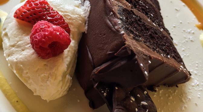
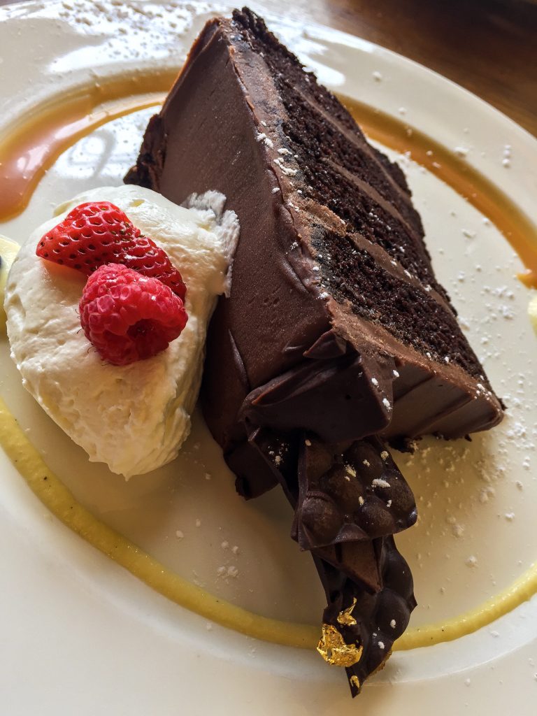
Papa Haydn
Dessert. Again. Our first experience with Papa Haydn was several years ago at their 23rd Avenue location in Portland’s Nob Hill neighborhood. This trip, we stopped at the original location on the SE side. With a more neighborhood vibe than it’s uptown sister location, it’s the perfect spot on a rainy PDX day to enjoy a hot beverage and a piece of cake. And then another piece.
Find Papa Haydn East at 5829 SE Milwaukie Avenue.
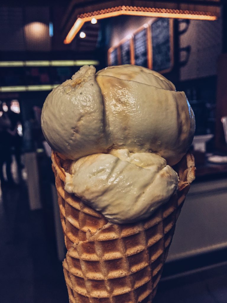
Salt & Straw
There’s a bunch of locations in Portland and on the West Coast. The one I frequented is on NE 23rd Avenue, a couple of blocks down from Legacy Good Samaritan Hospital, where my wife spent two weeks at the Rehabilitation Institute of Oregon (an absolutely phenomenal facility). Salt & Straw creates wildly imaginative ice cream flavor combinations, with corresponding wildly imaginative names (Freckled Woodblock Chocolate, Avocado & Oaxacan Chocolate Fudge, Black Olive Brittle & Goat Cheese). I fell for the middle-of-the-road Sea Salt with Caramel Ribbons, a superb creamy vanilla ice cream with a satisfying amount of caramel and sea salt. Note: the lines get long for a cone or cup. Fortunately, pints are conveniently located at the register. Yes, I justified eating a pint, since it wasn’t much more than a double scoop in a waffle cone, and I didn’t have to wait 20 minutes.
We visited Salt & Straw at 828 NW 23rd Avenue, but there are several more in PDX, including one on the Alberta Street District.
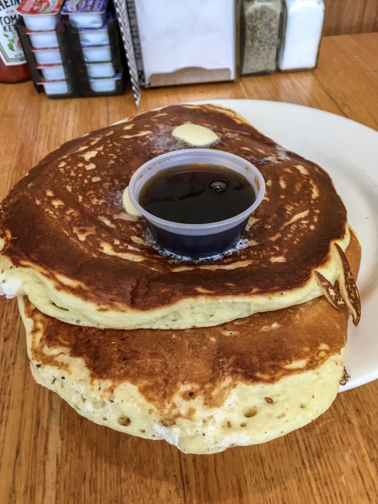
Original Hotcake House
Breakfast. 24 hours. Steak and eggs. Pancakes the size of tectonic plates. Need I say more? Just go. Indulge your breakfast desires at 1002 SE Powell Boulevard.