Morris K Udall Regional Park, Tucson
September 23, 2015 exploration
At one time the US Coastal & Geodetic Survey (now the National Geodetic Survey) had a magnetic and seismic research station in Tucson, established in the early last century. In the 1990s, the site was abandoned by the USCGS and turned over to the city of Tucson. The 15 buildings fell into disrepair while the city struggled to determine what to do with the site. In 2007, the city had planned to save 5 of the buildings, but a contractor sent out to the site ended demolishing all but 3. The remaining buildings stand behind a fence, waiting for something to happen. (Arizona Daily Star article of 9/18/2007)
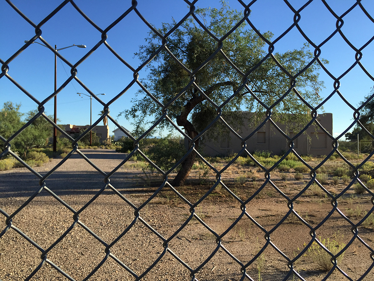
The buildings were constructed almost without any metal, using wood and adobe. Any metal used was aluminum, being non-magnetic.
I had a few minutes today, so I thought I would hunt for any of the benchmarks that might be left from those early days from the establishment and survey work done by the observatory. My cursory research showed that at one time there was least 5 benchmarks associated with the observatory. 3 apparently were destroyed during the aforementioned demolition, but the other two are in pristine shape.
The first two markers are GOOD or current. The following three are classified as DESTROYED.
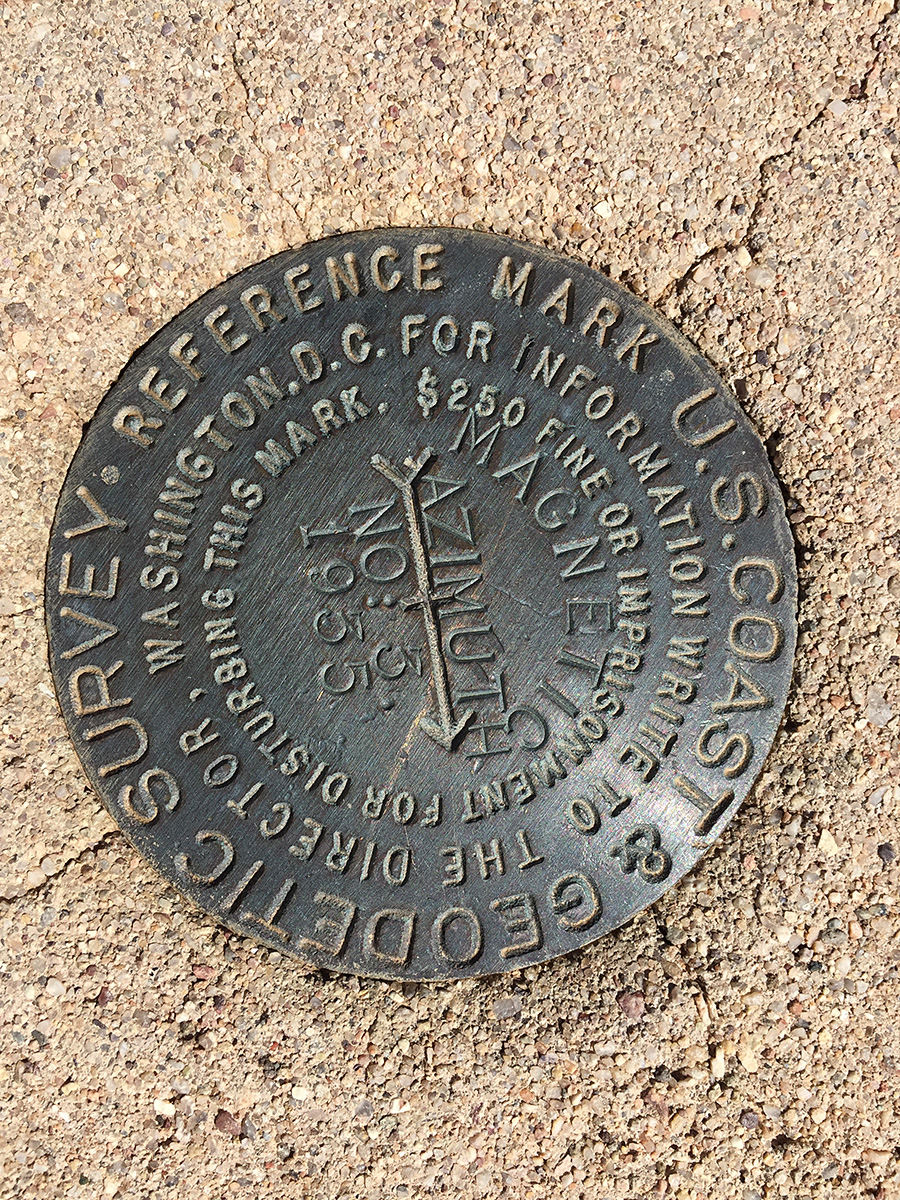
CZ2410 MAGNETIC AZ MK 3
N 32° 14.774 W 110° 50.102
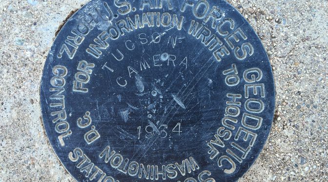
CZ1829 TUCSON CAMERA
N 32° 14.775 W 110° 50.256

CZ1828 MAGNETIC RM A destroyed
N 32° 14.778 W 110° 50.233
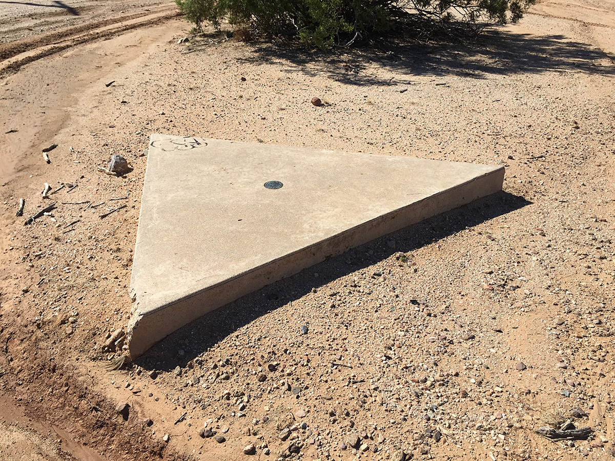
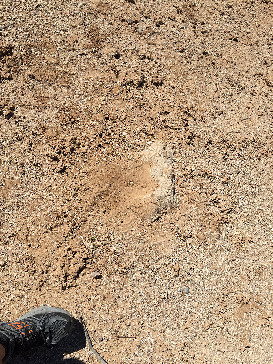
CZ1827 MAGENTIC RM 2 destroyed
N 32° 14.771 W 110° 50.248
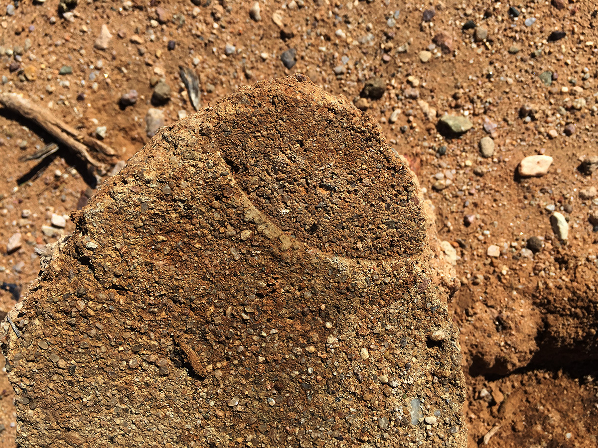
Concrete remains found?

CZ1826 MAGNETIC destroyed
N 32° 14.771 W 110° 50.265
Portion of base remains?
NOTE: The current Tucson Magnetic Observatory, operated by the US Geological Survey, is located at Saguaro National Park, Rincon Mountains District, on the east side of Tucson.