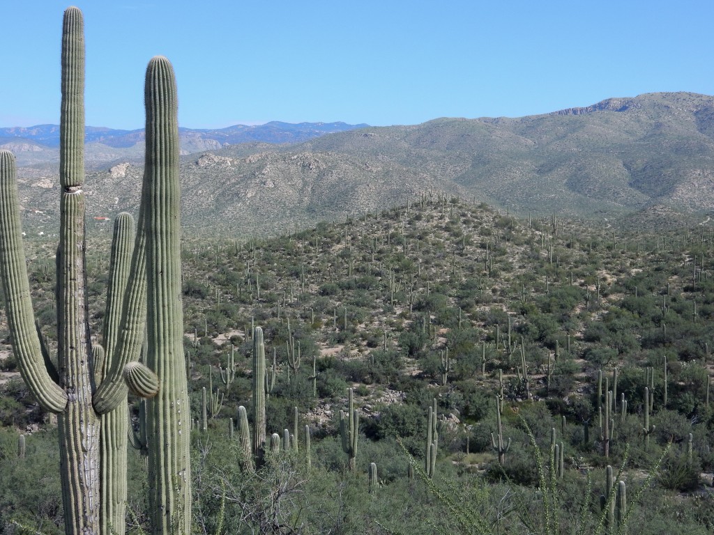
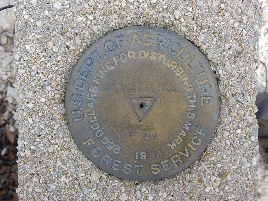
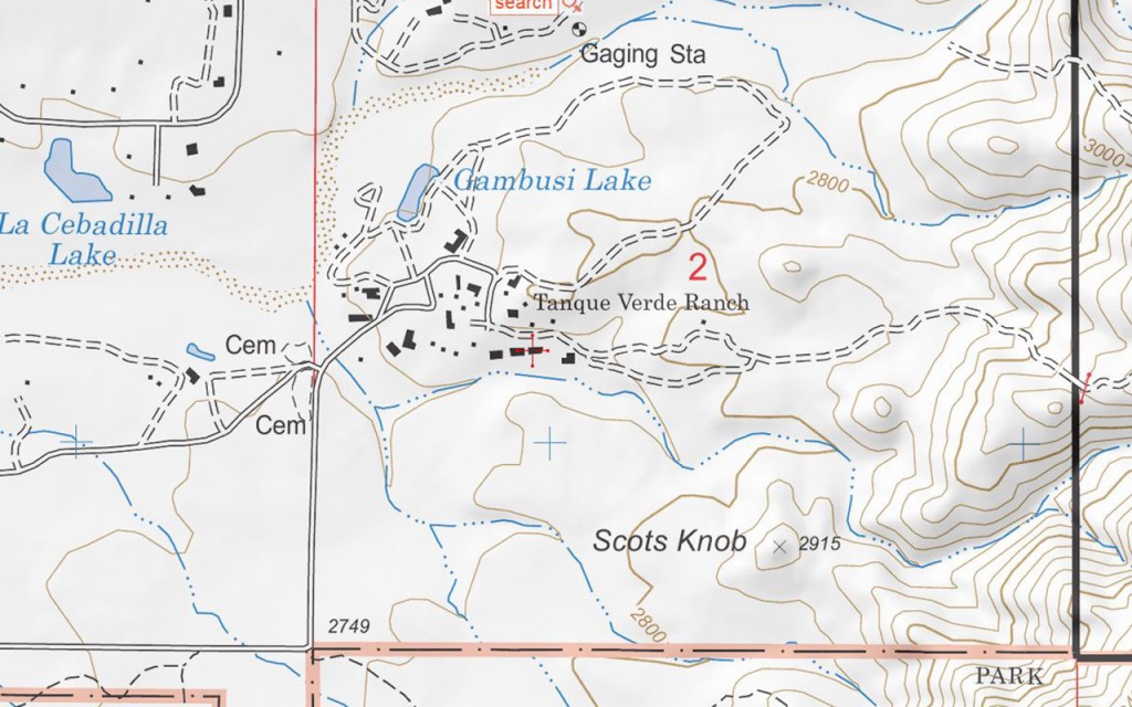
Scotts Knob is little hill (marked elevation of 2915 feet) on the eastern side of Tucson, about 1 mile east of the end of Speedway Boulevard, just north of the Saguaro National Park boundary, apparently on the property of the Tanque Verde Ranch (a local guest ranch). Unlike a couple of other hills in the area, this one is named on topographical maps, with an indicated elevation. (NOTE: On the Forest Service topo map below, “Scots Knob” with one “t” is used, but on all other maps it is spelled with two t’s)
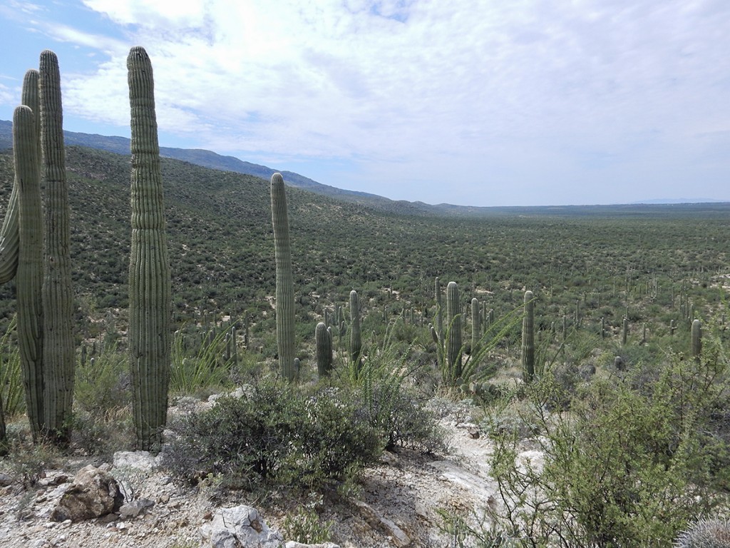
My buddy Rob and I checked it out this Labor Day morning. Access is through a gate to the left of the TV Ranch sign; stay on any trail that goes right and hugs the boundary fence of the national park. You will eventually pass through a fence line that goes north/south – you will see the hill on your left. Proceed another 100 yards or so and another trail going north towards Scotts Knob will become apparent. Within a few minutes you will be on top of the summit. From the top you have nice views towards the Santa Catalina Mountains and Agua Caliente Hill to the north, and a great southwest sightline of the northwest face of Tanque Verde Ridge component of the Rincon Mountains.
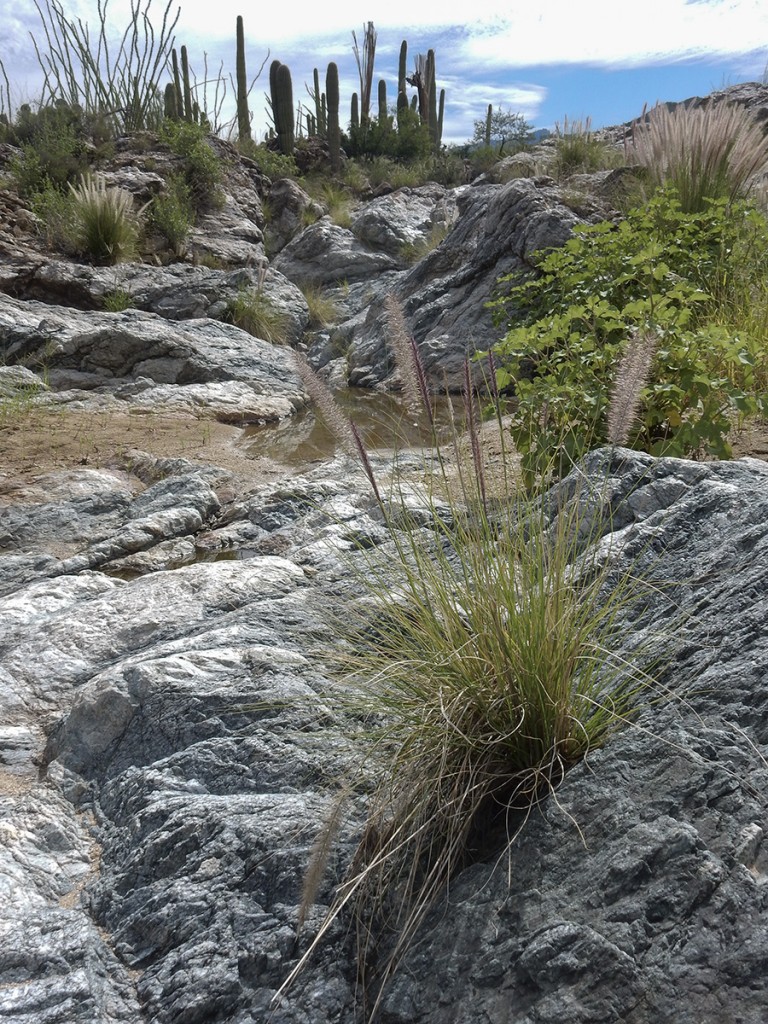
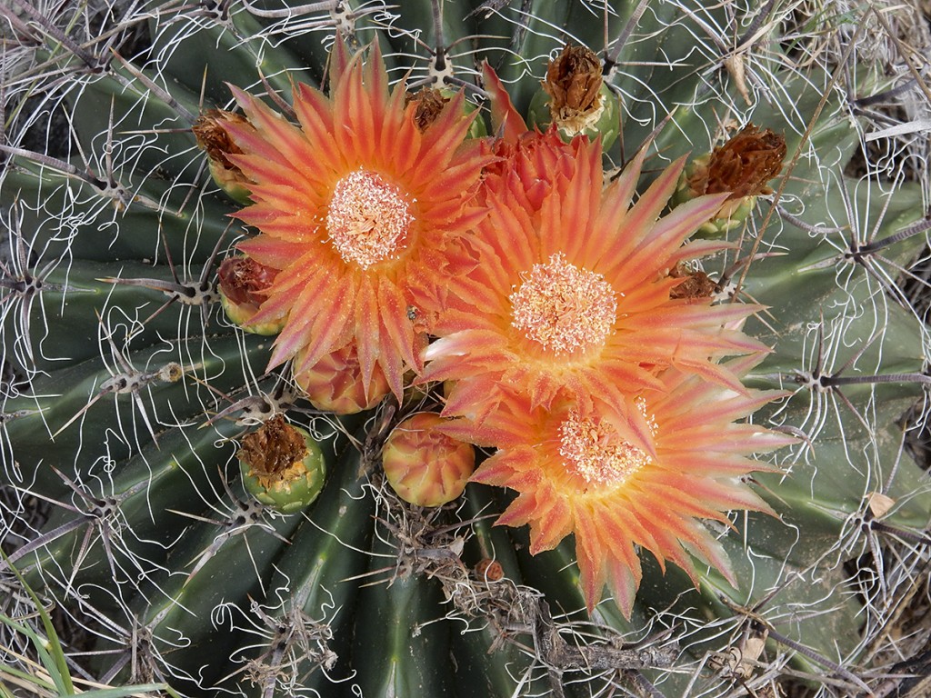
Below are a few pictures from our exploration of Scotts Knob.
