Tag Archives: Tucson

Exploring Scotts Knob

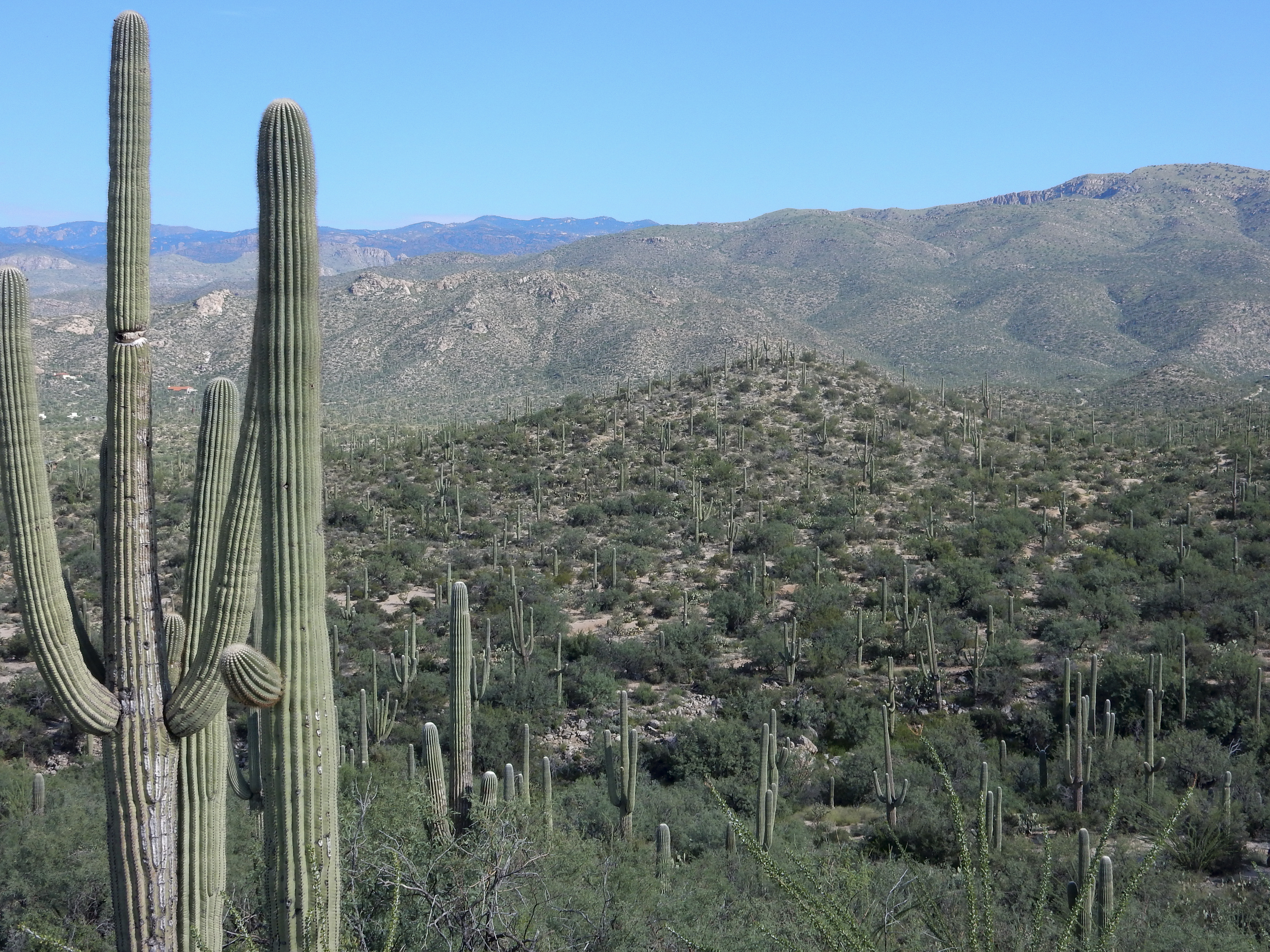
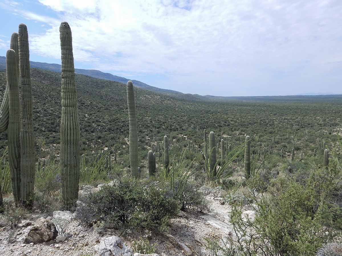
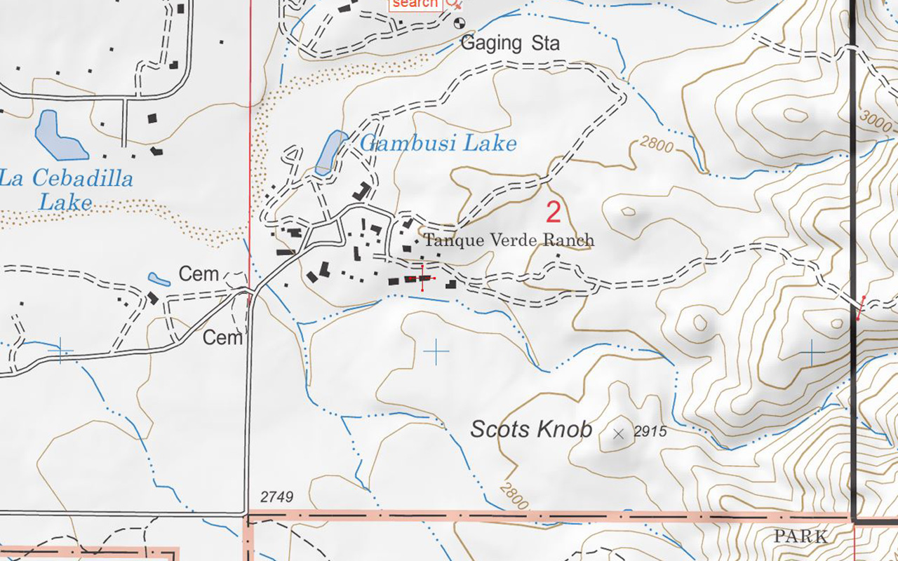
Scotts Knob is little hill (marked elevation of 2915 feet) on the eastern side of Tucson, about 1 mile east of the end of Speedway Boulevard, just north of the Saguaro National Park boundary, apparently on the property of the Tanque Verde Ranch (a local guest ranch). Unlike a couple of other hills in the area, this one is named on topographical maps, with an indicated elevation. (NOTE: On the Forest Service topo map below, “Scots Knob” with one “t” is used, but on all other maps it is spelled with two t’s)

Capture

My buddy Rob and I checked it out this Labor Day morning.  Access is through a gate to the left of the TV Ranch sign; stay on any trail that goes right and hugs the boundary fence of the national park. You will eventually pass through a fence line that goes north/south – you will see the hill on your left. Proceed another 100 yards or so and another trail going north towards Scotts Knob will become apparent. Within a few minutes you will be on top of the summit. From the top you have nice views towards the Santa Catalina Mountains and Agua Caliente Hill to the north, and a great southwest sightline of the northwest face of Tanque Verde Ridge component of the Rincon Mountains.

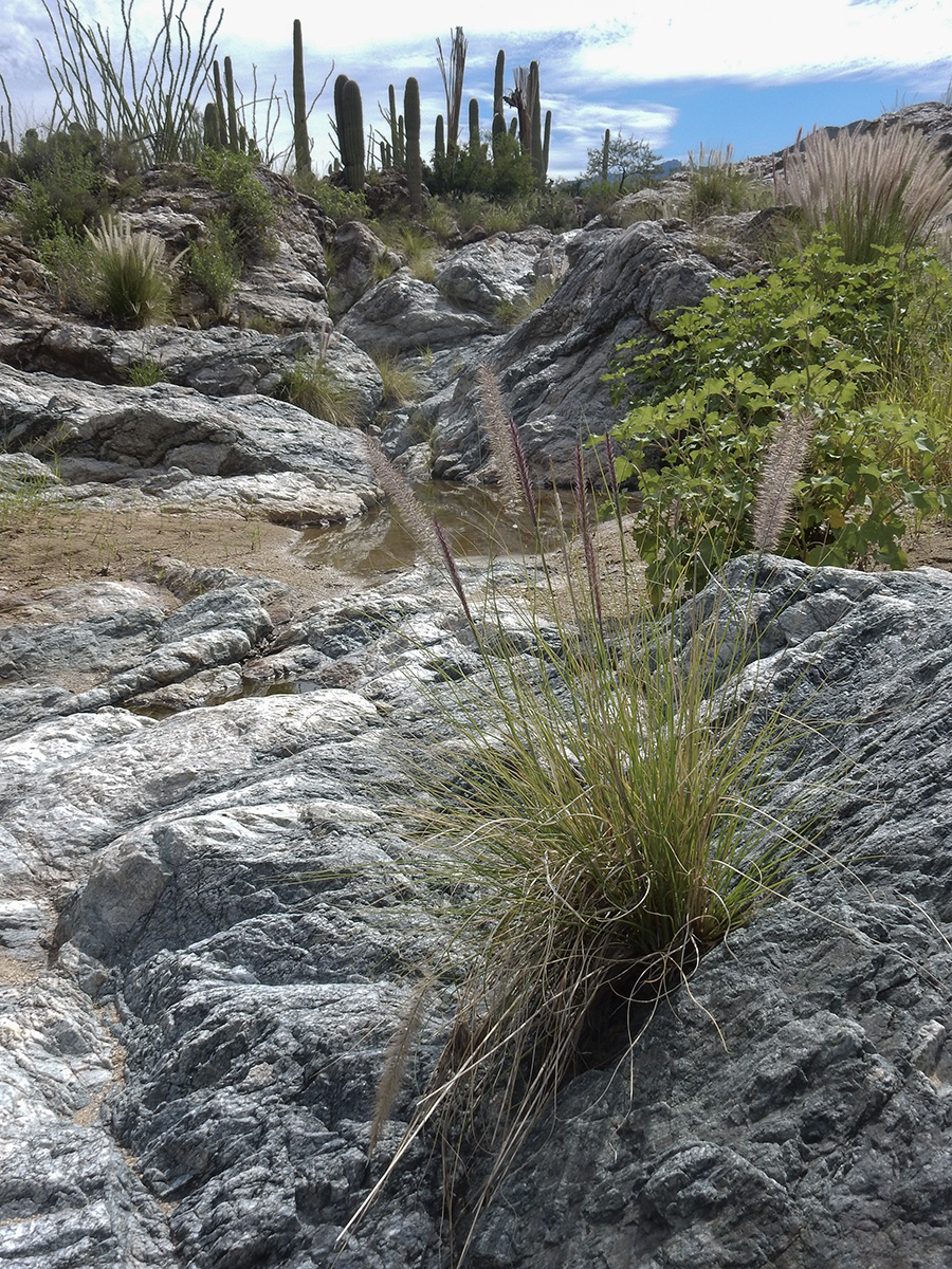
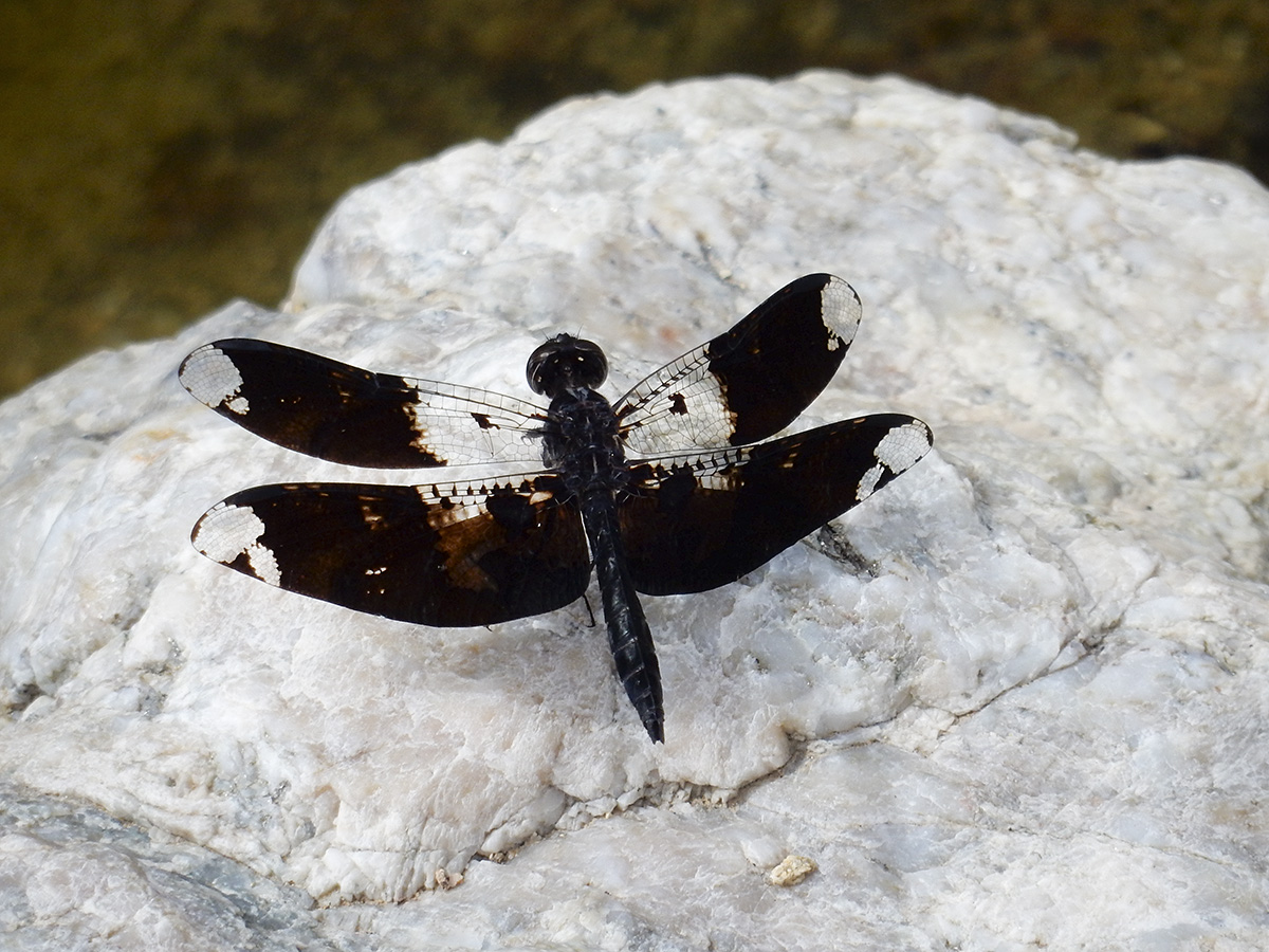
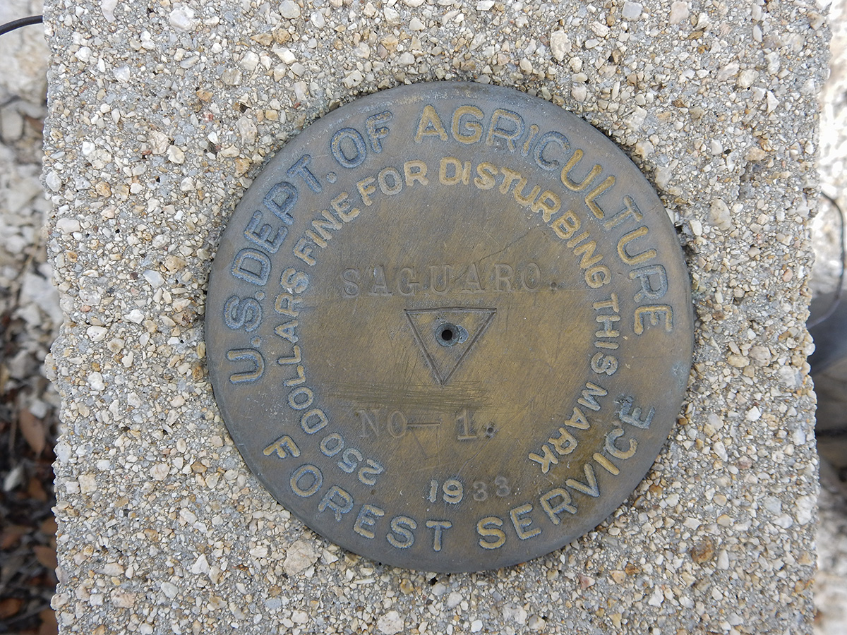
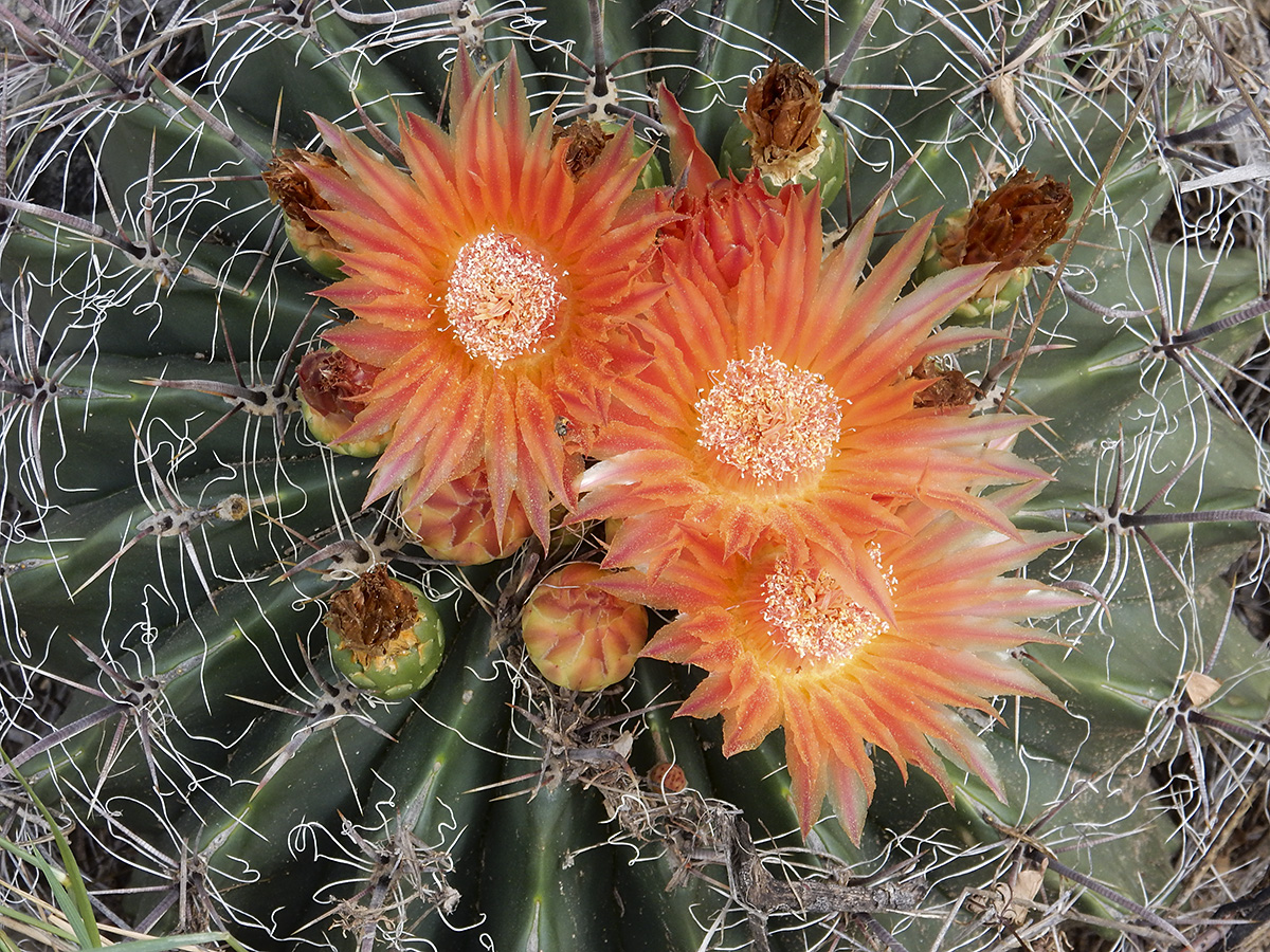
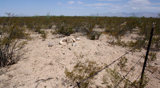
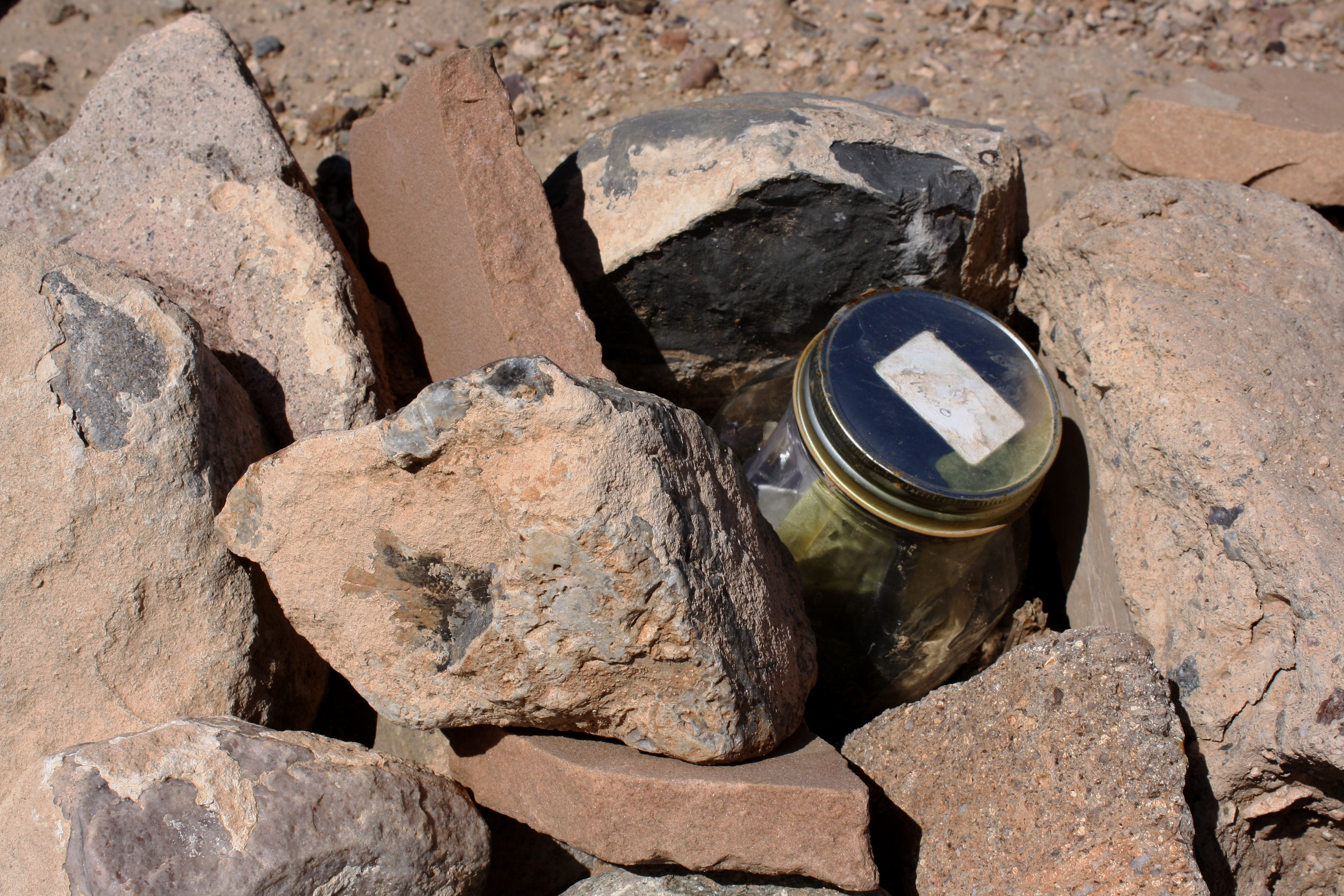
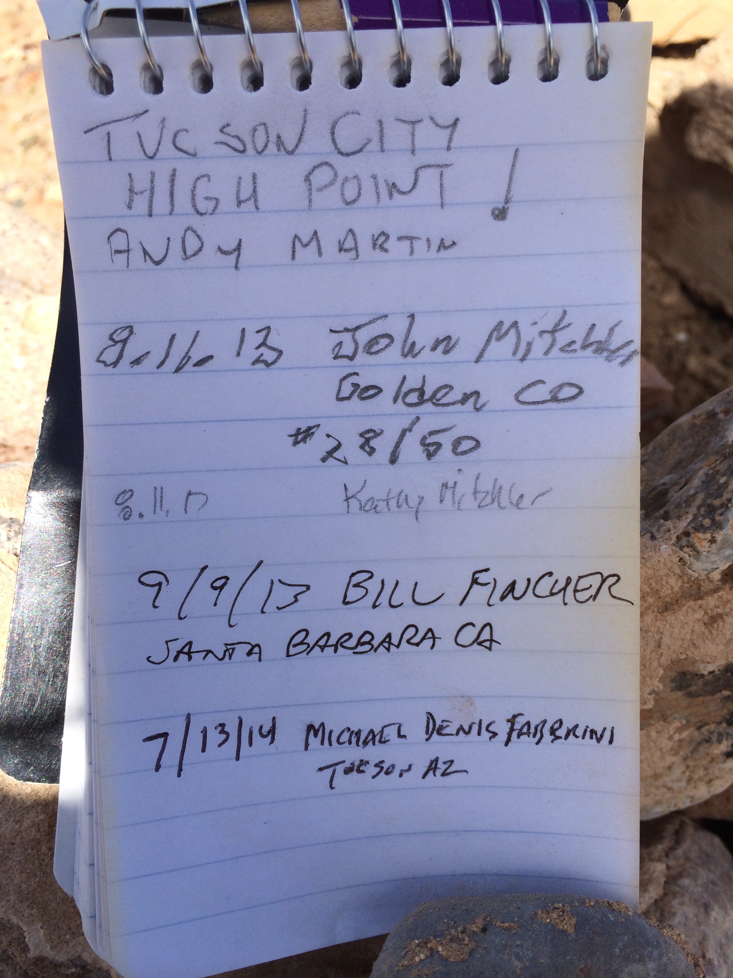
Below are a few pictures from our exploration of Scotts Knob.

DSCN0251-1 web
Scotts Knob is the small hill in the foreground. Agua Caliente Hill is behind it with it’s summit to the right. In the far distance are the Santa Catalina Mountains. This view is from the Douglas Springs Trail in Saguaro National Park.
DSCN0256-1 web
One of the small washes we crossed on our way to Scotts Knob.
DSCN0257-1 web
My best guess is that this is a male Filigree Skimmer dragonfly.
DSCN0267 web
Benchmark on the summit of Scotts Knob.
DSCN0269 web
Looking southwest from Scotts Knob. The Rincon Mountains are to the left.

DSCN0263-1 web

And The Highest Point In Tucson Is…

After years of planning and training, the time had come to tackle one the of peaks on my list – Tucson (City) High Point. After making sure I was provisioned, that my estate was in order, funds in place to cover the cost of a helicopter evac from the summit, and that I had cleared my browser history, I kissed my wife goodbye and set out for the far flung eastern corner of the Tucson corporate limits to make my ascent.

After parking the at the trailhead, the most daunting of obstacles presented itself – barbed wire fencing – damn! I’m in a good pair of jeans. Nonetheless, I was determined to forge ahead. Gently placing a hand upon the top strand, I pushed down and was able to get over without ripping new ventilation into my garments. Ahead I could see the summit. My goal was in sight. Putting one loafer encased foot after another, I deftly made my ascent in almost no time at all – about 1 second. After spending some time on the peak and logging in on the register, I made my way off the mountain to celebrate another peak bagged!

In all seriousness, this high point is listed on peakbagger.com, and is on the list of selected USA Selected City High Points. It is literally at the most far eastern corner of the Tucson corporate boundary. It is also a pimple on the surrounding desert. The high point is located at the northwest corner of the intersection of E Dawn Drive and E Shalom Dr in the Vail area.

The cairn and jar where the summit register is located
Tucson High Point summit register

This trip report was originally published at HikeArizona.com