No needles involved, just a great little hike
Trip date: April 21, 2017
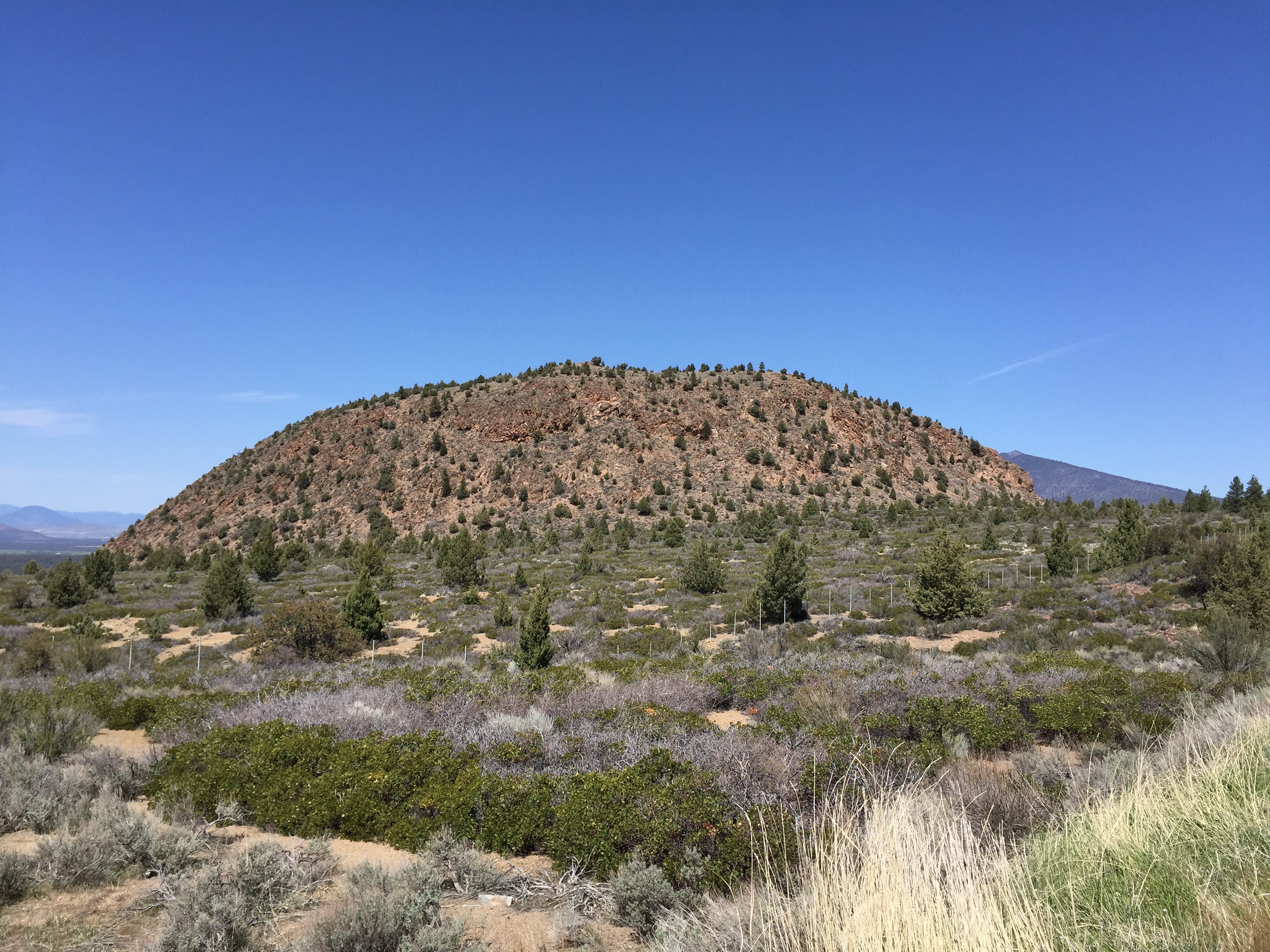
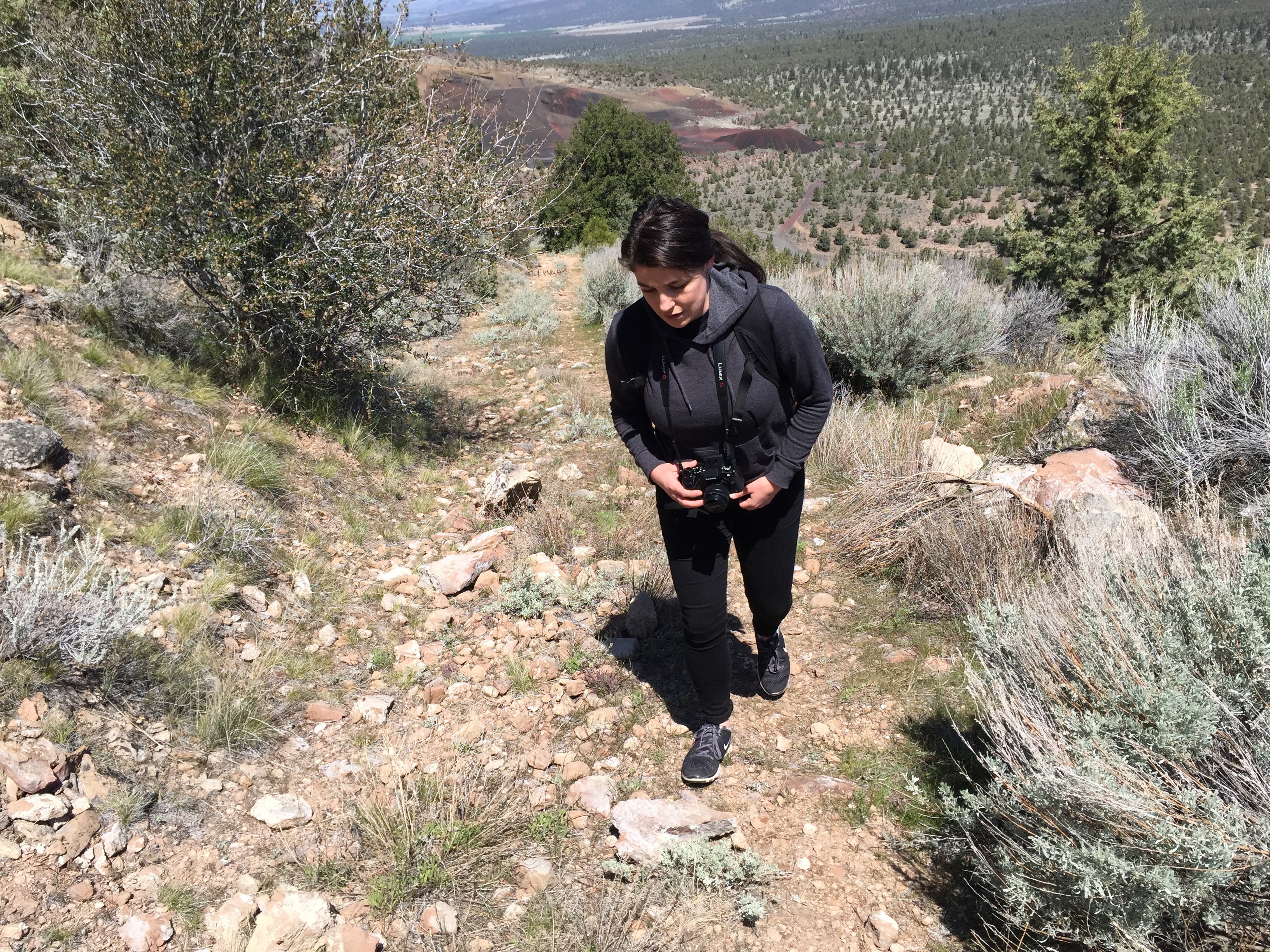
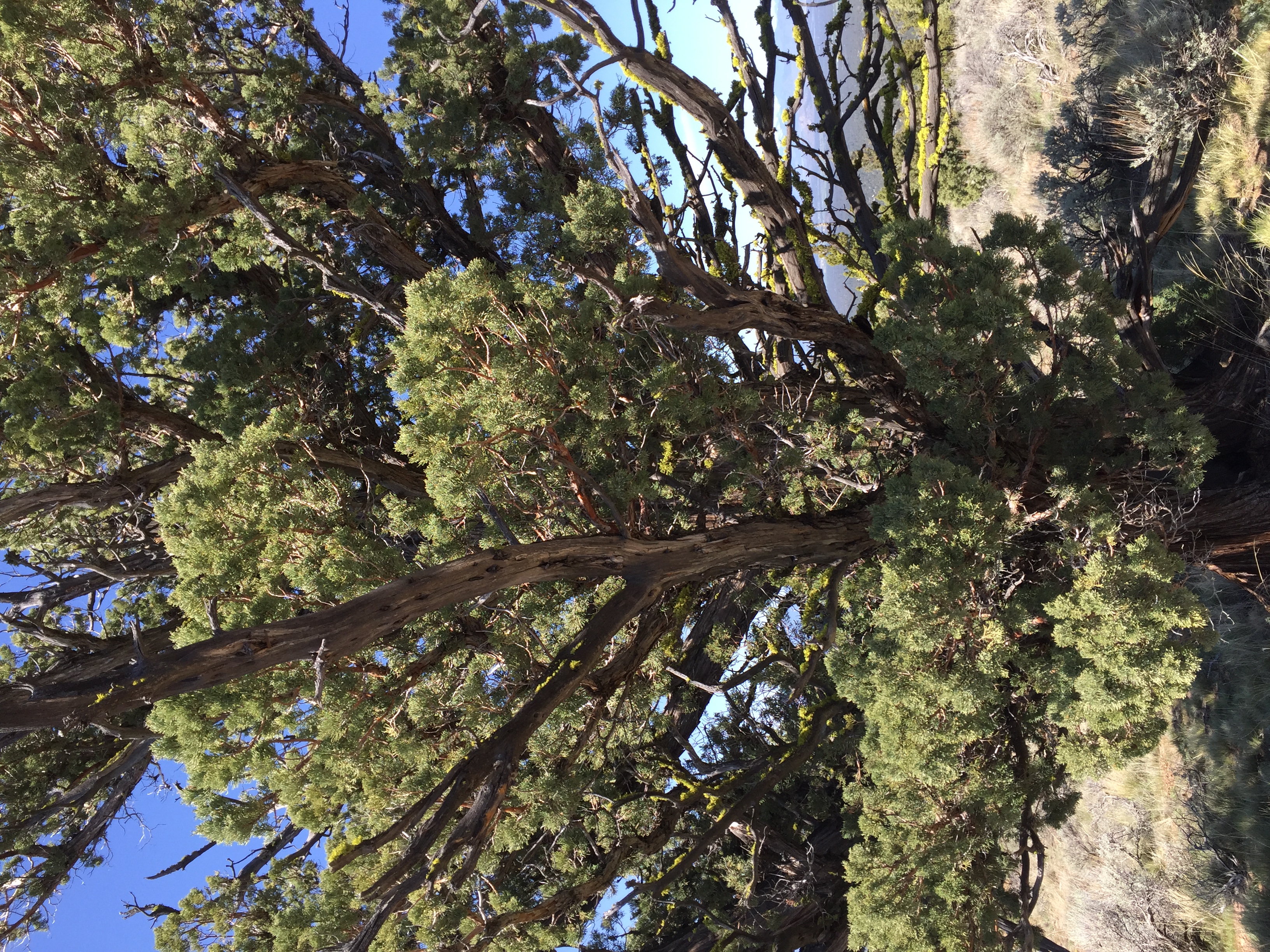
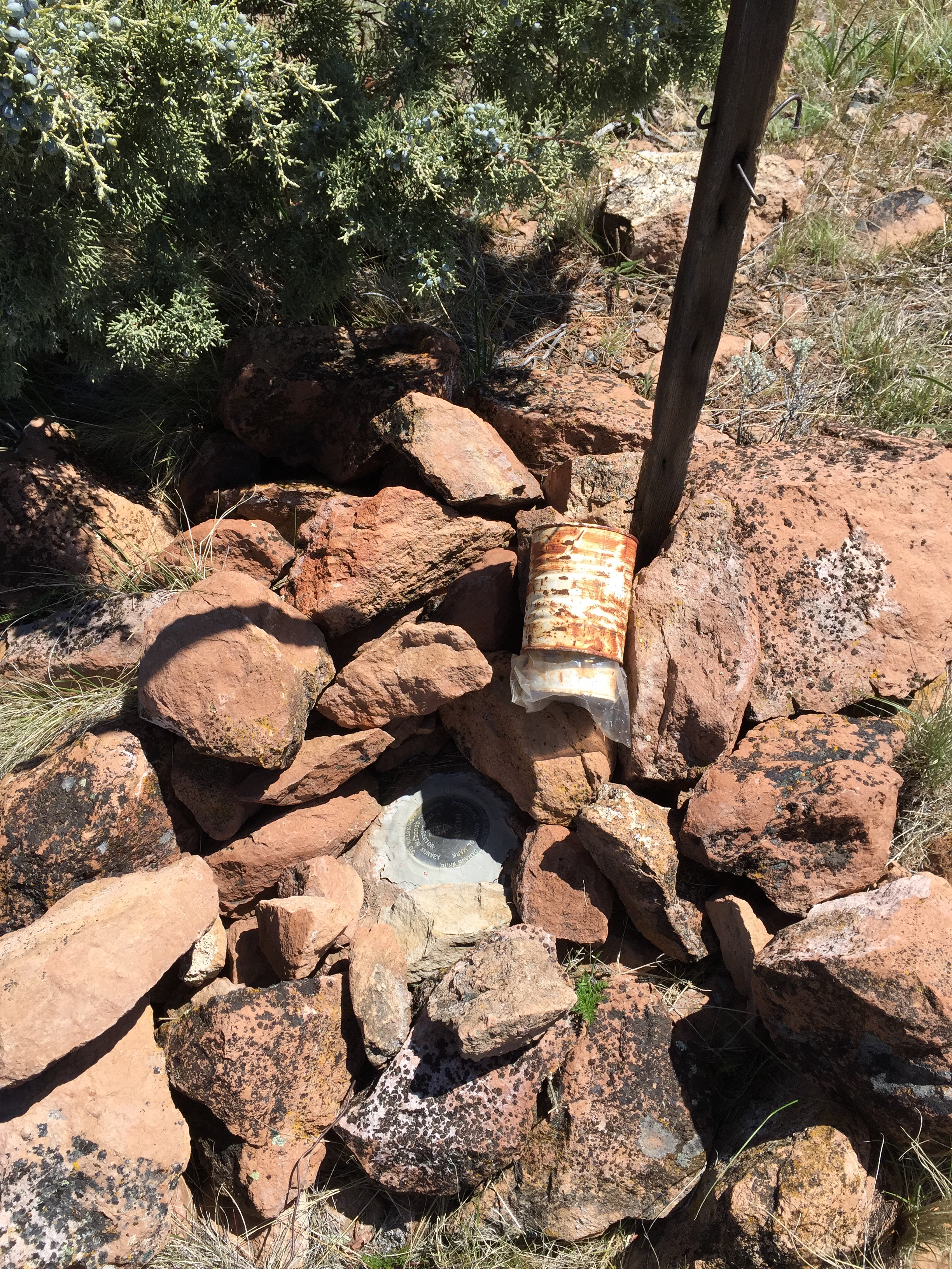
Haystack is a volcanic feature rising above US Route 97 11 miles northeast of Weed. The peak offers wonderful views of Mount Shasta to the south, the Trinity Mountains to the east, and the Mount Shasta Valley to the north. The trail is an overgrown 4WD trail to the top. Good parking is just off the highway inside a Forest Service gate. One walks about .4 mile before reaching the actual trail that starts the climb up the east flank of Haystack. The short climb takes a moderate effort to reach the top. The trail circles the rather flat, open top. Vegetation is typical high desert scrub with the scattered juniper tree. There is a high point marked with a cairn with a survey mark underneath and a summit log. The summit log revealed that Haystack is visited every few days by hikers. The distance from the parking area to the high point is about one mile.