Trip date: 9/27/14
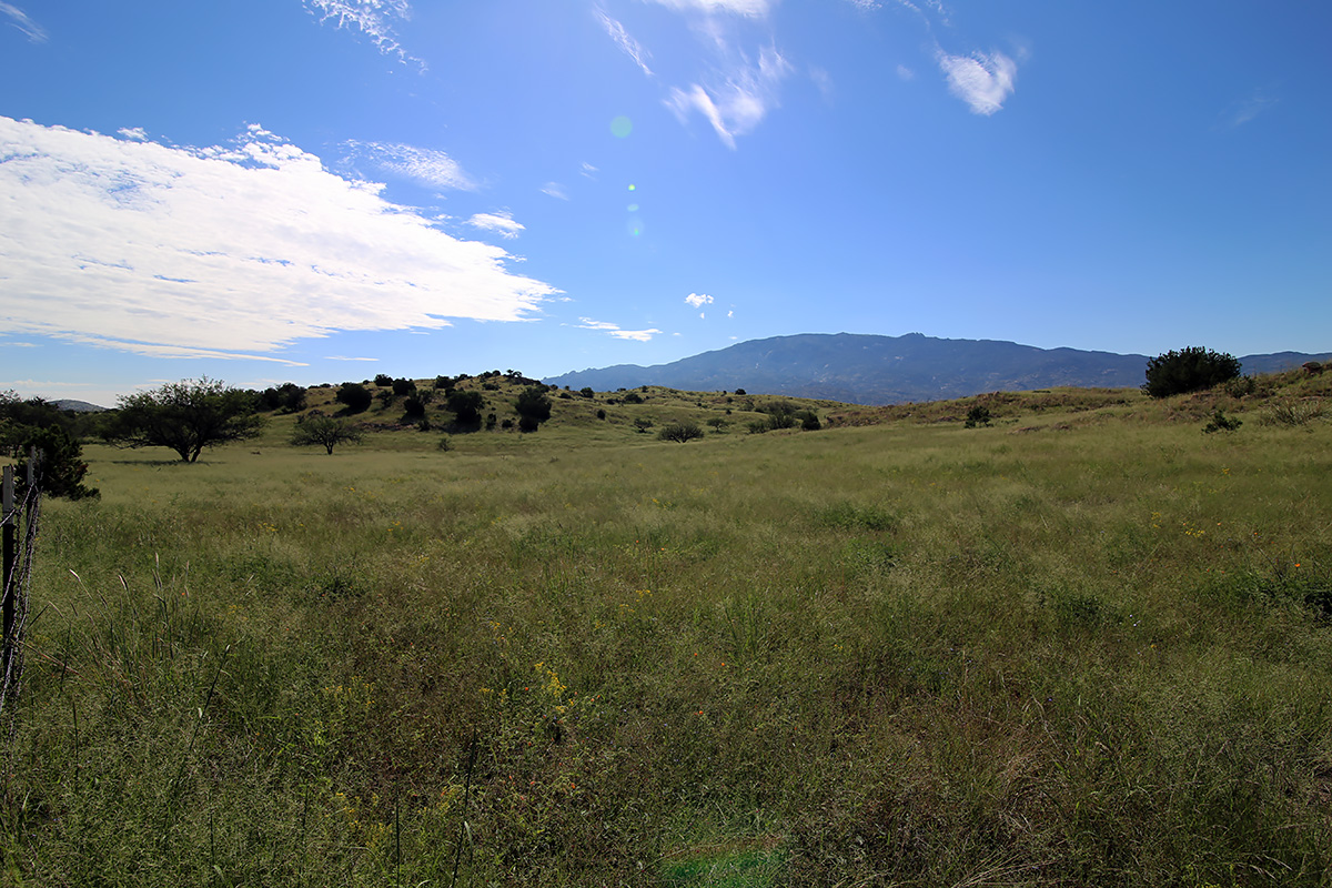
The dichotomy of urbanization and wide open spaces in Southern Arizona has always fascinated me. Within minutes of the hustle and bustle of Tucson, you can find yourself in wide open desert terrain, with an endless view to the horizon; on top of a mountain wilderness, surrounded by towering conifer forests; or in the middle of rural ranchlands and farms, looking more like California’s Central Valley or a Midwest farming state. No more is this apparent than in a drive around the Rincon Mountains east of Tucson.

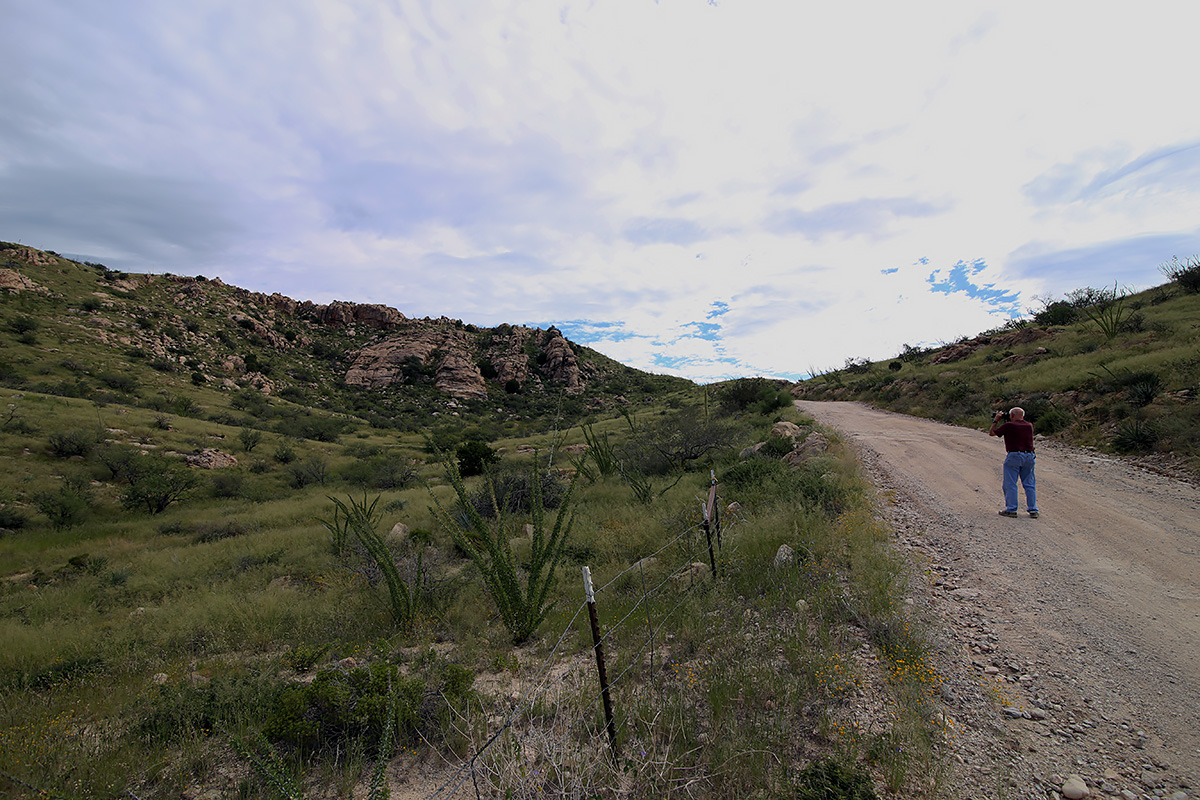
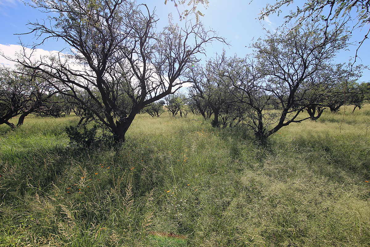
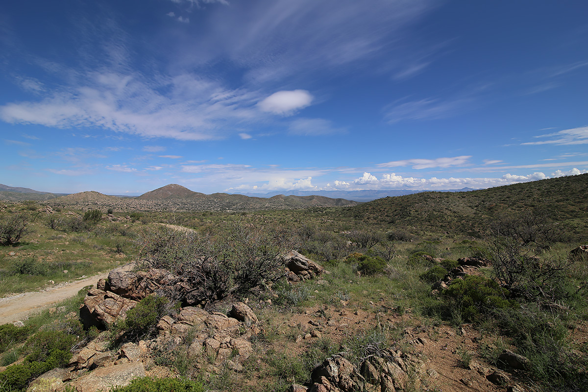
I’ve been in Tucson for 10 years, and have yet to drive from start to finish Redington Road, or circumnavigate either the Catalinas or the Rincons. I had mentioned to my buddy Rob a few weeks ago that I wanted to accomplish these trips, now that I had gotten my Expedition road trip and somewhat off road ready. We decided on this past Saturday to make the trip, with the objective of getting the lay of the land and scouting out stuff for further exploration, as well as taking a few photos along the way. We met at my house on the Eastside and left at 8:20 am. We had a full take of gas, water, ice, donuts, charged batteries for everything, and no deadline to get back. Some clouds floated in the sky ahead, but nothing threatening, so we forged ahead. Since it was a gorgeous morning with relatively low temps, I thought we’d see more people on Redington Road than we did. We ran across a dozen or so souls from a geocaching club who were doing a clean up along the first few miles of the road, a couple of mountain bikers, and a handful of people engaged in target practice. Other than a 4 or five other vehicles, including a Pima County deputy sheriff, we had the entire length of Redington Road to ourselves. The road was in really good shape, save a couple of spots where rain had created small gulleys (maybe 6 inches deep and a foot wide) in the last couple of nights. There were obvious signs that road crews had done some grading and clearing of washes in the last week. The scenery was just stunning. Very green vegetation was abundant, from thick grasses coating the top of the pass to plump saguaro and dark green ocotillo. Wildflowers were everywhere. We made our way along rather slowly, as we stopped along the way to take pictures and check some side roads out. Just below east of Piety Hill we stopped to drink our coffee and devour our donuts. This video is a view to the east with the Galiuro Mountains across the valley
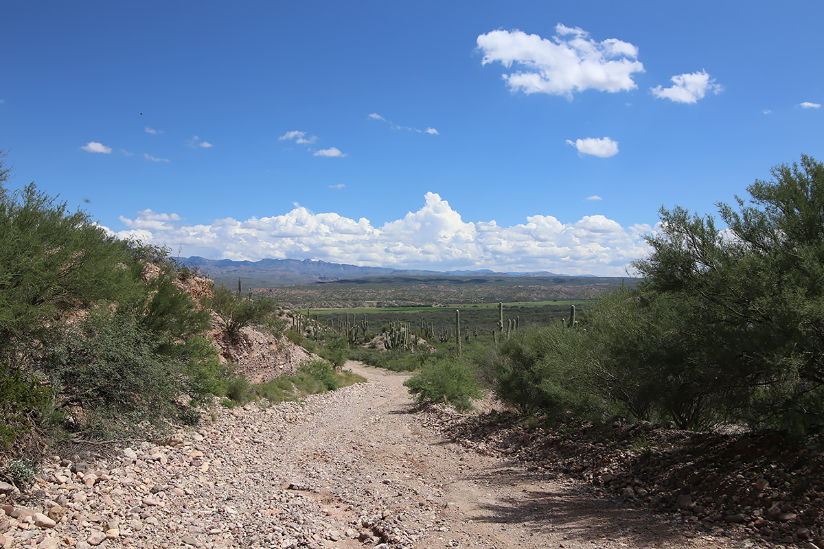
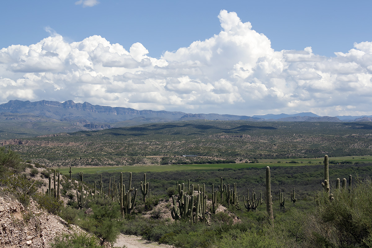
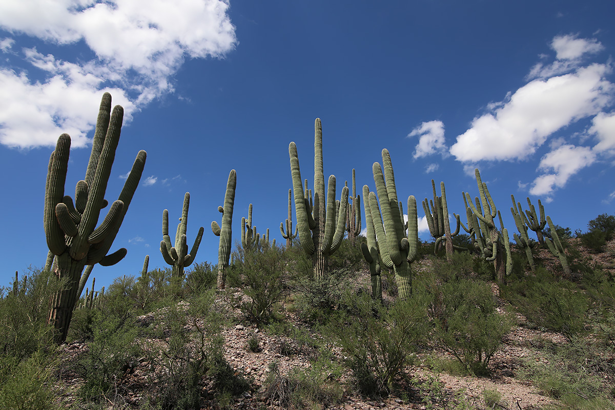
As we finished the descent into the San Pedro River Valley, we came across a magnificent stand of heritage saguaros that cried out to be photographed. Video:
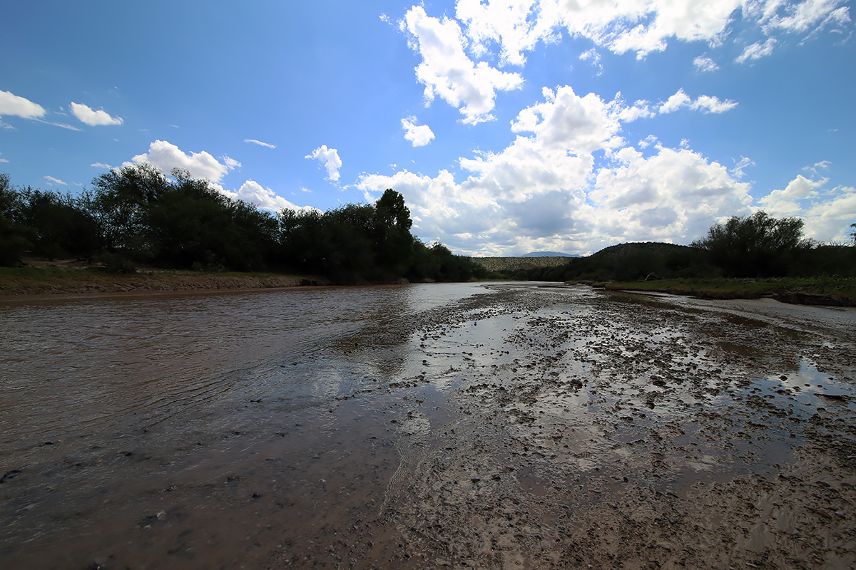
We wanted to cross the San Pedro at the Redfield Canyon Road.
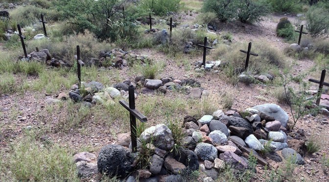
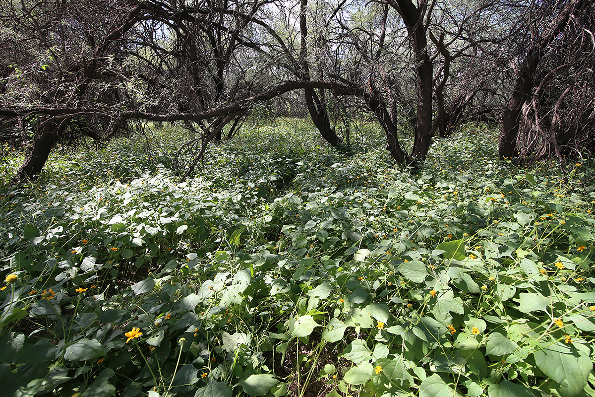
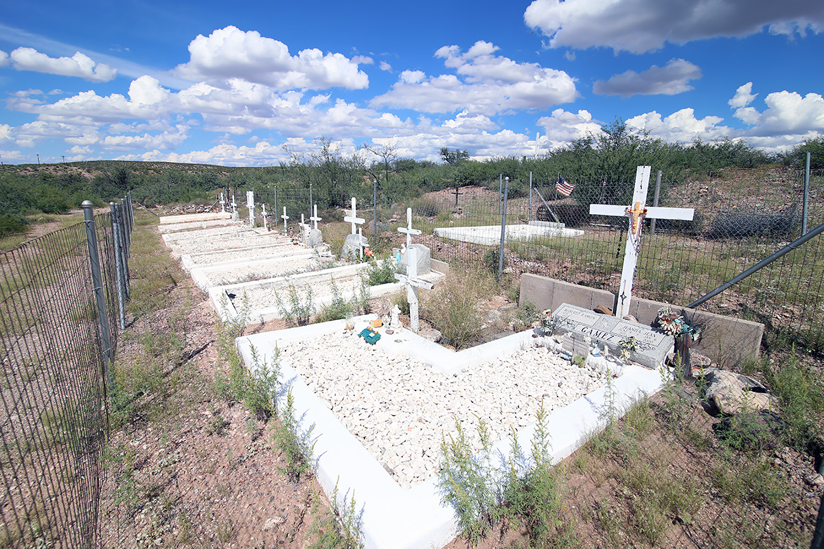
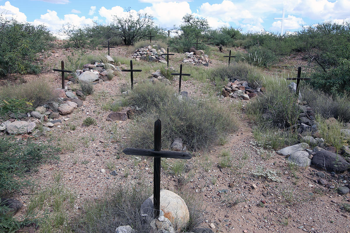
The water was only about 6 inches deep, not swift, and the river bed seemed firm enough, but since we didn’t have a second vehicle to pull us out or any recovery equipment, we crossed further downstream at the bridge. Cascabel Road is in great shape. The valley floor is green and lush. I didn’t expect to see as many residences this far out of Benson as we did. As you would expect, the people we did see reflected the cross section of those you find in rural Arizona – from ranchers to retirees to old hippies to those trying to stay off the grid. Everyone seemed friendly and waved at us, whether from a passing vehicle or from their front gate. Just south of the Spear Ranch I had noted a cemetery on the topo map on the east side of the road. Along this stretch the road was line on both sides by a bosque, which on the east side of the road climbed up a short bluff. I jumped out of the truck and wound my way up the hillside through some brush until I came to a fence about 60 feet off the road. Going through the barbed wire I proceeded another 25 feet until I topped the bluff and wa-lah! there was the graveyard. I had only brought my iPhone up the hill, so I went back to the truck to retrieve my camera and Rob, because he had to see this. As one can see in the photos, besides several modern graves, there are 29 unmarked graves that have to date back to the 1850’s. In a history written by Tess Gamez, of the family that owns the land on which the cemetery sits, it’s not known what year the graveyard was established, or what persons are buried in the 29 unmarked graves.

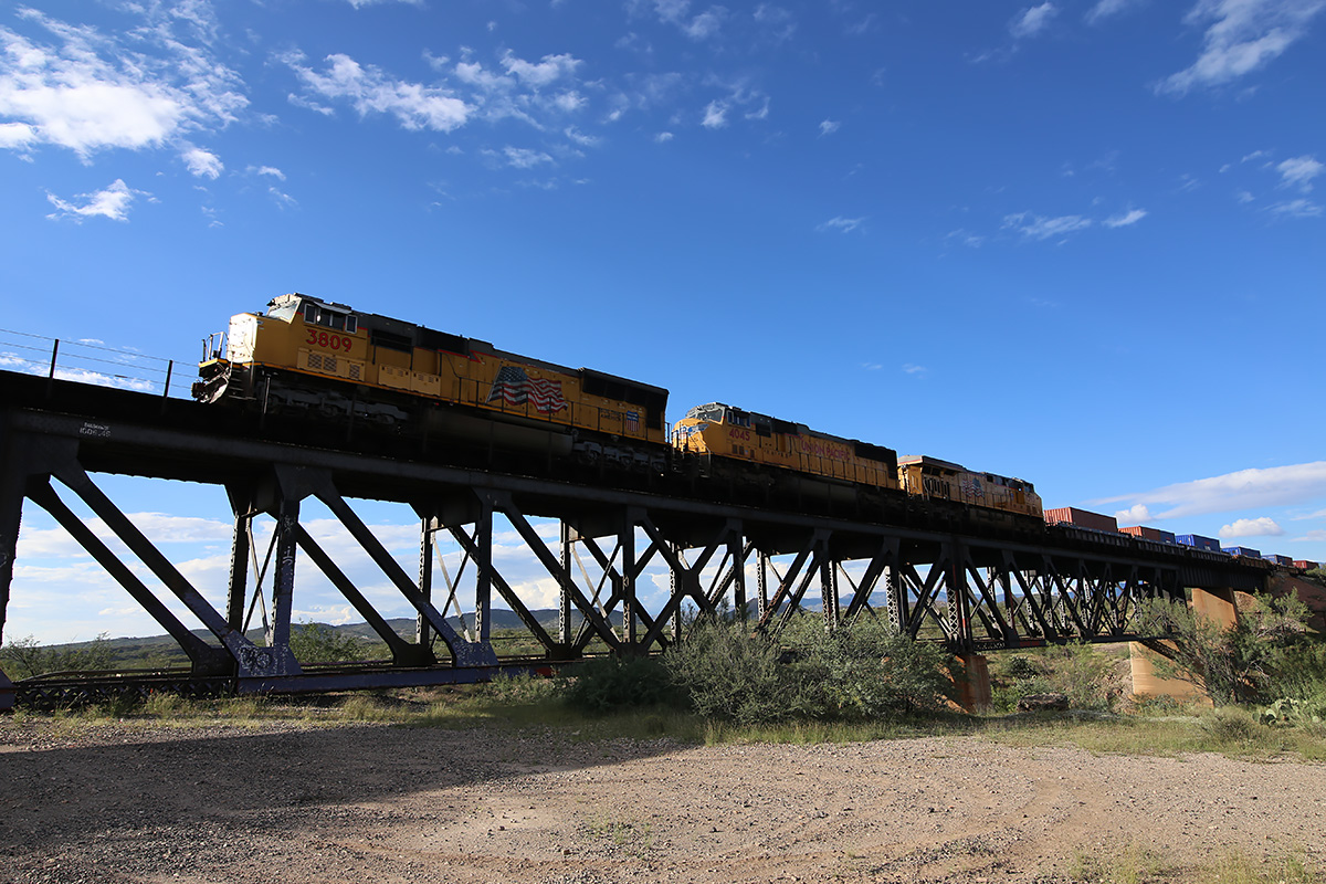
We had thought of completing the trip to Benson in about 3 to 4 hours so we could lunch there, but we stopped so often that we found ourselves at the Gamez Cemetery around 1 pm. From there, we left off making any more stops (for the most part), reaching Benson around 3. Rob suggested we eat at the Horseshoe Café. I had never eaten there. Wow, we had quite a meal! While the burgers and sandwiches sounded great, they start serving dinner at 3 on Saturday, so Rob had meatloaf, mashed potatoes, and a salad, while I had liver, bacon, and onions, baked potato, and a salad. The portions were HUGE. Each entrée was only $10. On the way back, we stopped at the Three Bridges area off Marsh Station Road near Vail to photograph a couple of westbound trains we had seen passing through Benson. We finally got back to my house at 5:20 pm, nine hours after we had left.
It was easy to forget within minutes of climbing Reddington Road that a modern city was behind us. Almost immediately we were met with solitude, gorgeous landscapes, and a sense of what Arizona must have looked like when the first European explorers entered the region. For those that live in the region, life is probably pretty much the same as it was 150 years ago – isolated, dependent upon water, neighbors, adaptability, and endurance. Even with Tucson or Benson 40 or 50 miles away, you get a sense that you are a long ways from nowhere.