Tag Archives: historic highways

Historic Highways: Old US 99, Weed, CA

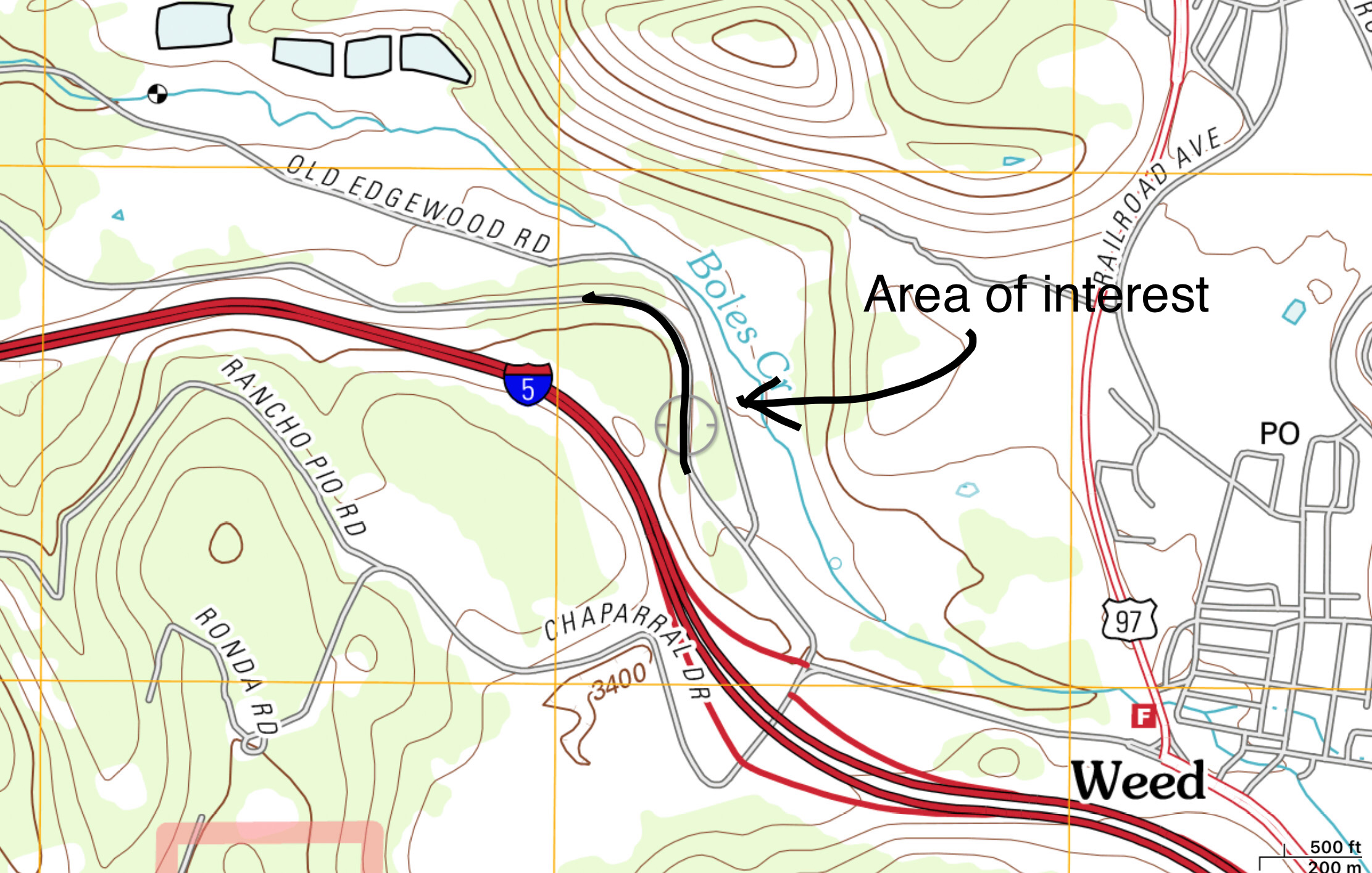
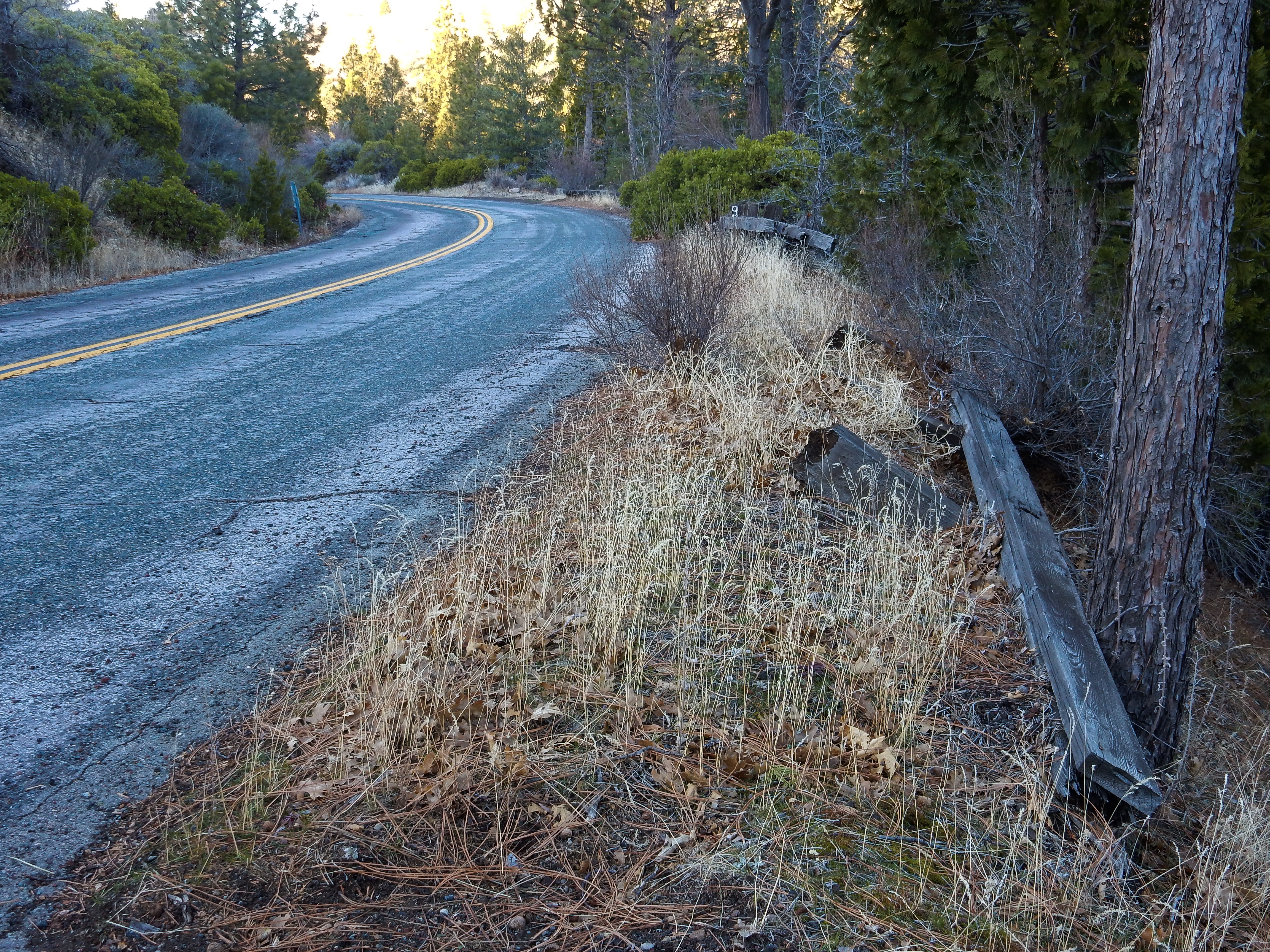
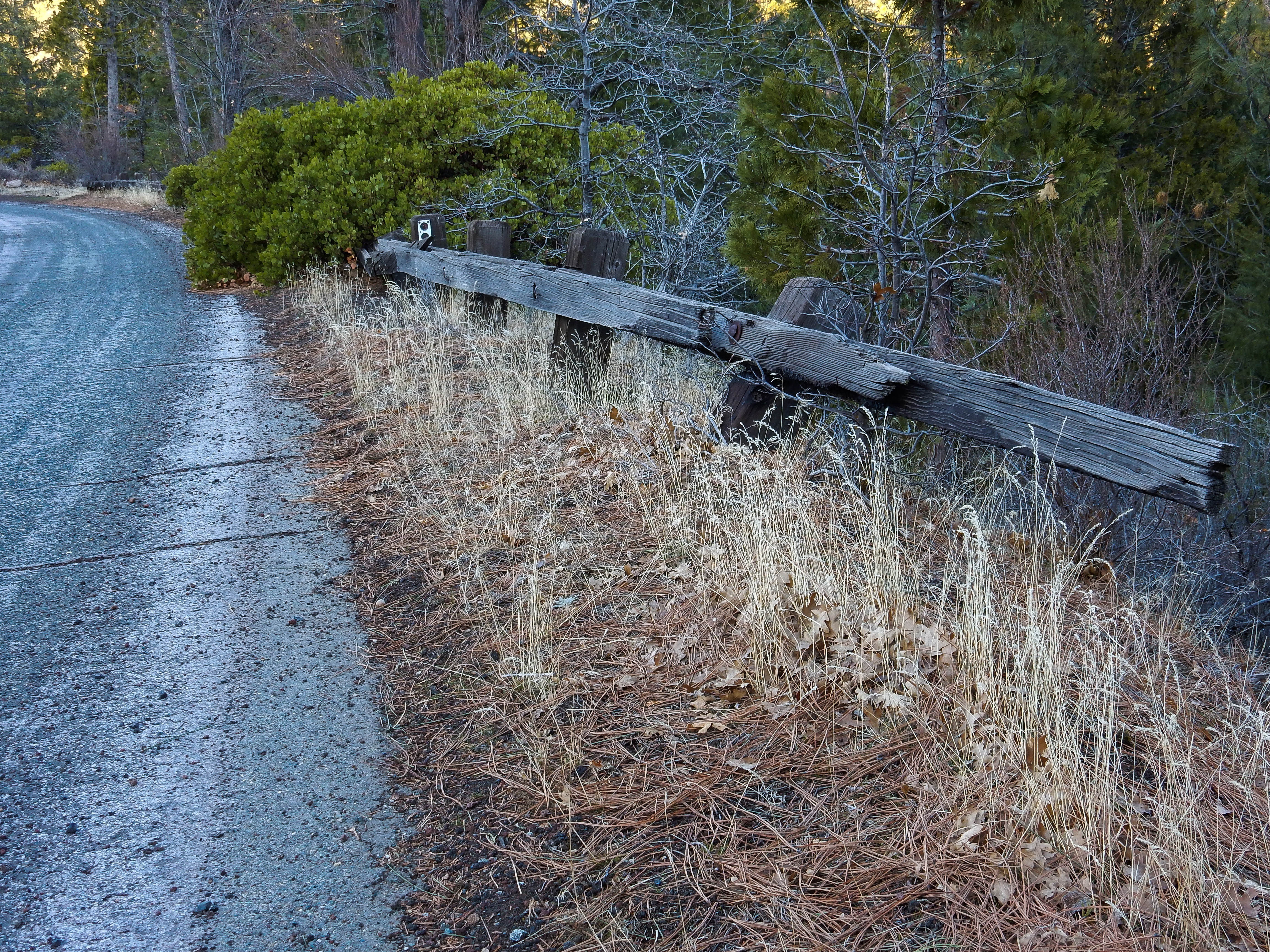
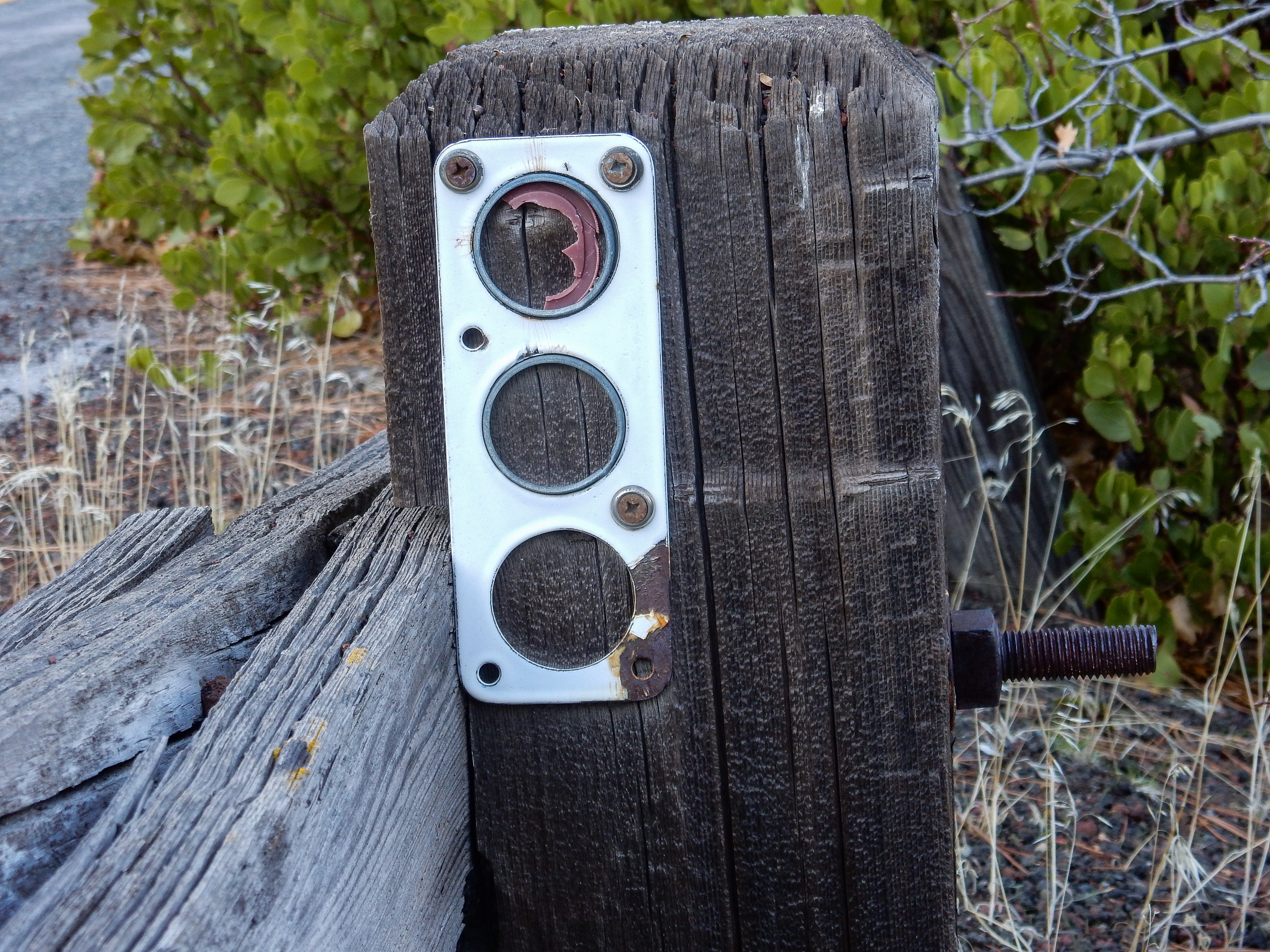
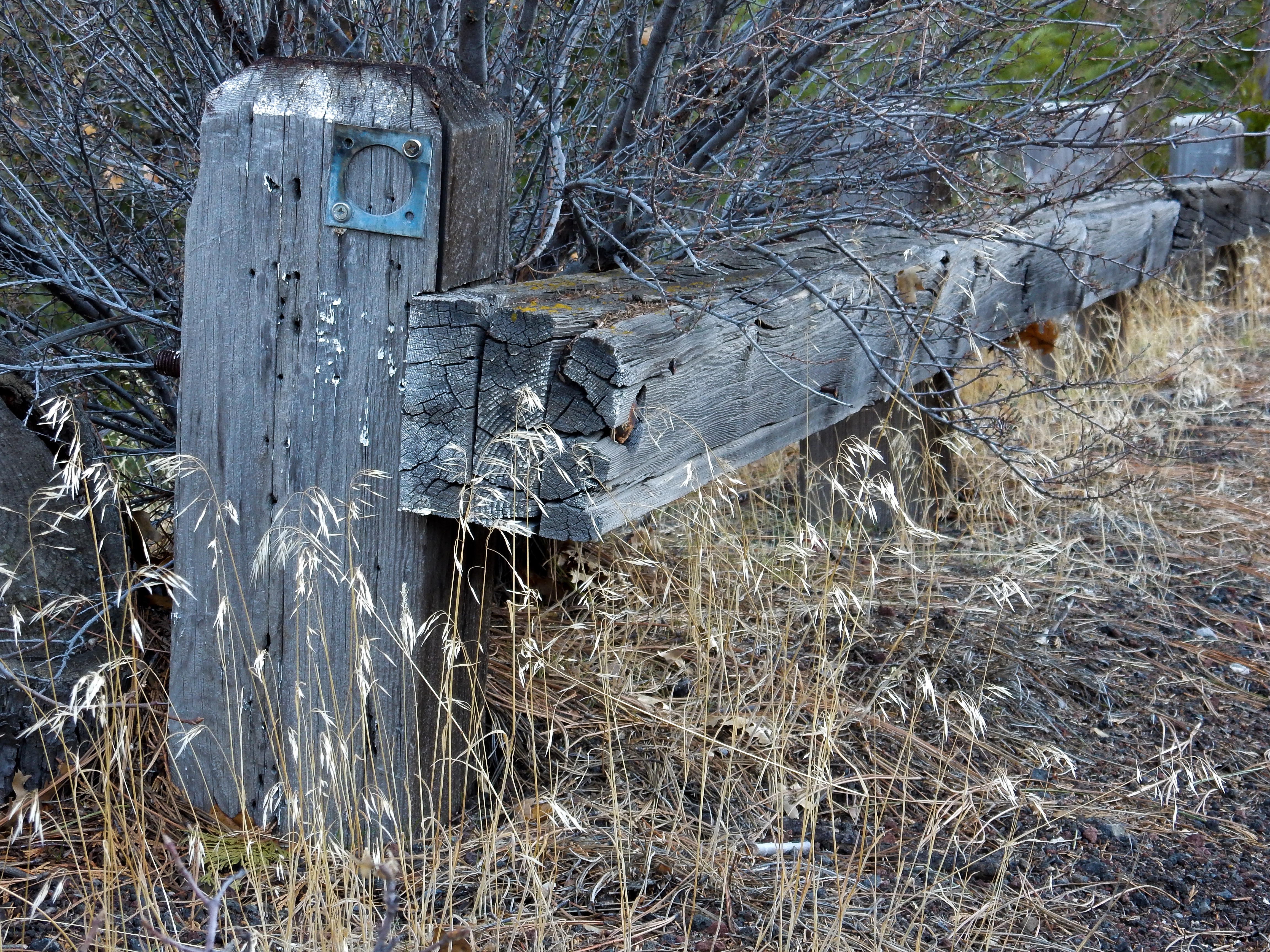
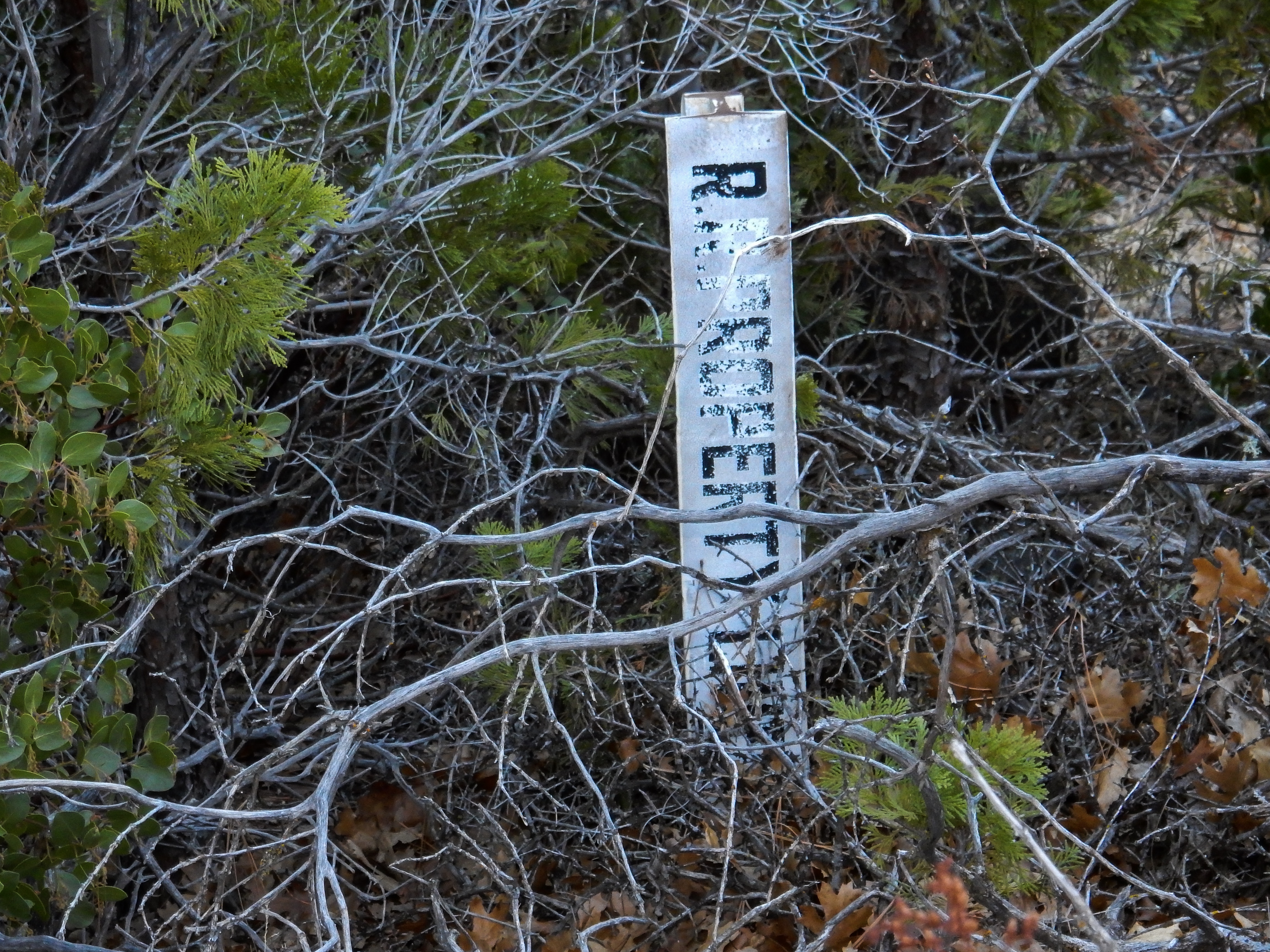
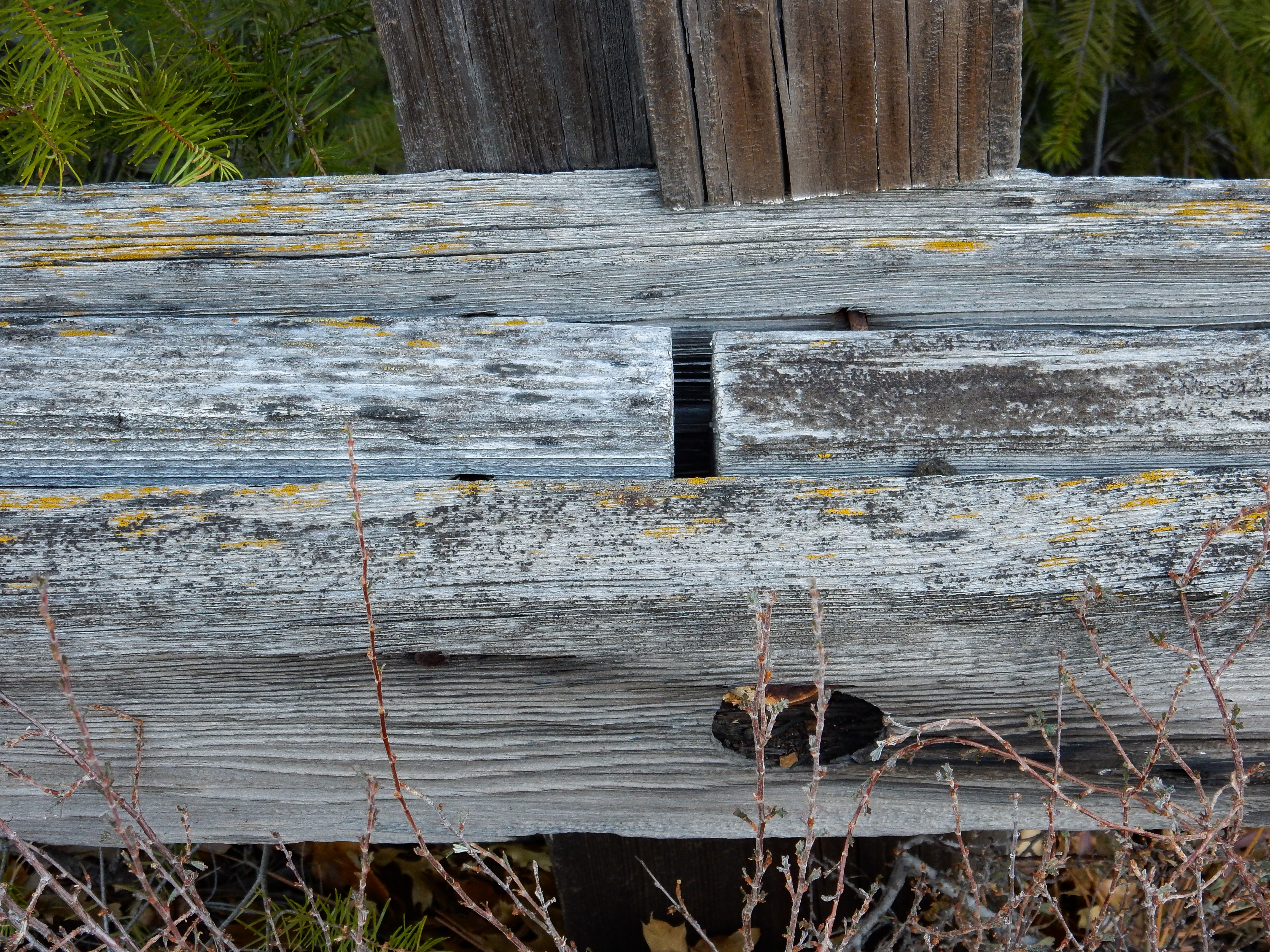
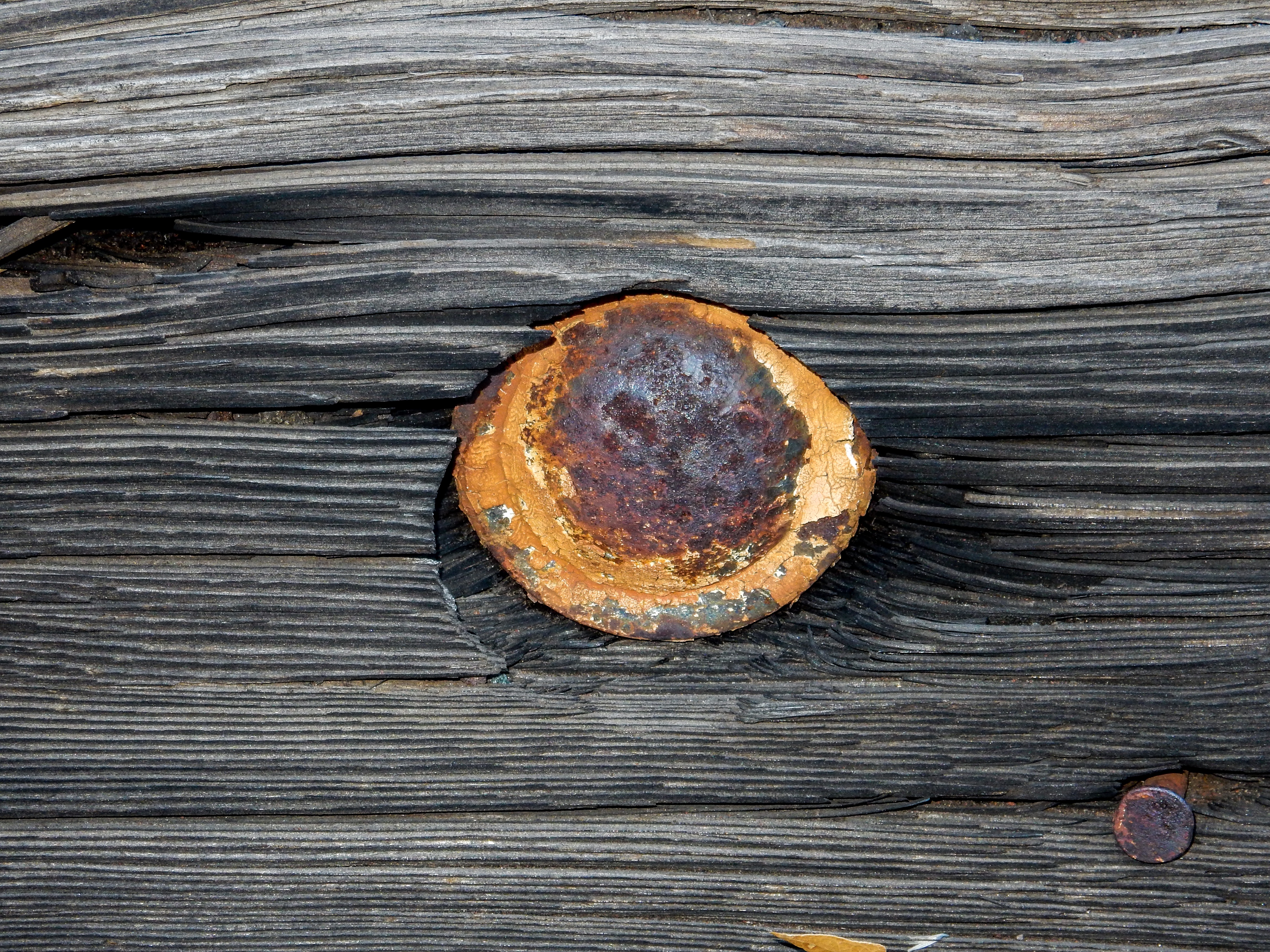
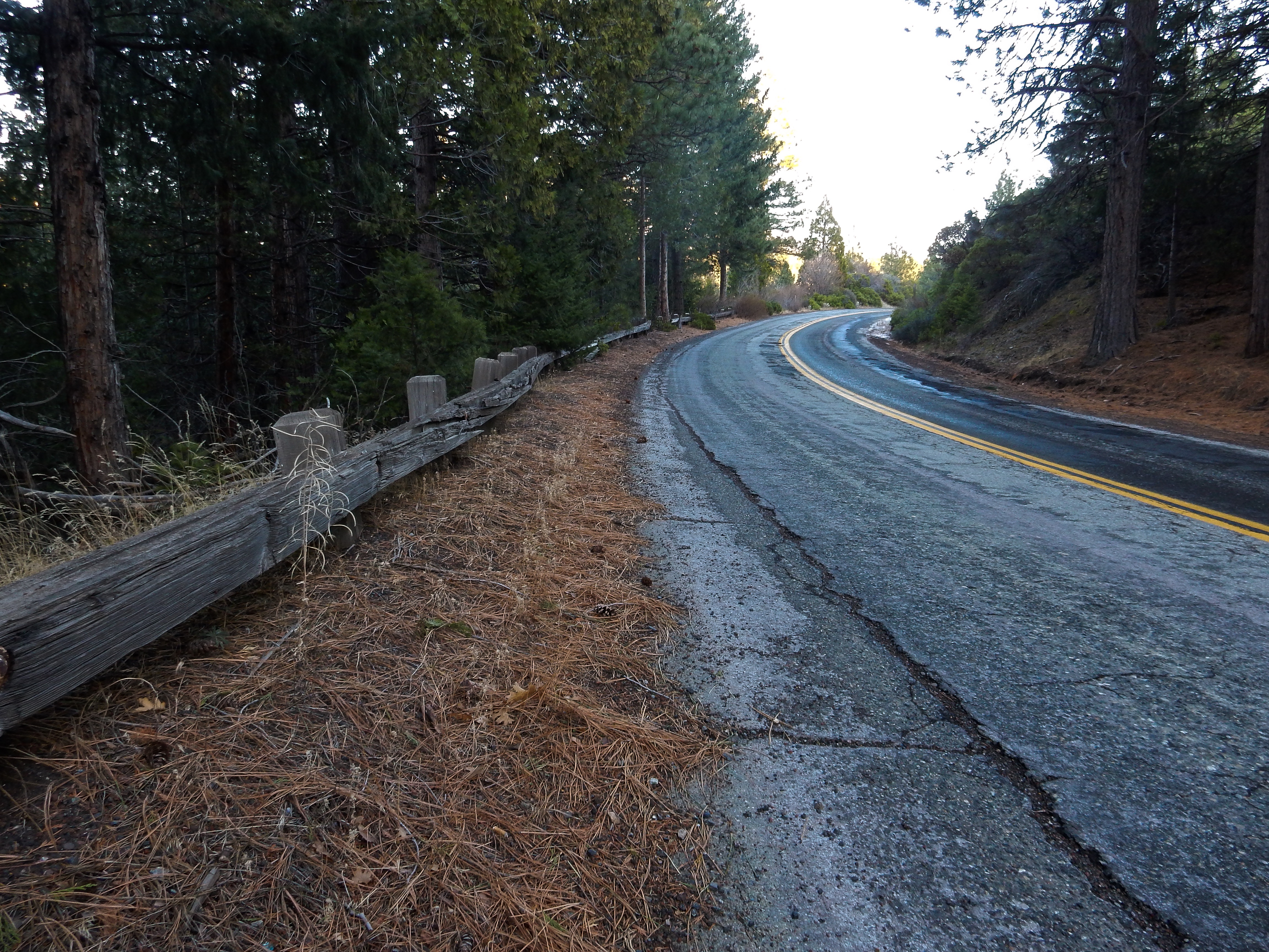
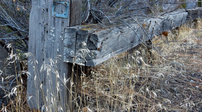
I spent an hour or so this afternoon exploring a small section of Edgewood Road going north out of Weed. This used to be US Route 99, before Interstate 5 was built and replaced Highway 99.  I concentrated my efforts on one curved section of the road, examining old wooden guard rails, and looking for “C-blocks”, which are old California Division of Highways survey monuments. I did not find any, but I’ll return and spend a little more time in the brush looking for any that might exist.

The general location of my efforts was 41.43049, -122.39933

1954 USGS 15 minute topographic map showing the US 99 alignment.
2010 USGS 7.5 minute topographic map showing the US 99 alignment next to Interstate 5.
Heading north into the curve. Broken wood guard rail is on the right.

Reflector bracket.

Railroad property line markers delineate the old highway right of way on east side. These should assist in locating any “C-blocks”.
The rail is actually comprised of three pieces of layered lumber.
Bolt head.
Retaining nut.

Guard rail at the north end of the curve (looking south).