Tag Archives: California

Yellow Butte, Siskiyou County, CA

Looking south to Mount Shasta from the Yellow Butte high point. The middle and south peaks of the ridge line can be seen in the center.
Trip date: May 4, 2017

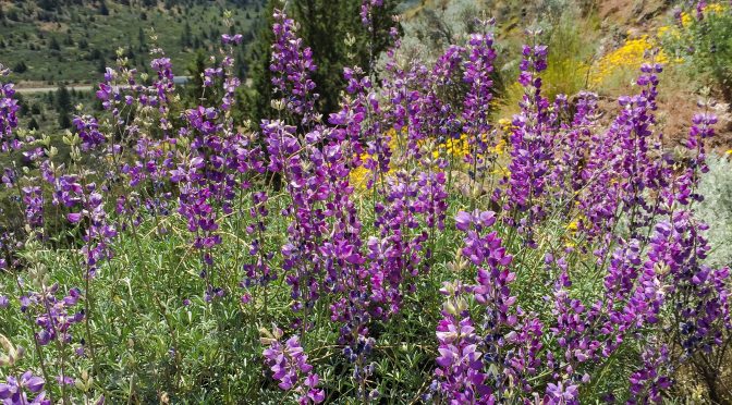
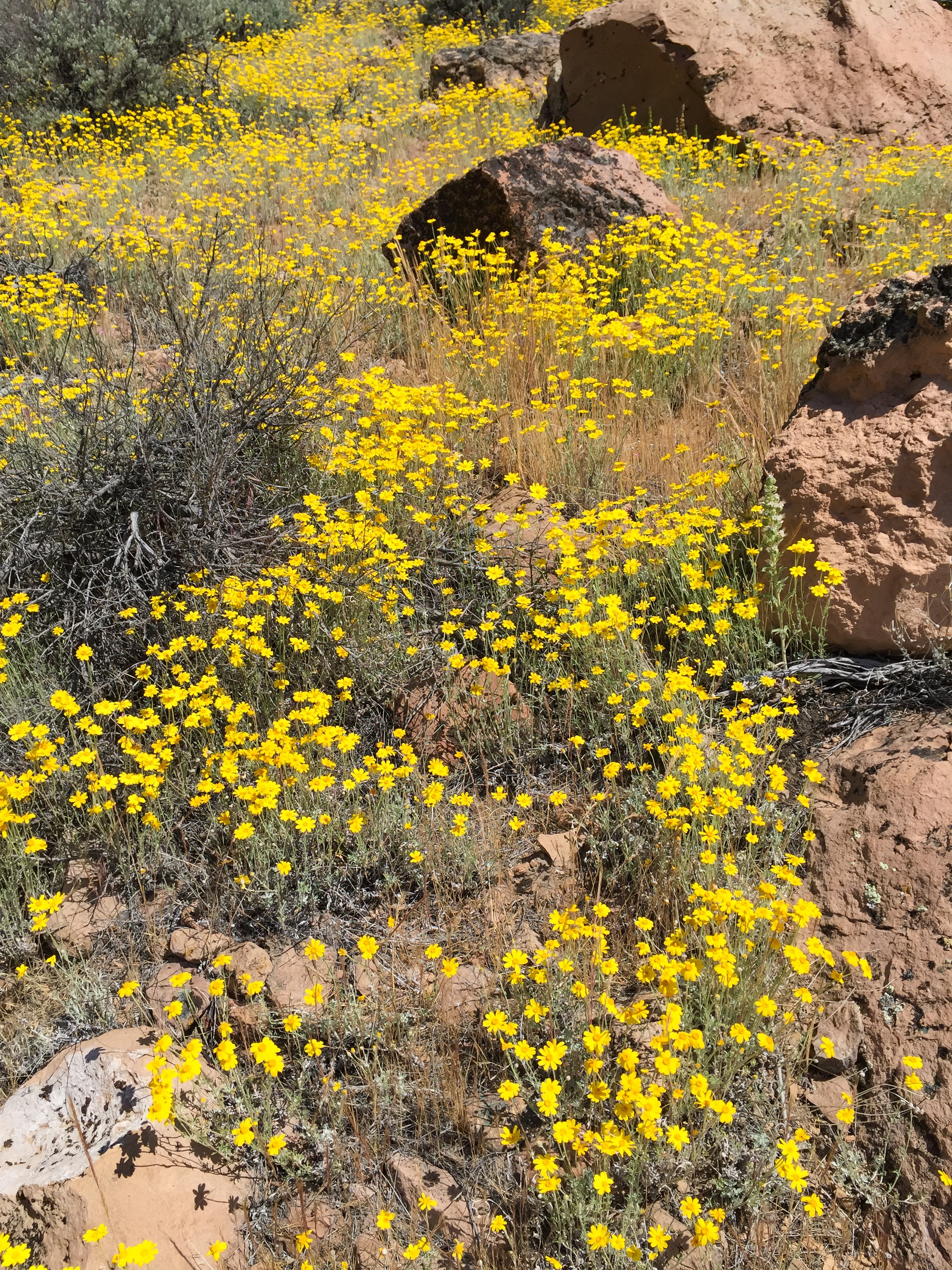
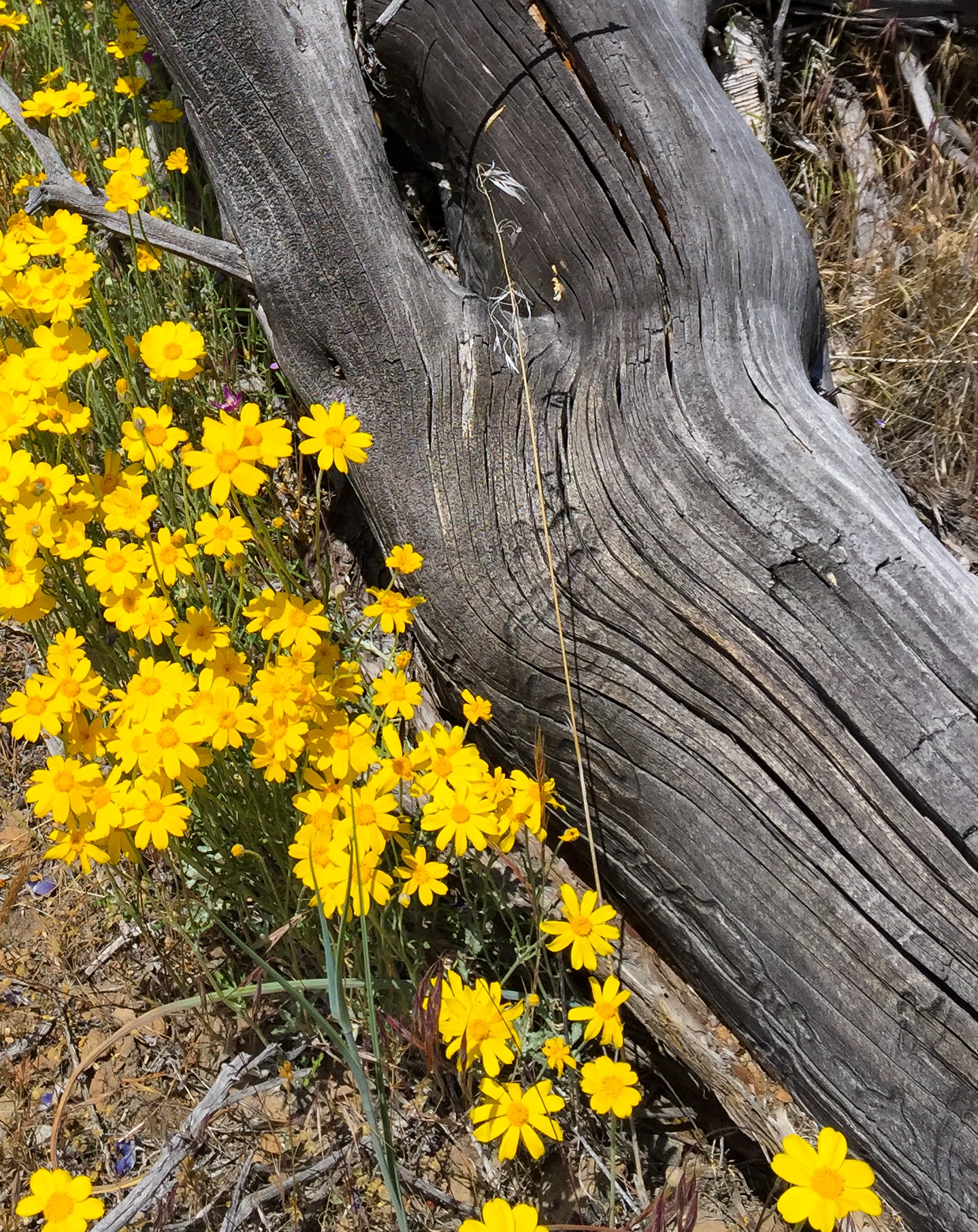
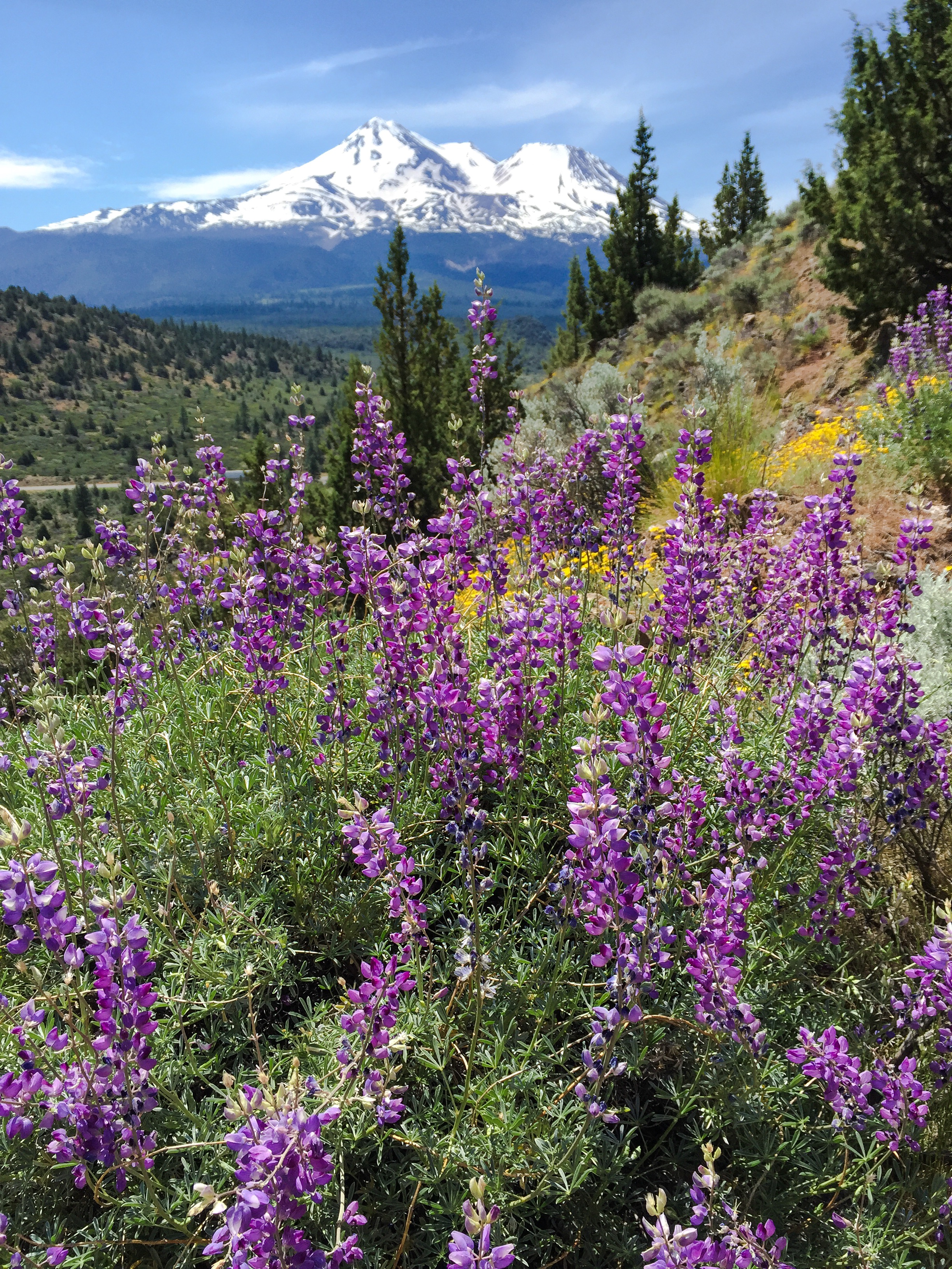
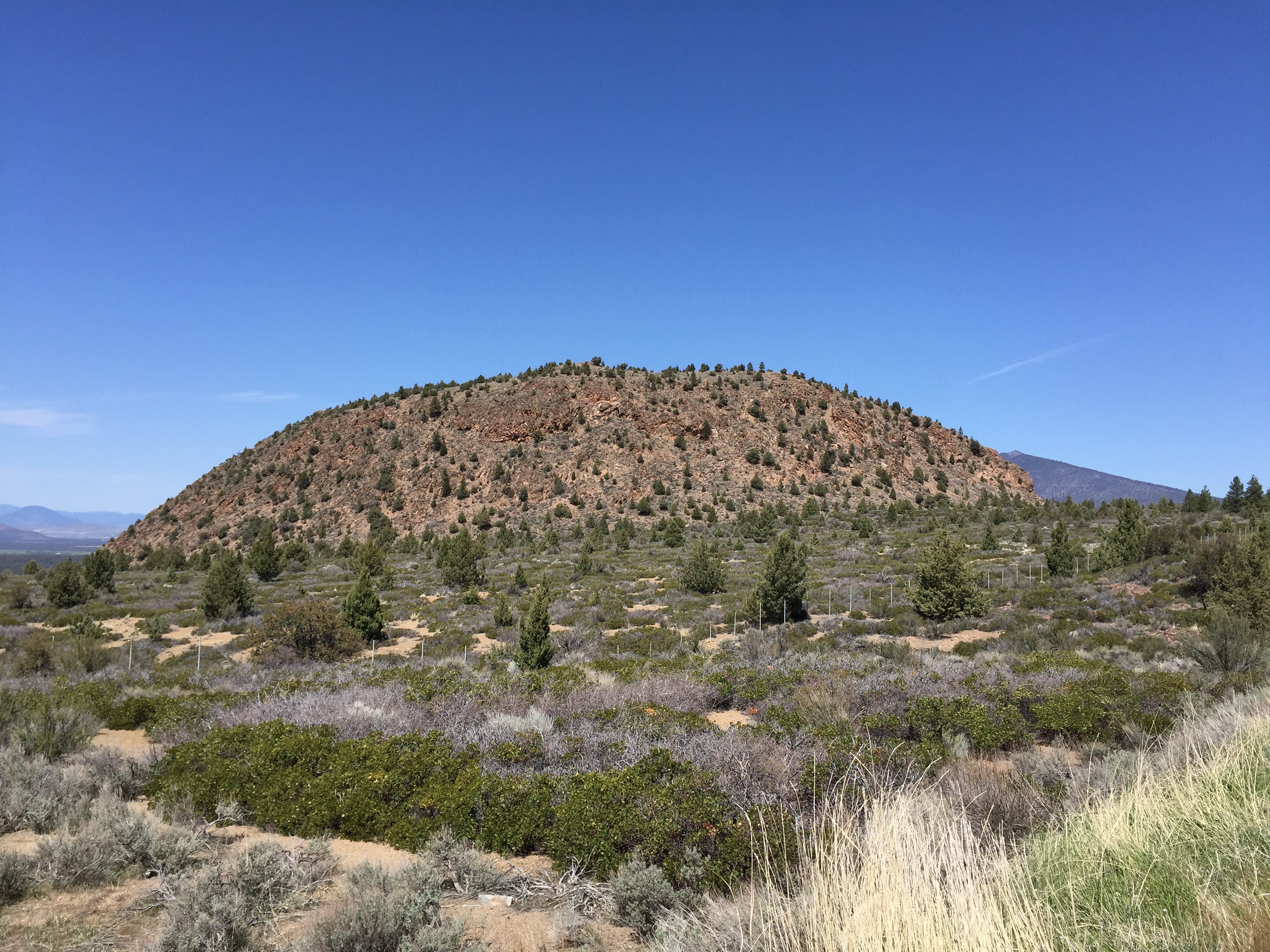
Yellow Butte is a hill on the north side of US Highway 97 about 12 miles northeast of Weed. Unlike other nearby peaks which are some kind of volcanic feature (dome, cinder cone or shield volcano), Yellow Butte is an uplifted complex of intrusive igneous and metamorphic rocks. This makes for some interesting quartzite outcrops on the top of the hill, and the unexpected diorite pluton along the first third of this route I hiked today.

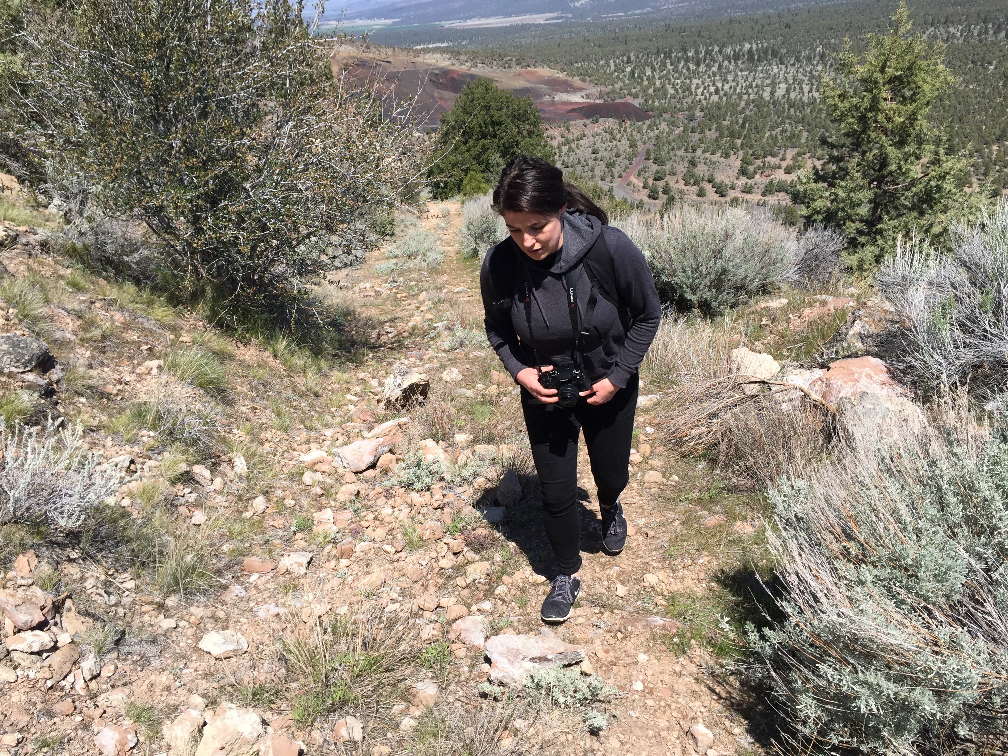
Yellow Butte is actually more of a ridge, with three distinct peaks, the northernmost being the highest.  The route I’ve seen described elsewhere is a 3 mile round trip starting inside a Forest Service gate alongside Highway 97 that traverses the west side of the hill. Because my available time was short, I chose a shorter route on the east side of the hill on Yellow Butte Road, a narrow, dusty two-track off of 97.  This route proceeds up to saddle area between the middle and north peaks. Truth be told, both routes to the peak are old two tracks themselves – in fact, one could drive to the summit in a 4WD high clearance vehicle. But, as I got near the top, I encountered a guy camping in a beat-up, 30 year old, 2WD, low clearance Chevy van at the top – so don’t I guess I don’t know what I’m talking about.

Summit area of Yellow Butte high point.
Quartzite outcrop atop Yellow Butte.
Looking west at Haystack (left) and cinder cone 3924 (right).
Thistle along the trail.


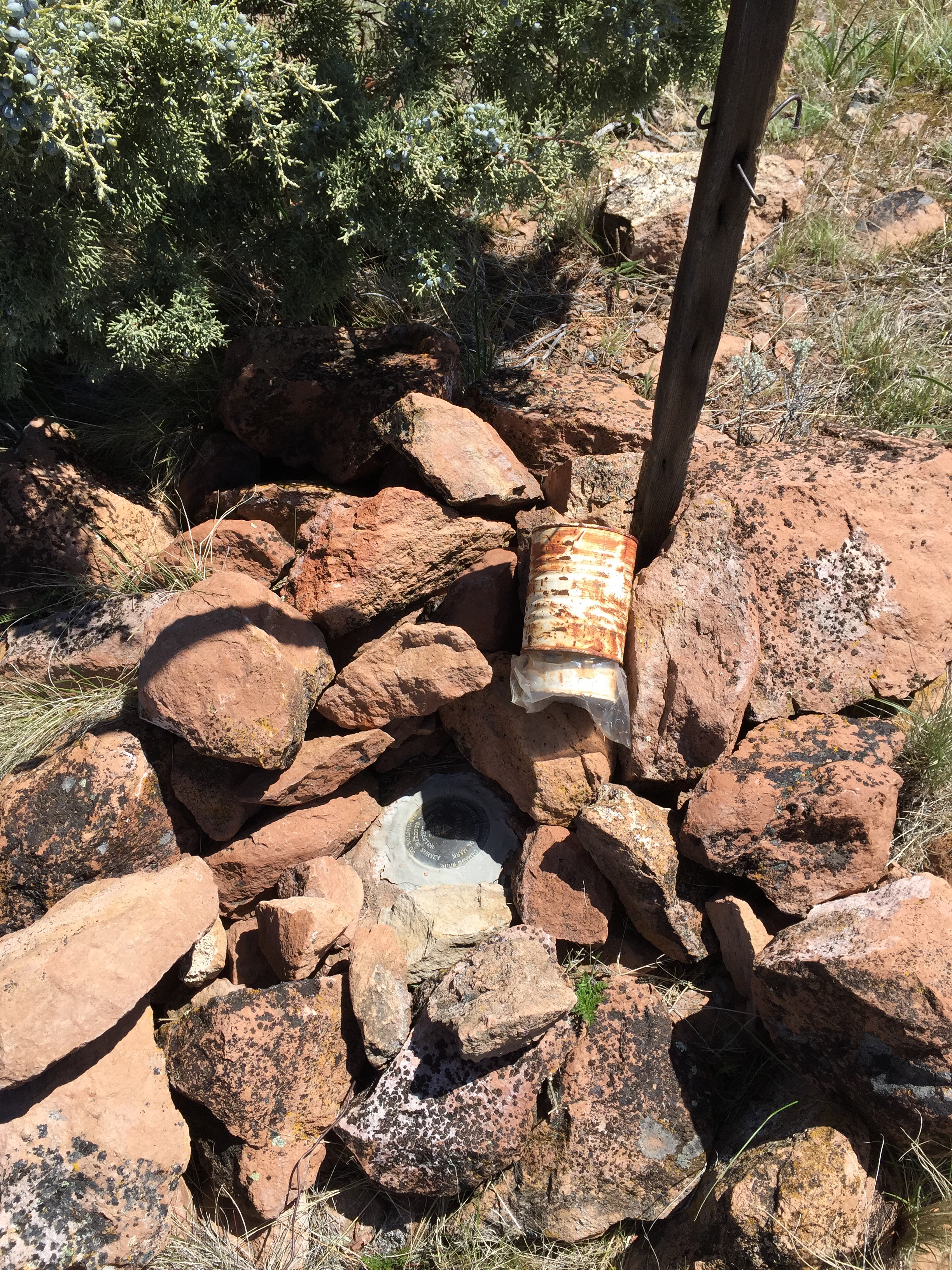
I could not locate a survey triangulation mark indicated on some older topo maps. Neither could I find a summit log, so I left a new one behind.

NOTES:

Trip time is about 25 to 30 minutes each way.

For an excellent discussion of the geology of the lower Shasta Valley, see a masters thesis by Joseph Holliday, “The bedrock geology of the southeastern Shasta Valley, Siskiyou County, California”


Haystack

No needles involved, just a great little hike
Trip date: April 21, 2017

Haystack is a volcanic feature rising above US Route 97 11 miles northeast of Weed. The peak offers wonderful views of Mount Shasta to the south,  the Trinity Mountains to the east, and the Mount Shasta Valley to the north. The trail is an overgrown 4WD trail to the top. Good parking is just off the highway inside a Forest Service gate. One walks about .4 mile before reaching the actual trail that starts the climb up the east flank of Haystack. The short climb takes a moderate effort to reach the top. The trail circles the rather flat, open top. Vegetation is typical high desert scrub with the scattered juniper tree. There is a high point marked with a cairn with a survey mark underneath and a summit log. The summit log revealed that Haystack is visited every few days by hikers. The distance from the parking area to the high point is about one mile.

Haystack as seen from US Route 97.
My hiking partner & daughter, Claudia, on the trail as it climbs the east flank of Haystack.
Old growth juniper dots Haystack.
Summit cairn with benchmark and summit log.
Panorama from east to west, with Mount Shasta to the south. The Whaleback is to the left of Mount Shasta, and Mount Eddy is to the right. Click on the photo for a larger view.
Mount Shasta as seen from Haystack.