BUTTE COUNTY, CALIFORNIA SURVEY MARKS

(last edit 15 February 2022)

J 847

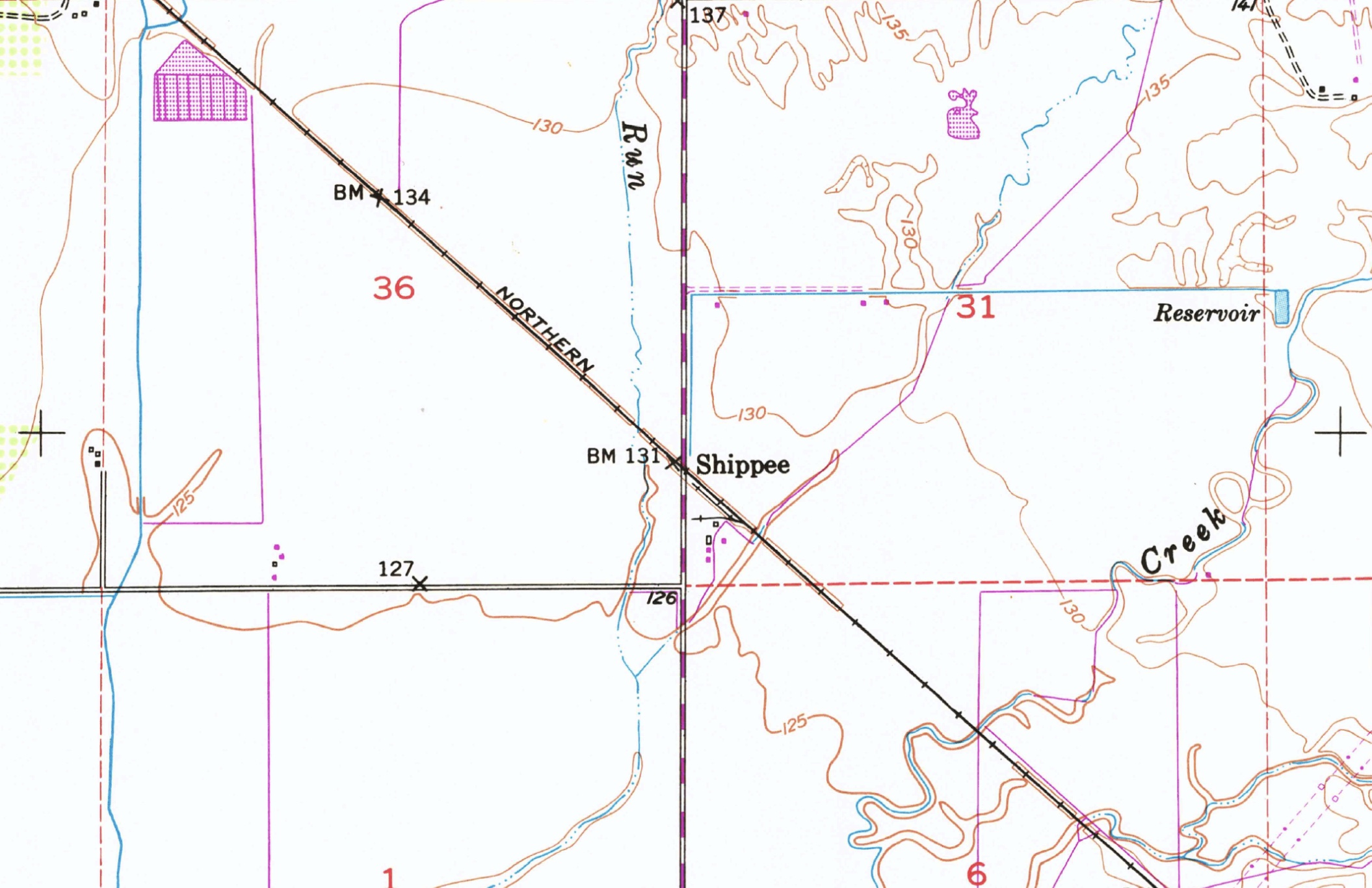
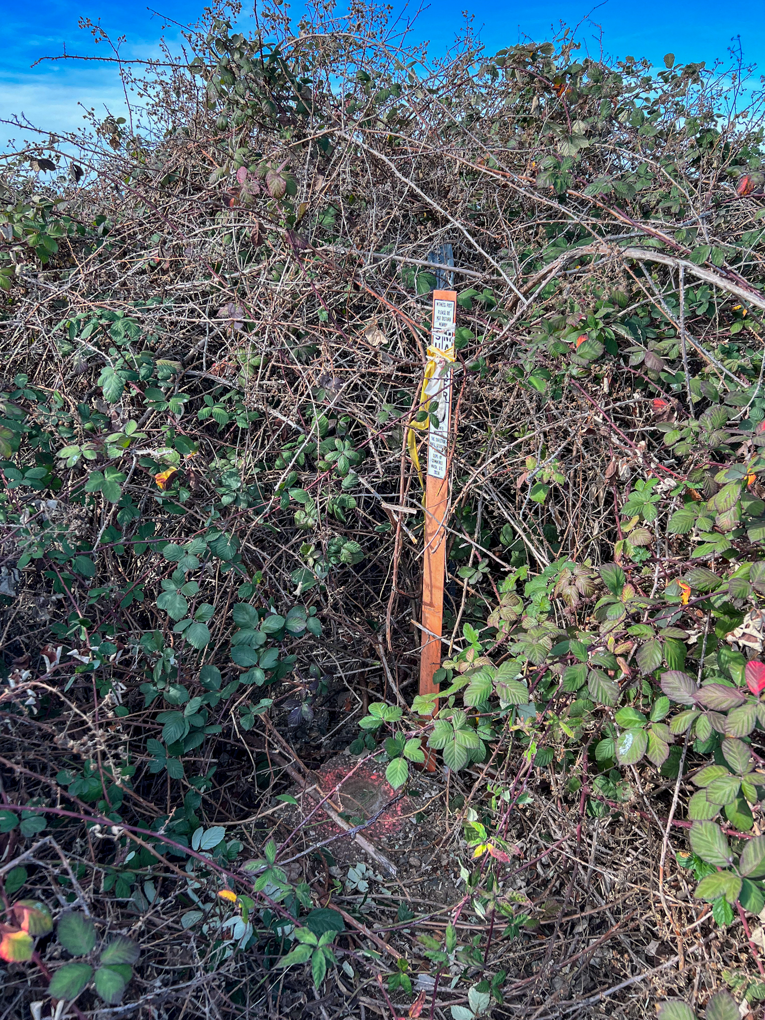
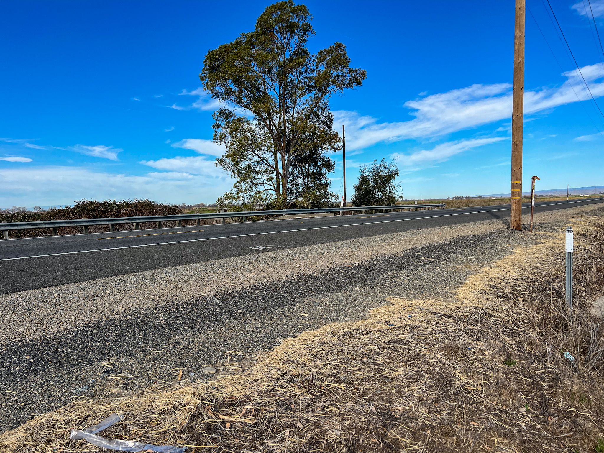
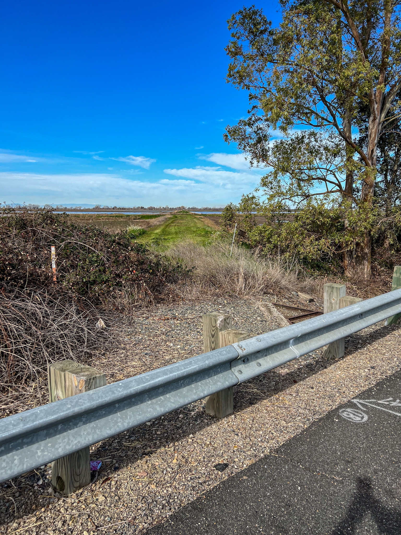
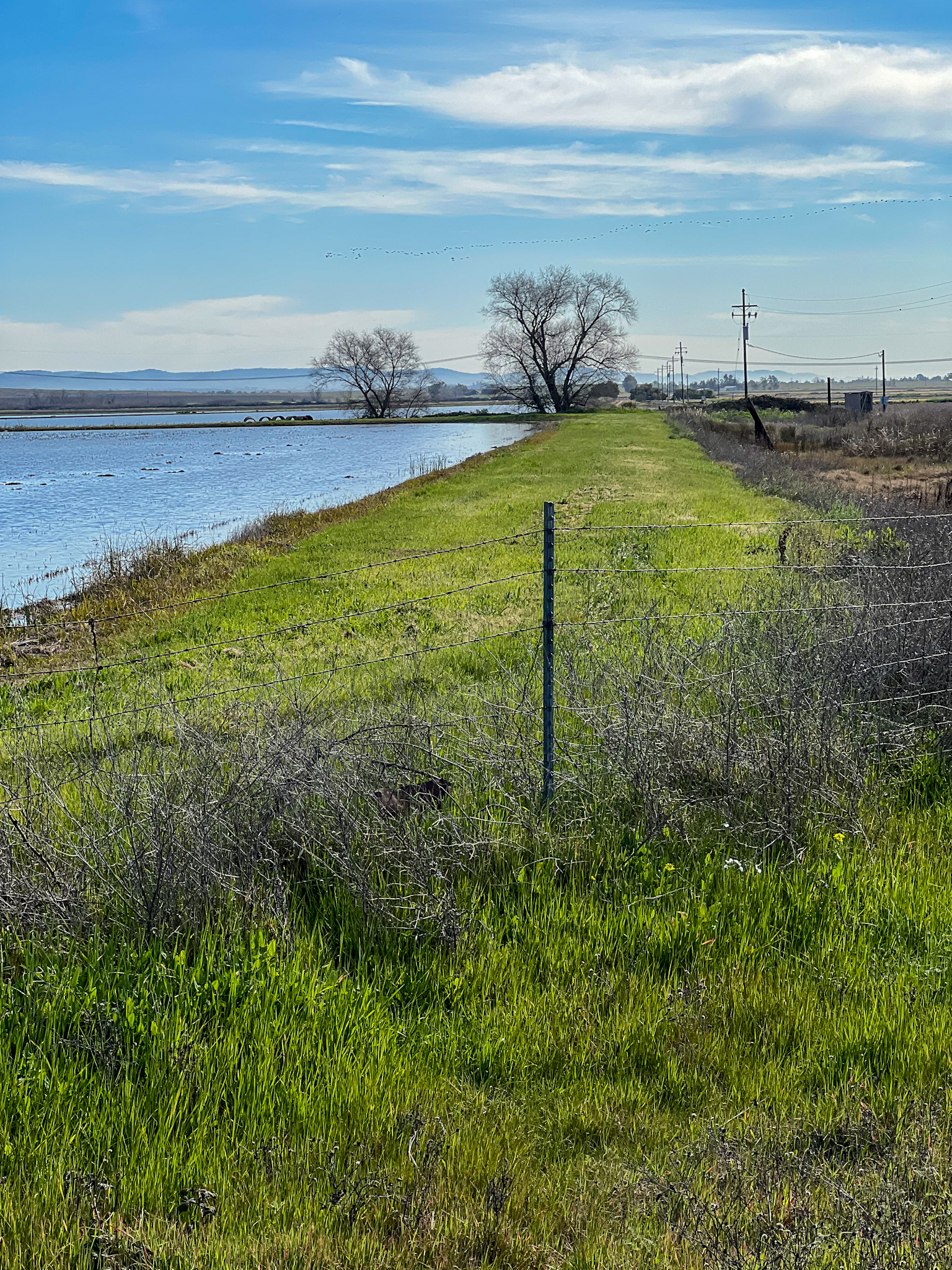
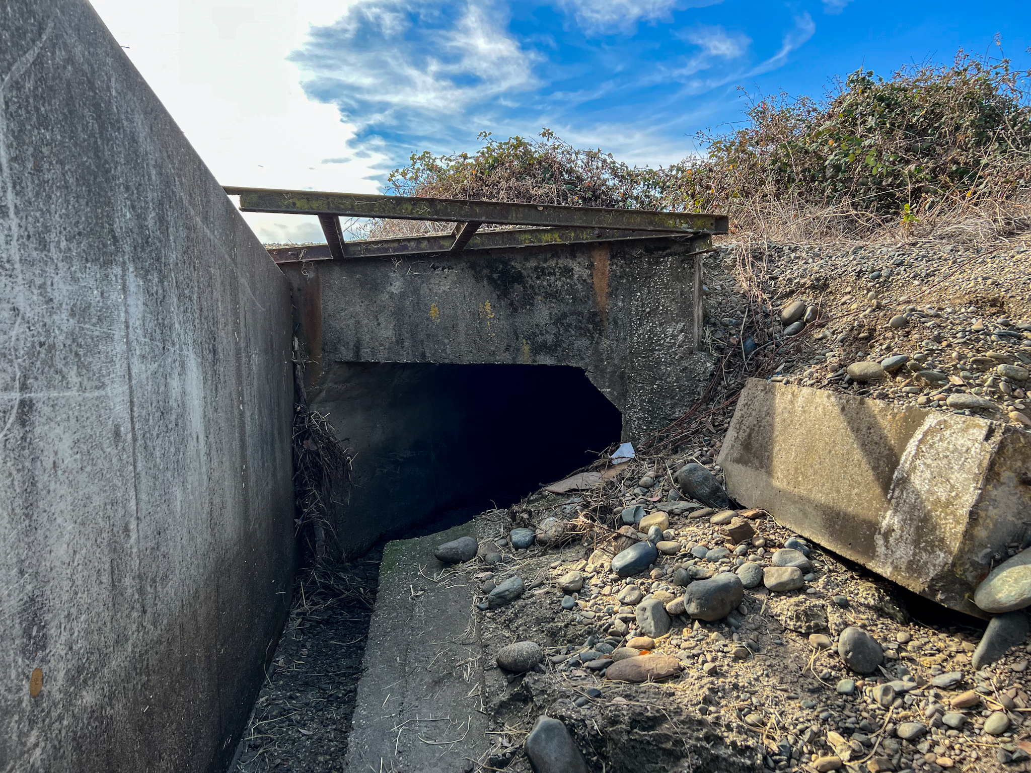
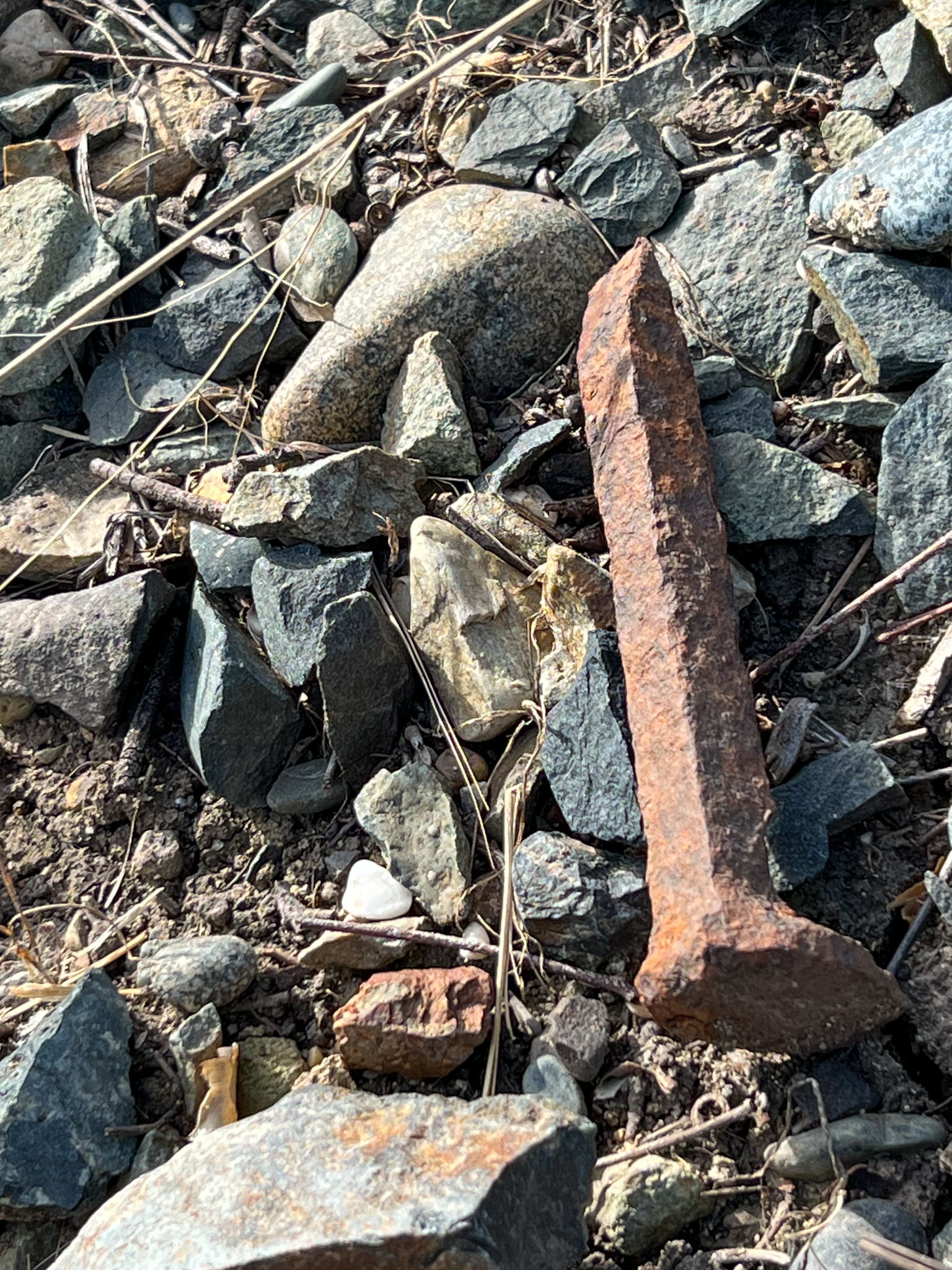
I came across this benchmark while stopping to inspect where the abandoned Sacramento Northern Railroad used to cross State Route 99 (former US 99E), at a point named Shippee. The benchmark is mounted in a concrete headwall, part of the culvert that carries the highway, and at one time the railroad. It is marked by a witness post.

  • COORDINATES: 39.540688, -121.688868
  • MAP: USGS QUAD “SHIPPEE” 2018
  • AGENCY: CGDS
  • TYPE: BENCH MARK DISK
  • SETTING: Set in a concrete ledge.
  • MONUMENTED: 1948
  • NGS PID: KS1155
  • STATUS: RECOVERED
  • CONDITION: EXCELLENT, as of 9 February 2022
1948 topo mark showing the location of the benchmark next to the highway and railroad.
Looking northwest from the east side of Highway 99. The railroad crossed the highway here in a SE to NW direction, with the right-of-way proceeding between the clump of blackberry bushes on the left, and the eucalyptus trees on the right.
Looking northwest up the abandoned right-of-way.
Looking southeast down the abandoned right-of-way.
Culvert that carries the the highway traffic, and one time the railroad.

Random acts of thought, and useless pieces of information – et deinceps per nebula